
Hunting Land and Farms: Minnesota: Rice County

123 Acres Rice County, MN

Property Photo
cover.jpg
S38A8076.jpg
DJI_20260622122034_0368_D.jpg
a7d0ce88-0675-42bd-8866-2b4be97de7fd.jpg
DJI_20260622122110_0371_D.jpg
DJI_20260622122012_0367_D.jpg
S38A8087.jpg
S38A8086.jpg
S38A8077.jpg
DJI_20260622121944_0366_D.jpg
S38A8080.jpg
DJI_20260622122046_0369_D.jpg
S38A8082.jpg
b1534717-e6e7-46ec-b764-e13959ce7e2f.jpg
DJI_20260622122051_0370_D.jpg
S38A8095.jpg
S38A8084.jpg
30dfdab9-f61a-42ae-9d91-29249dfc7cf2.jpg
DJI_20260622121717_0358_D.jpg
S38A8096.jpg
S38A8074.jpg
DJI_20260622122310_0377_D.jpg
S38A8083.jpg
DJI_20260622122352_0378_D.jpg
S38A8085.jpg
DJI_20260622122523_0381_D.jpg
S38A8075.jpg
DJI_20260622122657_0384_D.jpg
DJI_20260622122700_0385_D.jpg
DJI_20260622122732_0387_D.jpg
S38A8073.jpg
DJI_20260622121702_0357_D.jpg
S38A8079.jpg
63da803e-8c78-47b6-9ad7-bad8d8c8f00e.jpg
S38A8088.jpg
S38A8091.jpg
S38A8092.jpg
S38A8093.jpg
6ce6caba-c9bb-484a-ae38-71dea53f8ffd.jpg
fca824d8-7719-403c-9469-c071443762a3.jpg
69bd9452-fd0e-4f80-adcf-277a81c2621f.jpg
83b360bb-17c2-4b4c-a366-5a61add919eb.jpg
600e10f7-0d60-40f3-933b-396b5cf87a71.jpg
709e660f-a26e-42e6-9a3b-397f7d3fa97a.jpg
DJI_20260622121645_0356_D.jpg
DJI_20260622121749_0359_D.jpg
92752979-9804-4ac2-a3b4-597ad7bfc518.jpg
a6dd25f0-1a9f-475d-bf5d-30913523fa8b.jpg
c15d0b8c-39f9-472a-ab2f-e2c141ce1193.jpg
e3af1296-38ce-4748-ac8a-a25ad8a890c8.jpg
aerialmap_1.jpg
cover.jpg
S38A8076.jpg
DJI_20260622122034_0368_D.jpg
a7d0ce88-0675-42bd-8866-2b4be97de7fd.jpg
DJI_20260622122110_0371_D.jpg
DJI_20260622122012_0367_D.jpg
S38A8087.jpg
S38A8086.jpg
S38A8077.jpg
DJI_20260622121944_0366_D.jpg
S38A8080.jpg
DJI_20260622122046_0369_D.jpg
S38A8082.jpg
b1534717-e6e7-46ec-b764-e13959ce7e2f.jpg
DJI_20260622122051_0370_D.jpg
S38A8095.jpg
S38A8084.jpg
30dfdab9-f61a-42ae-9d91-29249dfc7cf2.jpg
DJI_20260622121717_0358_D.jpg
S38A8096.jpg
S38A8074.jpg
DJI_20260622122310_0377_D.jpg
S38A8083.jpg
DJI_20260622122352_0378_D.jpg
S38A8085.jpg
DJI_20260622122523_0381_D.jpg
S38A8075.jpg
DJI_20260622122657_0384_D.jpg
DJI_20260622122700_0385_D.jpg
DJI_20260622122732_0387_D.jpg
S38A8073.jpg
DJI_20260622121702_0357_D.jpg
S38A8079.jpg
63da803e-8c78-47b6-9ad7-bad8d8c8f00e.jpg
S38A8088.jpg
S38A8091.jpg
S38A8092.jpg
S38A8093.jpg
6ce6caba-c9bb-484a-ae38-71dea53f8ffd.jpg
fca824d8-7719-403c-9469-c071443762a3.jpg
69bd9452-fd0e-4f80-adcf-277a81c2621f.jpg
83b360bb-17c2-4b4c-a366-5a61add919eb.jpg
600e10f7-0d60-40f3-933b-396b5cf87a71.jpg
709e660f-a26e-42e6-9a3b-397f7d3fa97a.jpg
DJI_20260622121645_0356_D.jpg
DJI_20260622121749_0359_D.jpg
92752979-9804-4ac2-a3b4-597ad7bfc518.jpg
a6dd25f0-1a9f-475d-bf5d-30913523fa8b.jpg
c15d0b8c-39f9-472a-ab2f-e2c141ce1193.jpg
e3af1296-38ce-4748-ac8a-a25ad8a890c8.jpg
aerialmap_1.jpg
Aerial Photo
123 Acres Rice County
123 Acre Income Producing Farm in Rice County
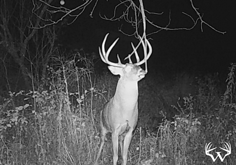
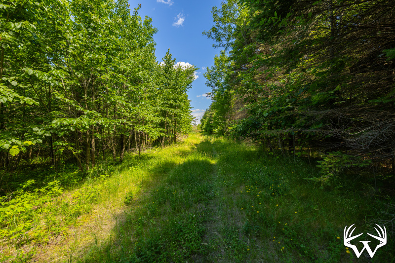
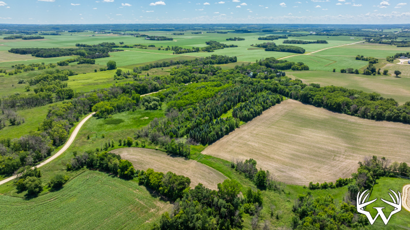
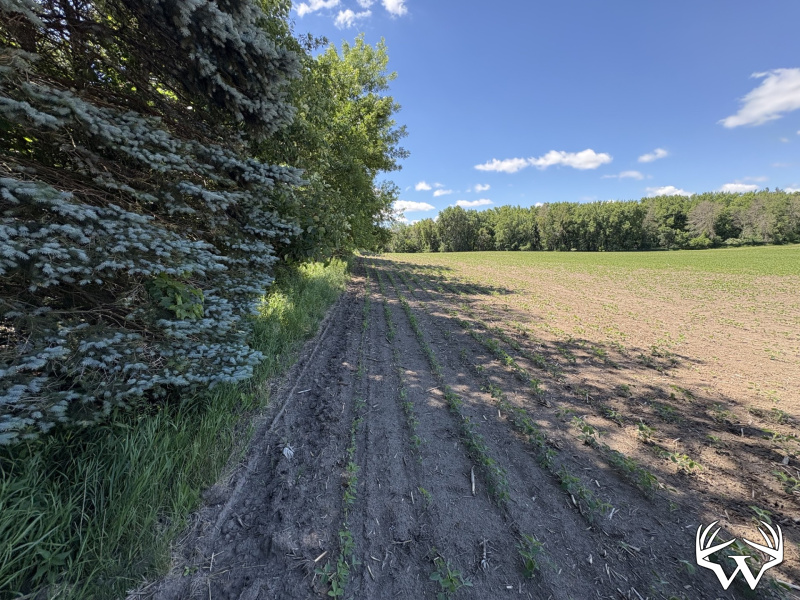
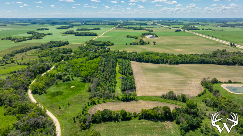
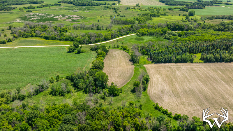
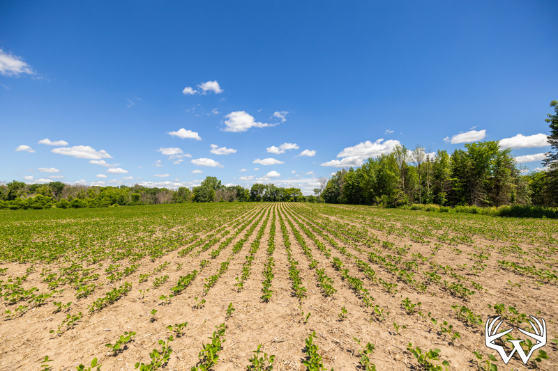
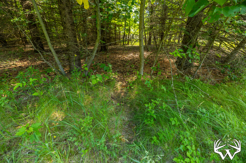
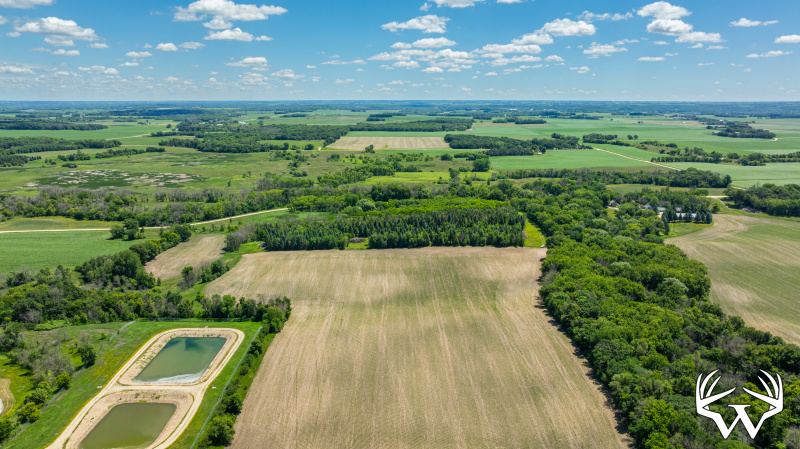
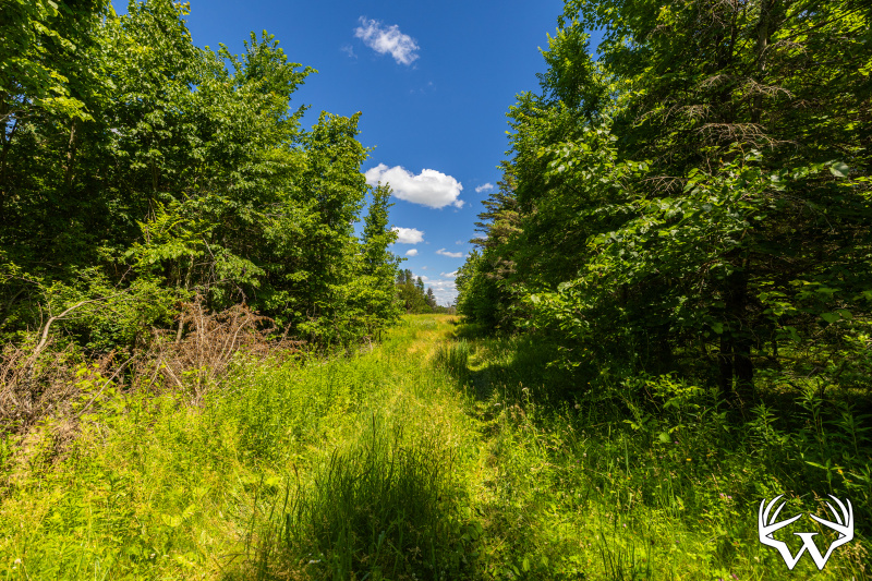
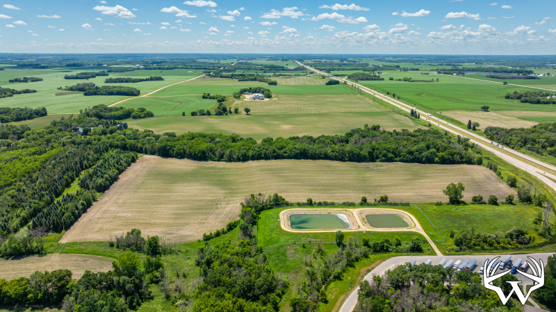
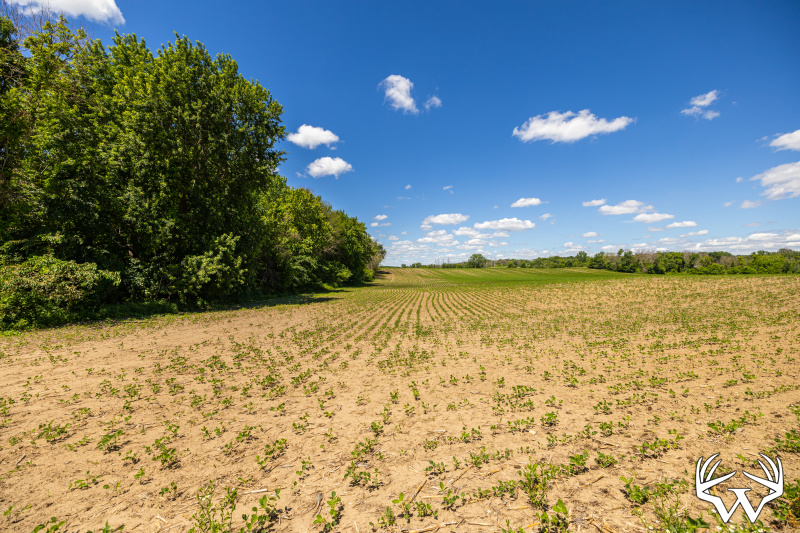
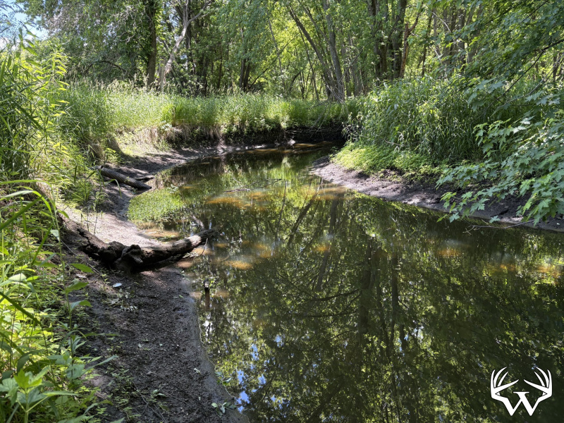
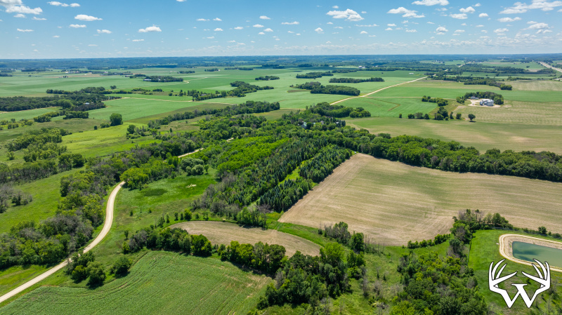
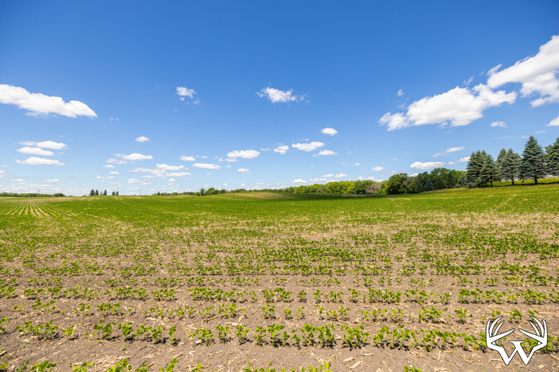
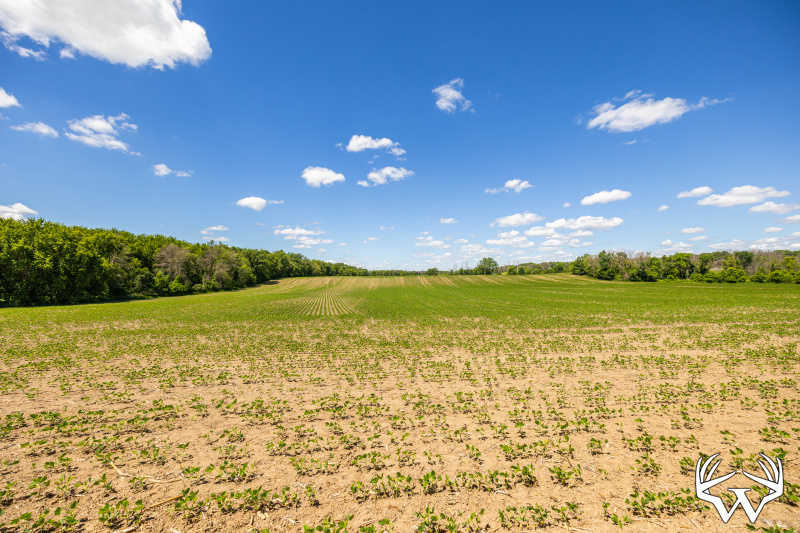
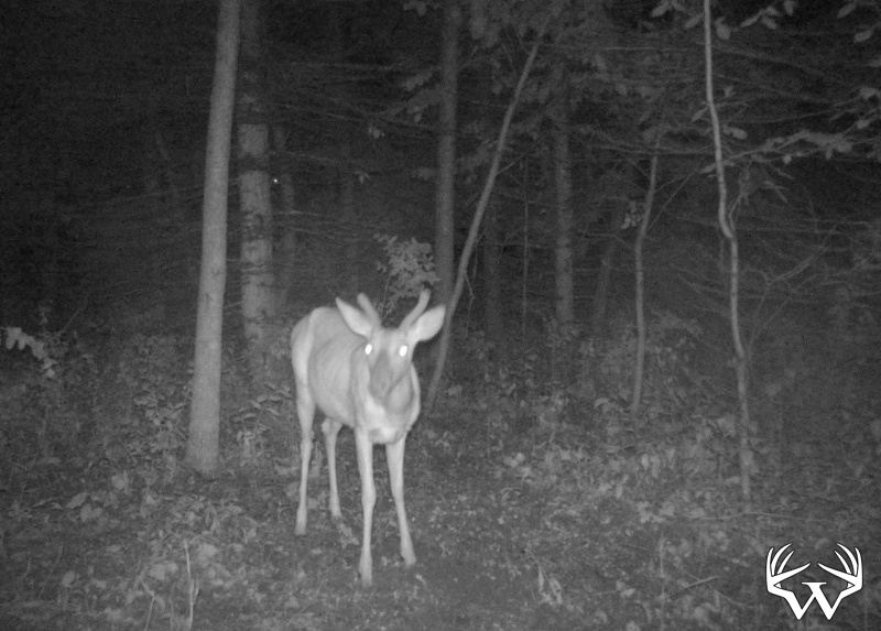
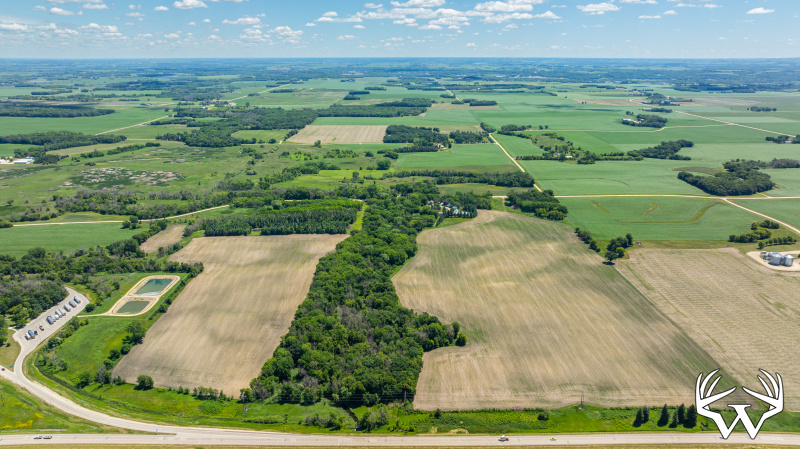
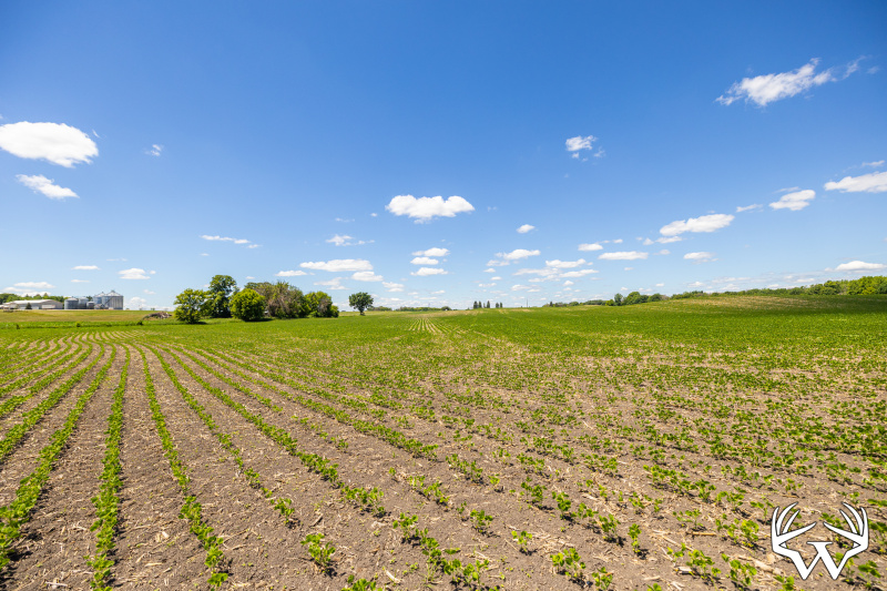
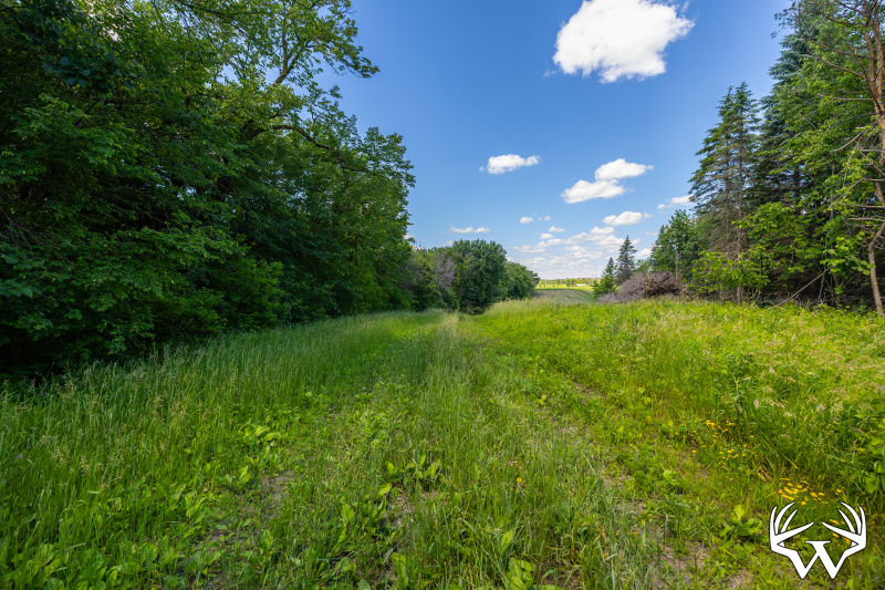
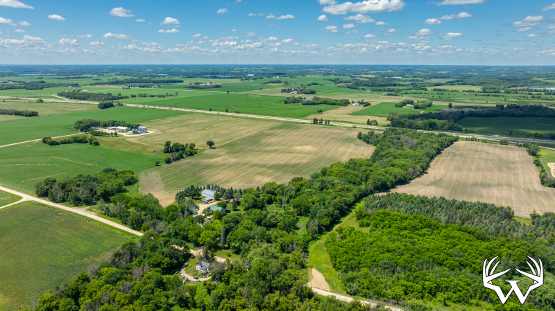
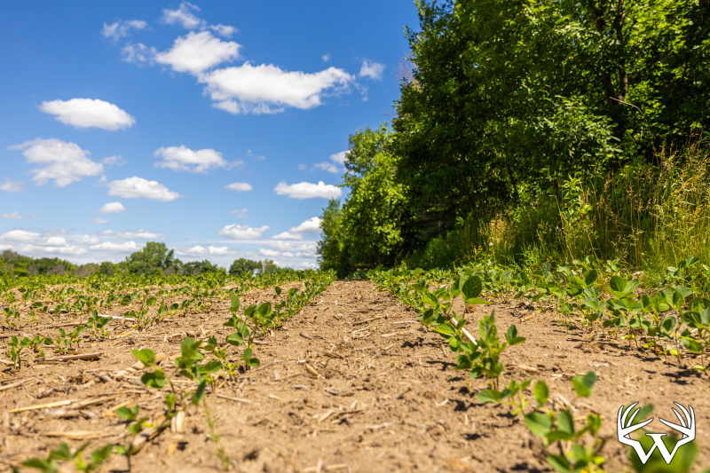
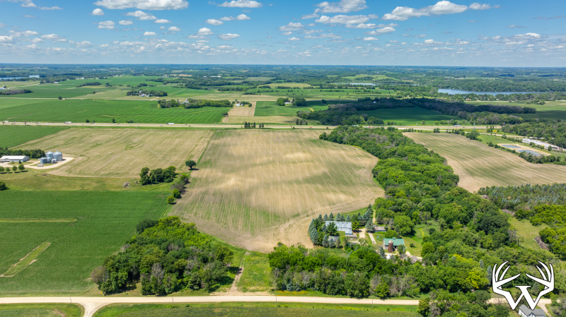
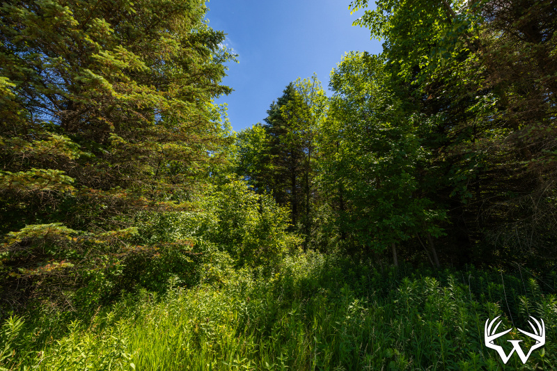
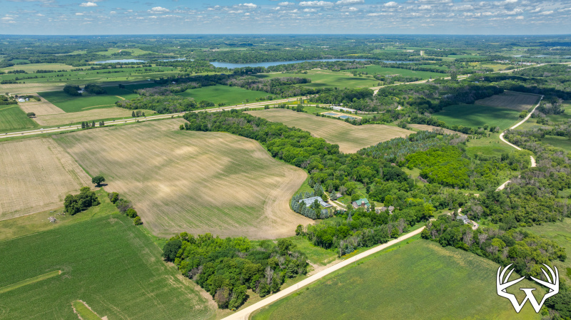
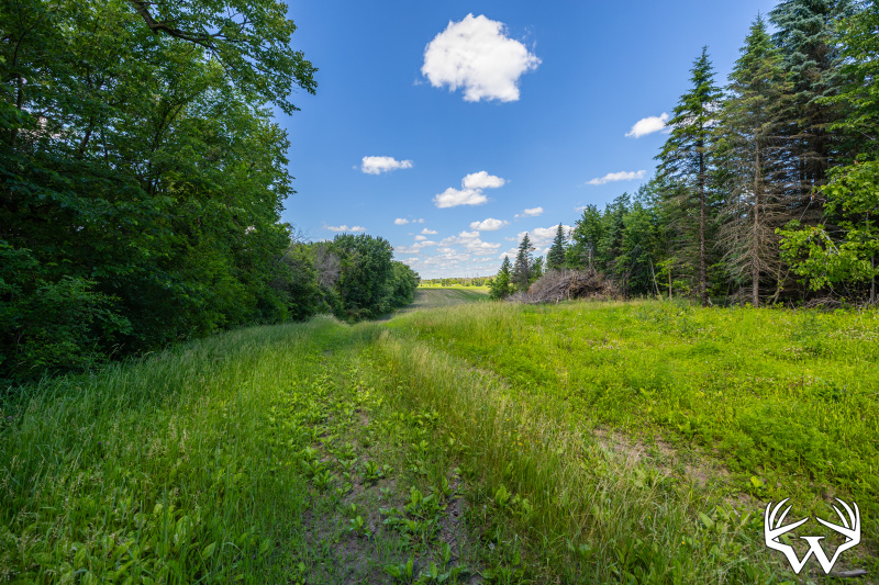
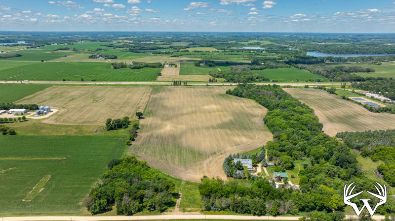
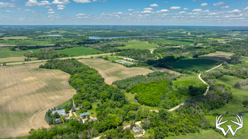
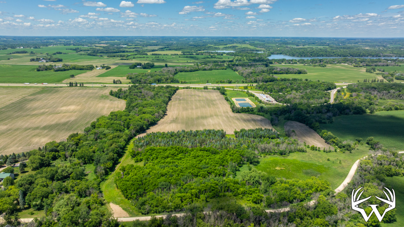
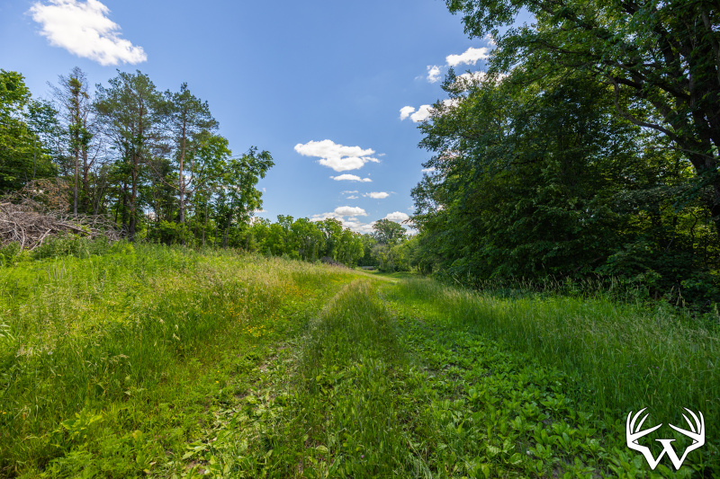
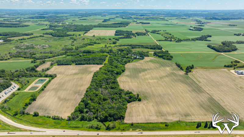
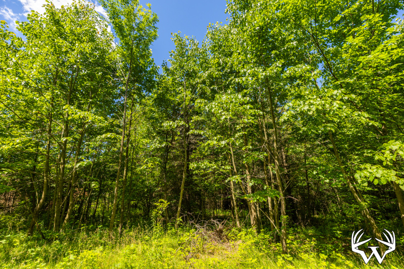
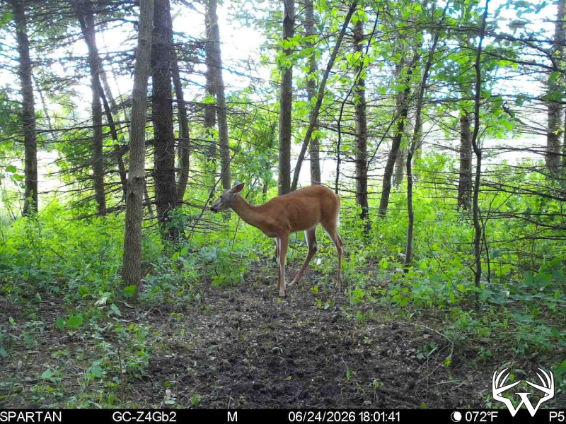
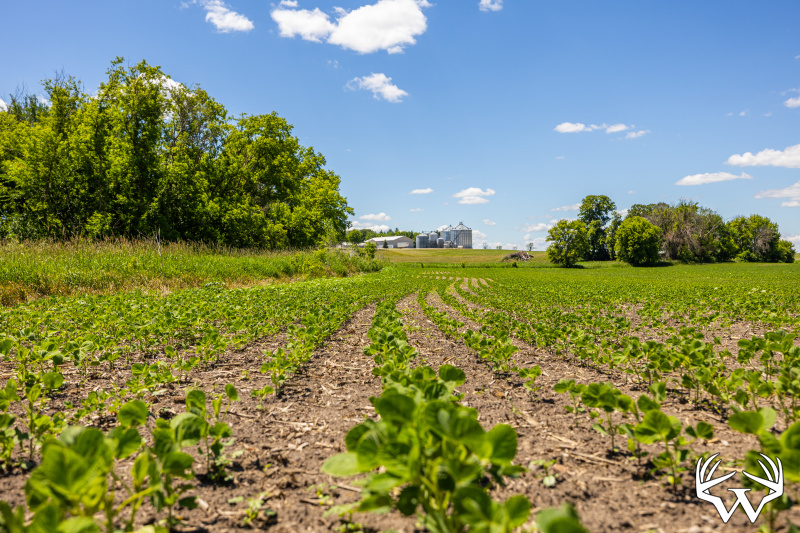
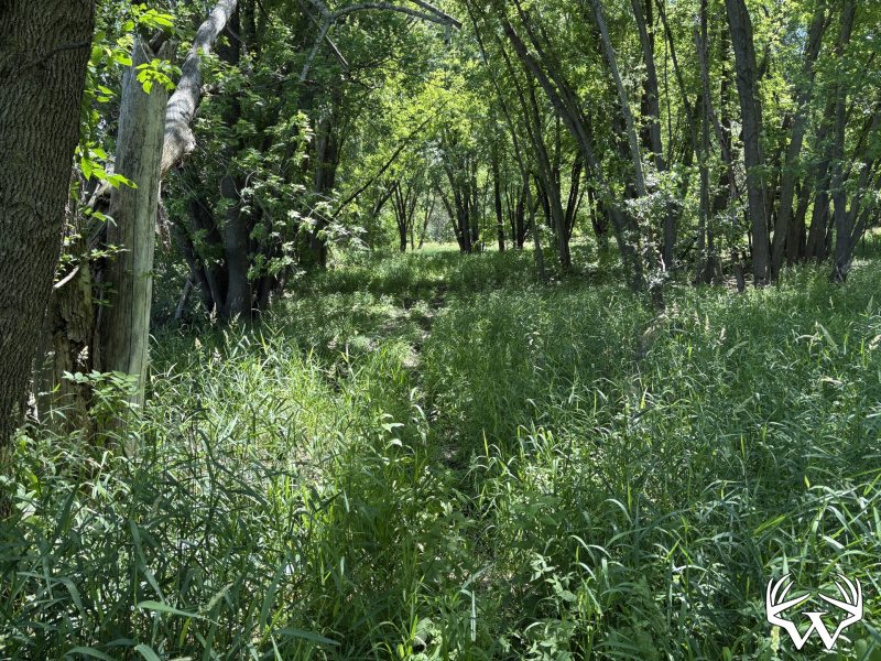
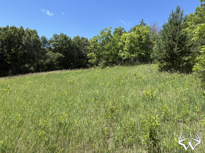
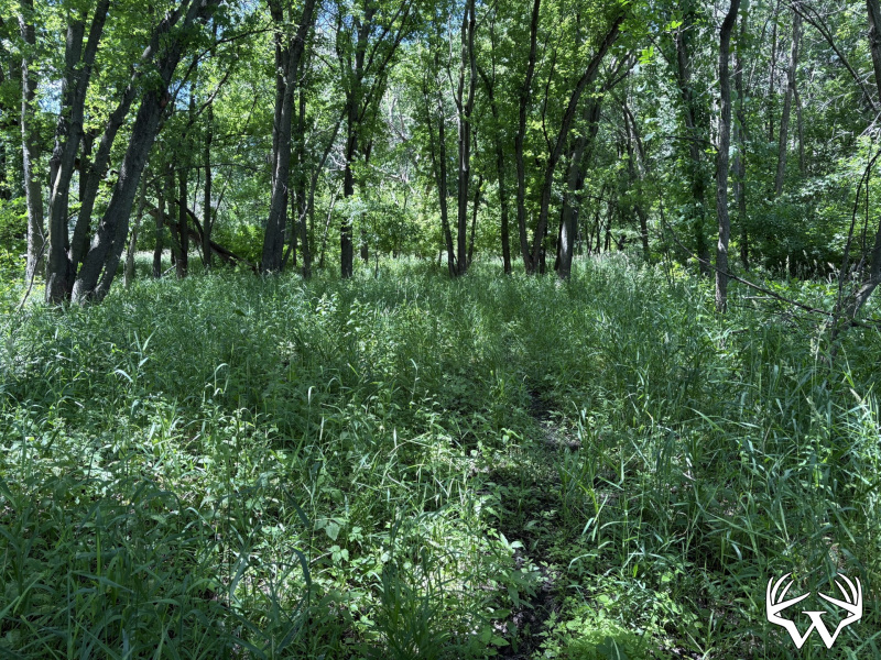
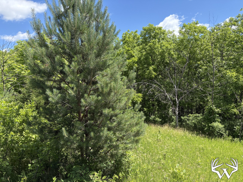
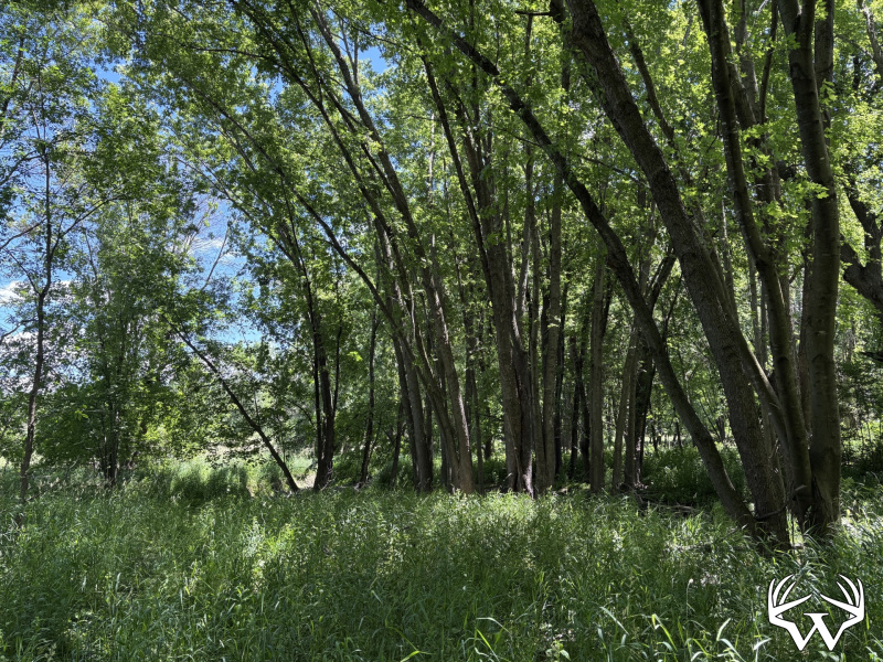
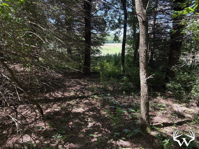
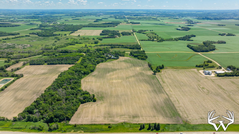
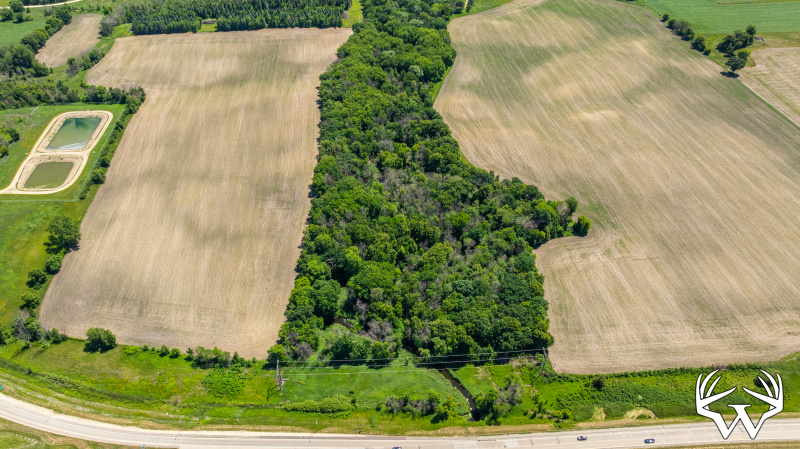
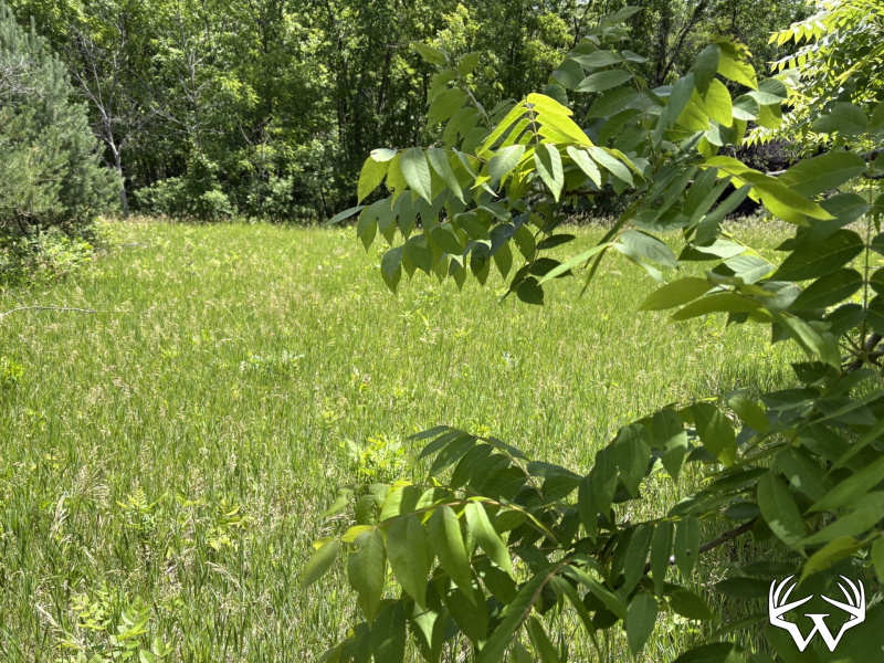
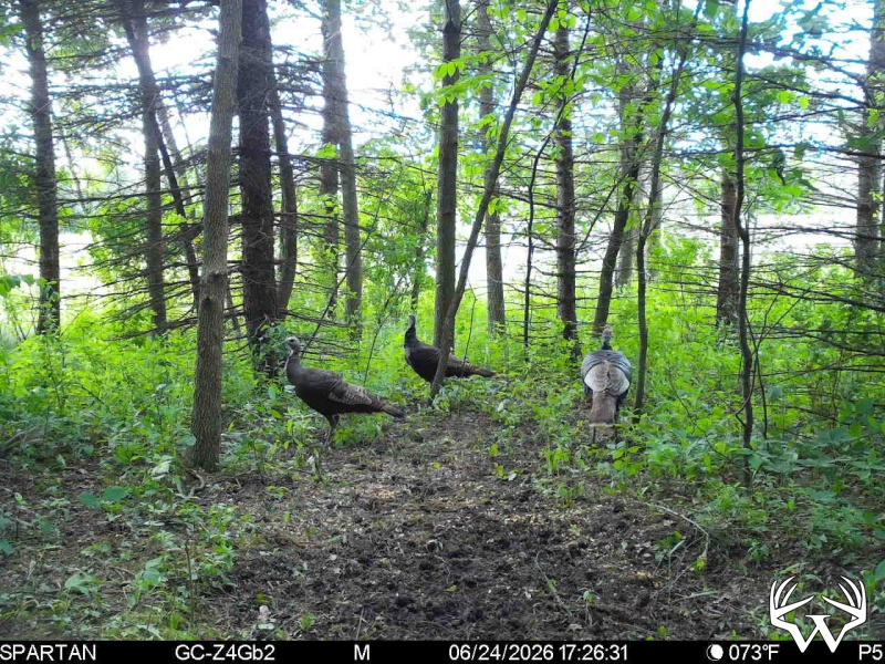
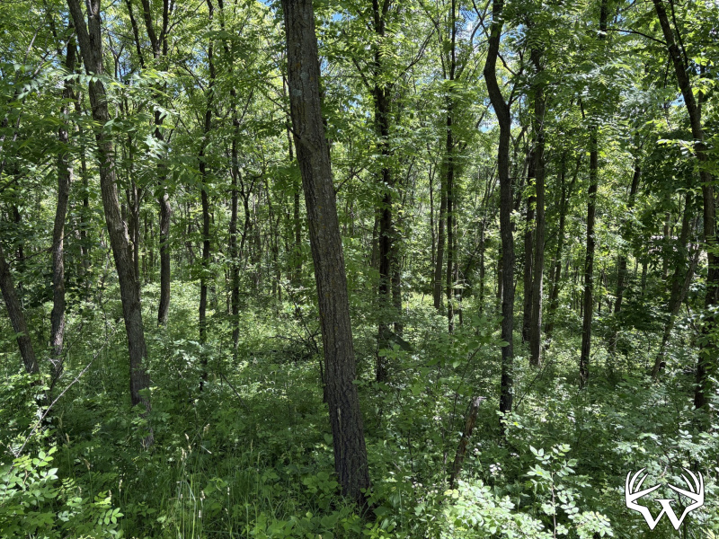
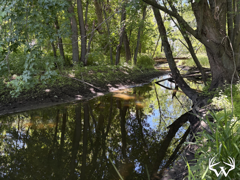
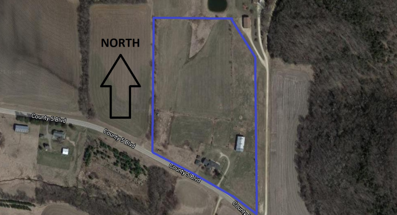
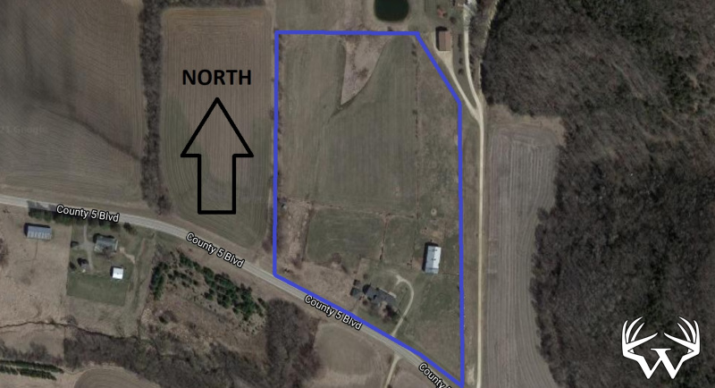
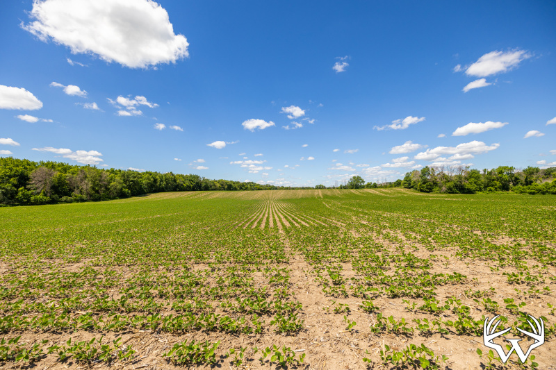
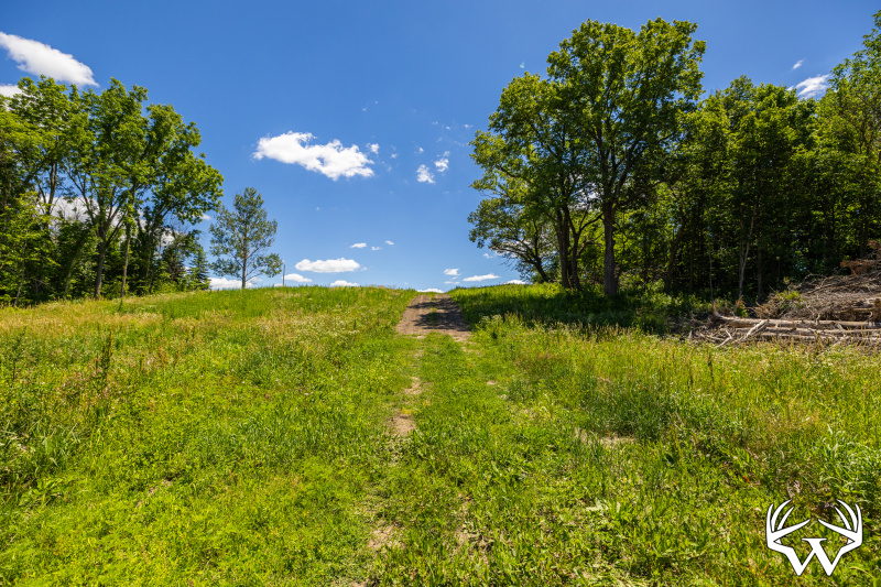
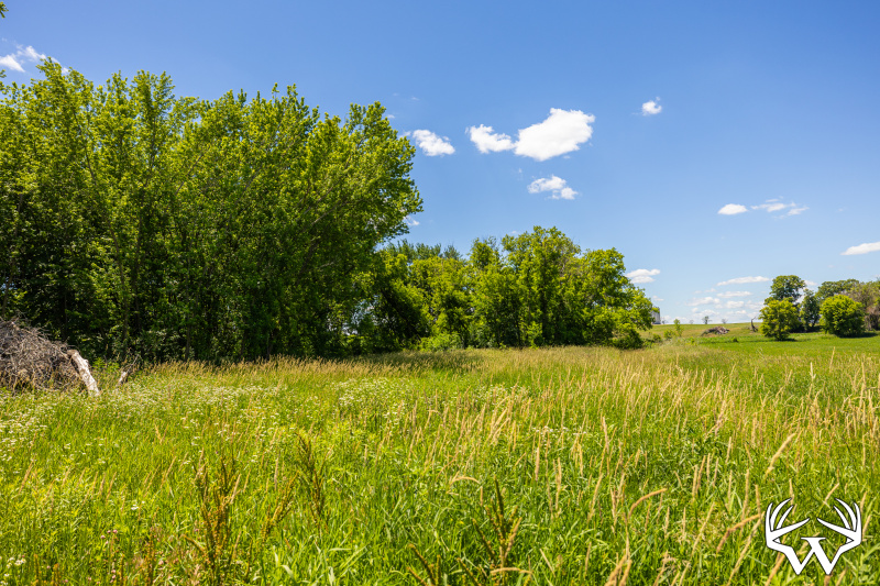
Welcome to this exceptional 123 +/- acre income producing farm in Rice County. Located West of Northfield, this property offers everything from productive tillable soil, rolling hunting terrain, and long-term investment potential. The farm maintains 78 +/- acres of pattern tiled tillable ground with an average Crop Production Index rating of 79. The land showcases a large grove of walnut trees, followed by a natural hillside comprised of spruce, pine, cottonwood, maple, and poplar. Past that is 1/2-mile of Heath Creek surrounded by large maple trees and natural prairie grass cover. The layout, concealment, water, and crops all provide a superior habitat for whitetail deer, turkey, and waterfowl. Secluded from everything is a 2-acre portion of farmland cutting into the timber and wetlands that would be an ideal place for a food plot. Another distinctive feature of the farm is an easy to access elevated setting delivering landscape views of the countryside. An added benefit of this property is it may be farmed as early as the 2027 growing season. If you are looking for a property to fulfill a 10-31 tax exchange, land to add to your farming operation, or are simply in the market for a solid investment in a multi-use segment of ground, look no further! Properties that maintain all these qualities in one tract are a rare find.

*Yearly rent income of $19,890, current rent contract expires after 2026 harvest
*Crop, timber, and hunting income provide strong value for an investor
*Heavily timbered areas with various tree species
*78 +/- acres tillable, majority pattern tilled
*5 +/- acre walnut grove
*Impressive land terrain features
*Possible building eligibility
*Easy access off I-35
 

Documents:

Directions:

From I-35, take the highway 19 East exit. At the roundabout, immediately go South on Anoka avenue to Base Line Rd. Go South on Base Line Rd for 1 mile, property is located on the West side of Base Line Rd.
 
Please respect landowners and do not trespass on property for viewing without permission.

Features:

List Price:
$1,200,000
MLS #
7099057
Status:
Active
Property Type:
Farm, Hunting, Recreational
Zoning:
Agricultural
Address:
TBD Base Line Rd
City/State:
Dundas, MN
School District:
659 - Northfield
Township:
Forest
Sec/Twp/Rng:
S01/T111/R021
Road Access:
Township Gravel
Taxes:
$6,382
Tax Year:
2026
Water:
None
Sewer:
None
Outbuildings:
No
Land Type:
Cropland
Acres:
123
Tillable Acres:
78
Wooded Acres:
30
Cooperating Broker Compensation:
2%
TBD Base Line Rd, Dundas, MN
Contact Your
Weiss Realty Agent...
Andrew Larson
MN & IA Agent, Land Specialist
Office: 715-672-4444
Mobile: 507-382-1416
Send Email
Request Information
To receive additional information about this property, fill out the form below.
What color is snow?
MORTGAGE CALCULATOR
Years:
Interest:
Loan Amount:
Annual Tax:
Annual Insurance:

Results:
Monthly Principle
+ Interest:
--
Monthly Tax:
--
Monthly Insurance:
--
Total Payment:
--