Hunting Land and Farms: Wisconsin: Pierce County
69 Acres Pierce County - Sold!

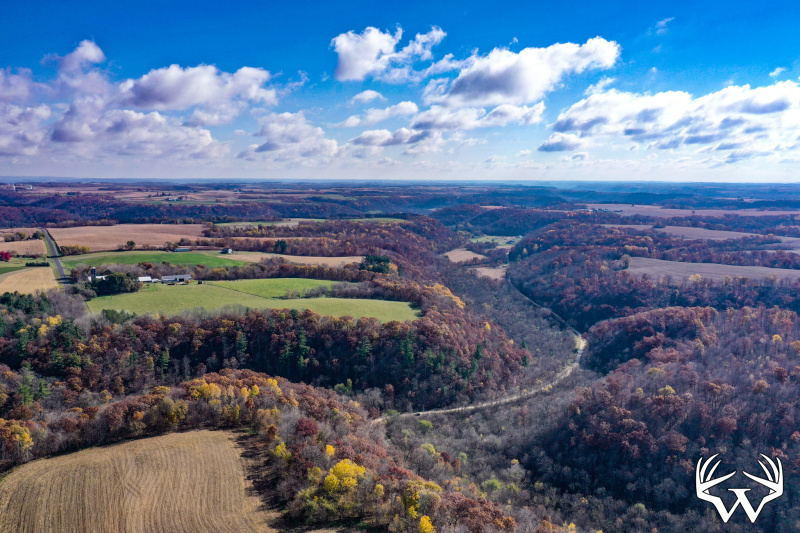
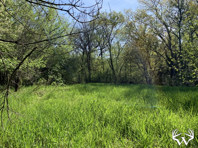
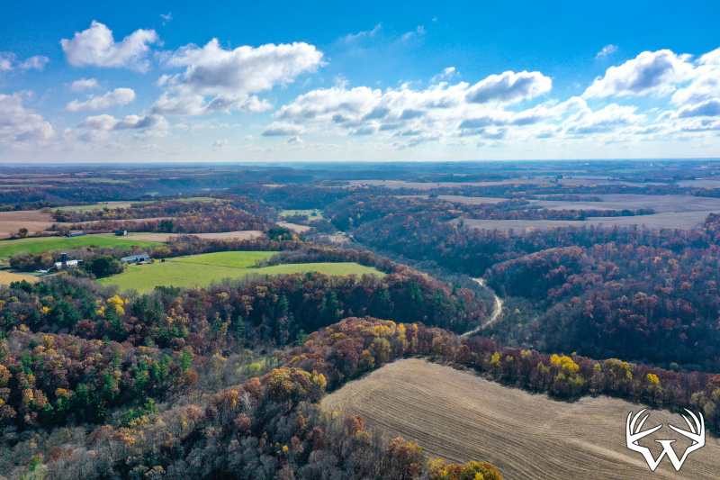
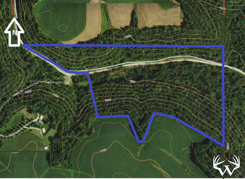
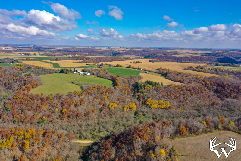
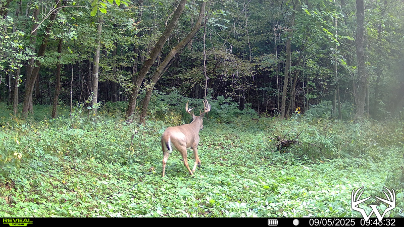
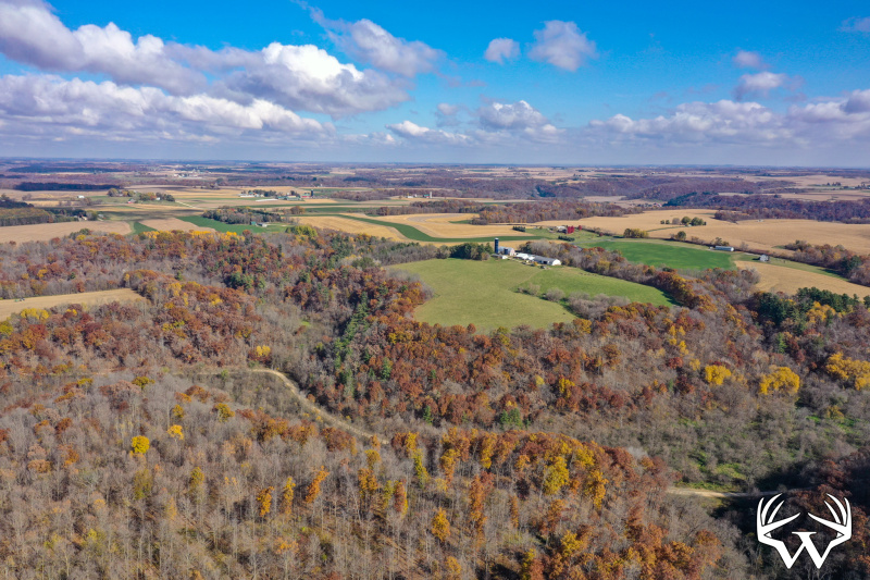
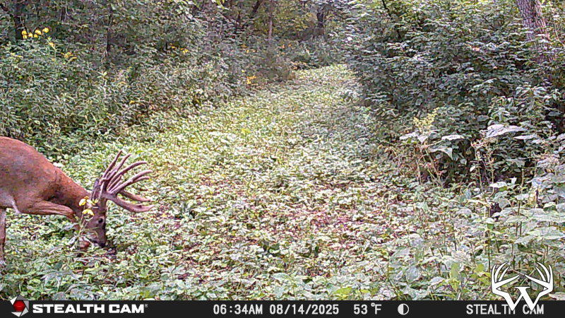
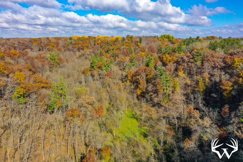

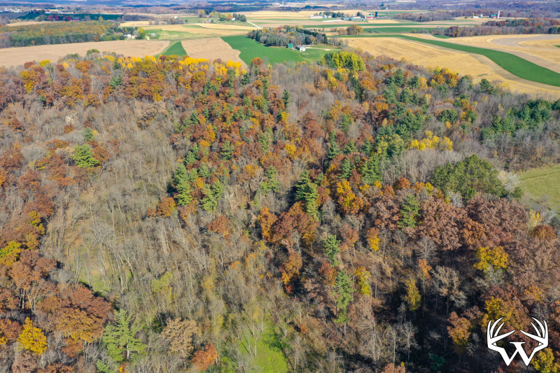
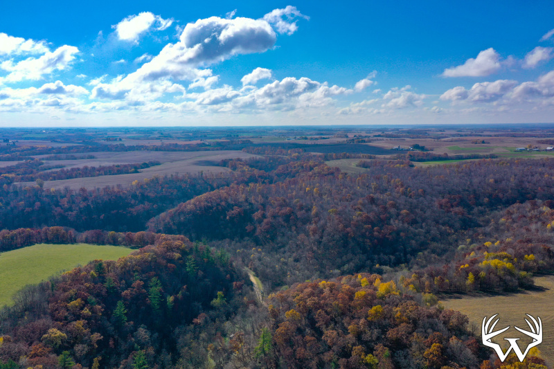
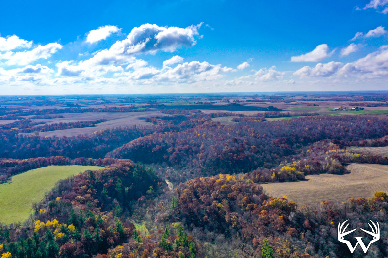
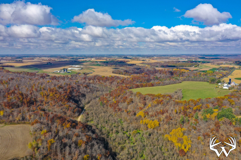


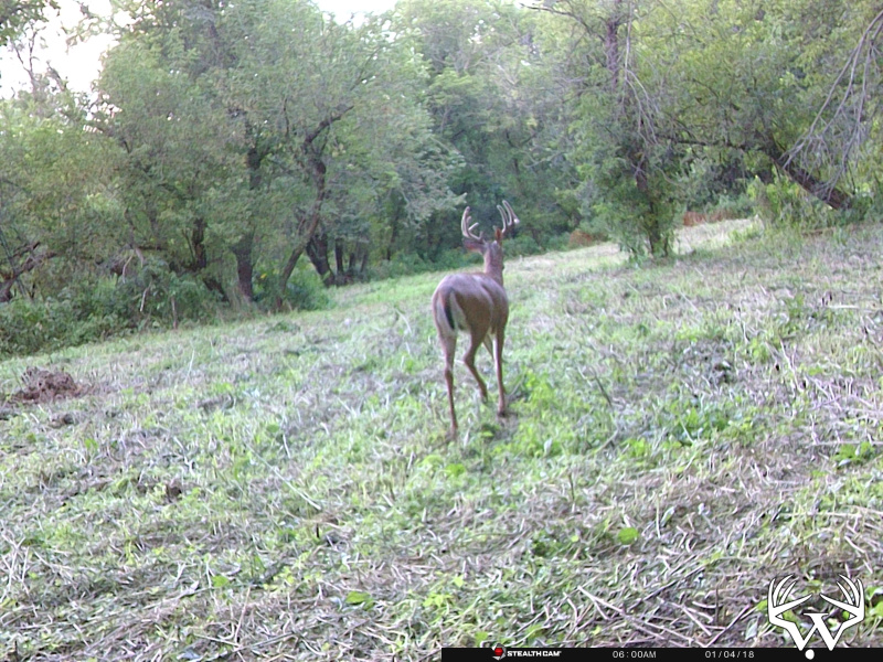
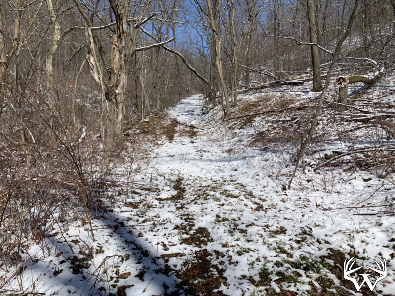
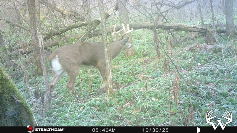
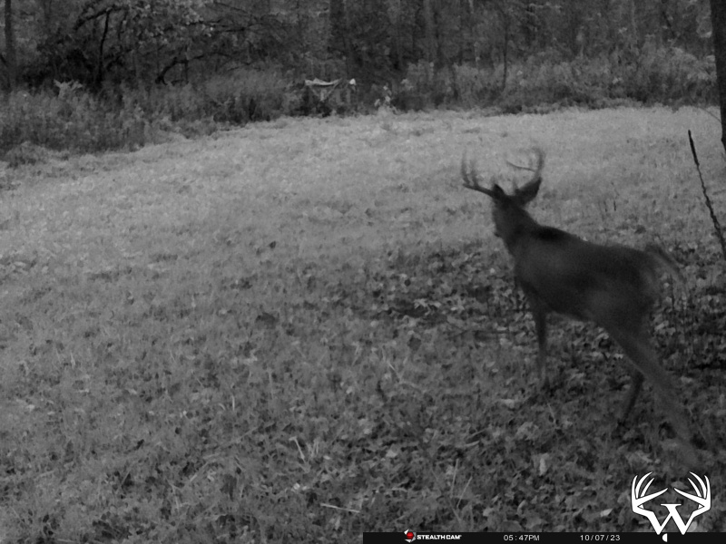


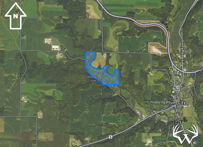
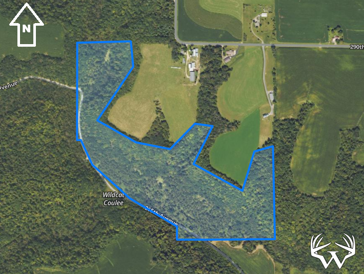
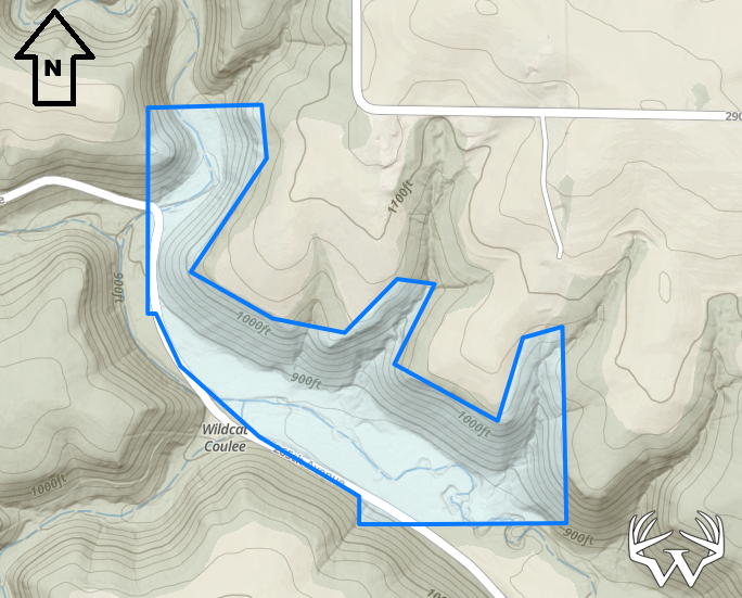
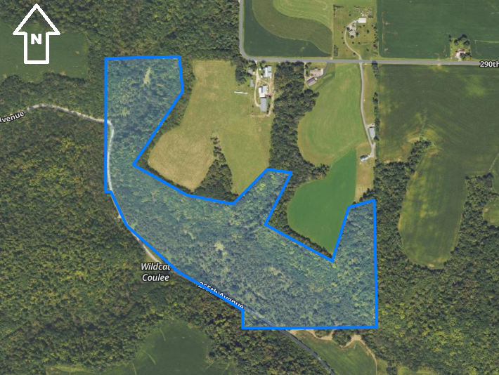
69 Acres Pierce County
Directions:
From Ellsworth WI, take Hwy 10 East 15 miles to 220th Street. Take 220th South 1 mile to 265th avenue. Follow 265th one mile East property on left side. From Plum City take Maple Avenue West ½ mile then go North on 265th 1 mile. Property on the right side of road.Please respect landowners and do not trespass on property for viewing without permission.
Features:
List Price:
$499,000
MLS #
7056343
Status:
Sold
Property Type:
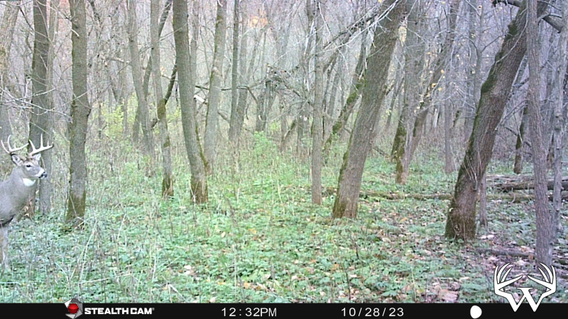
Hunting, Recreational, Sold
Zoning:
Agricultural
Address:
TBD69 265th Ave
City/State:
Plum City, WI
School District:
Plum City
Township:
Union
Sec/Twp/Rng:
S20&21/T25/R15
Road Access:
Public Gravel
Taxes:
$655
Tax Year:
2025
Lot Size:
Irregular
Electricity:
None
Water:
None
Sewer:
None
Outbuildings:
No
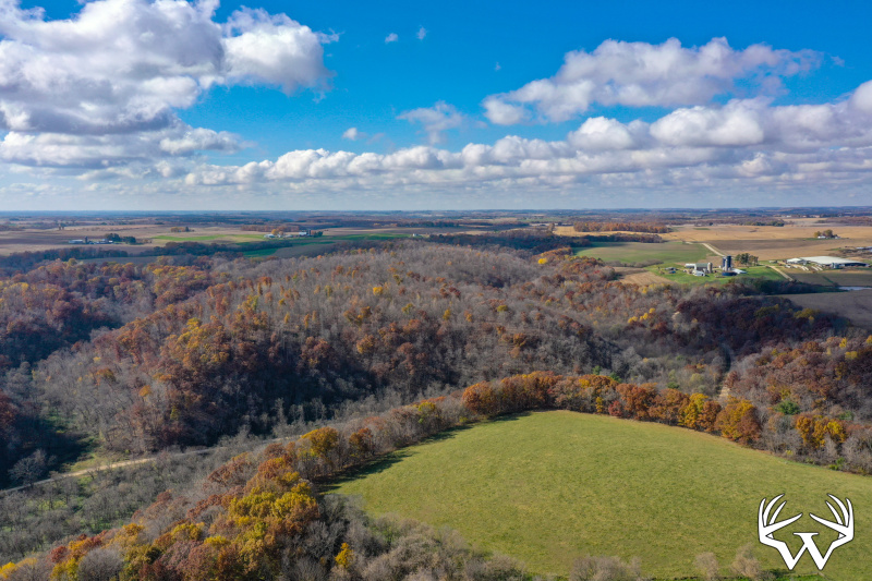
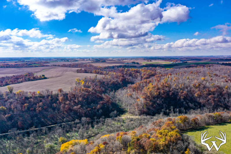
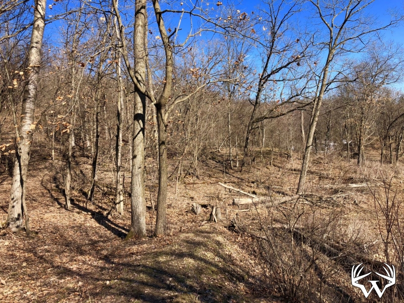
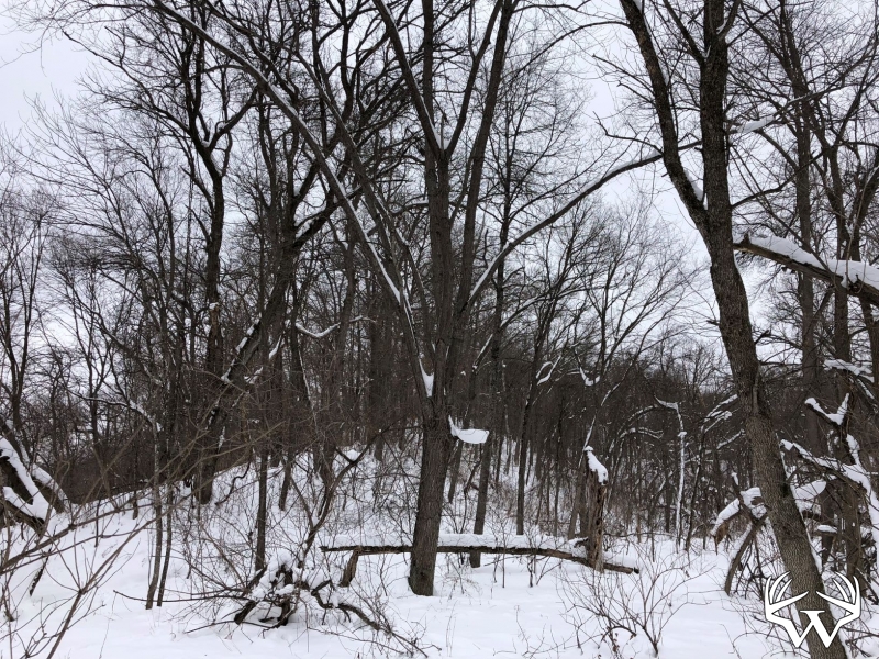
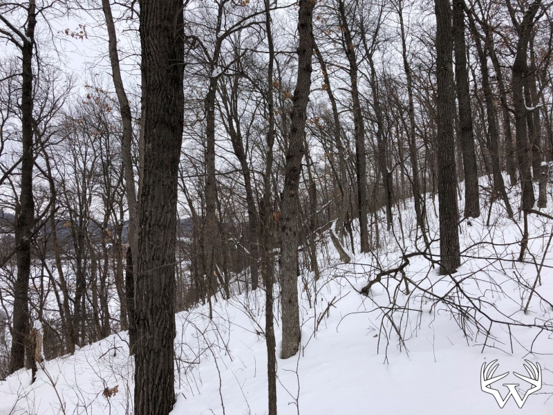
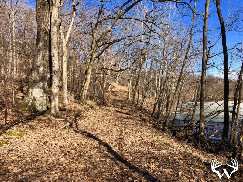
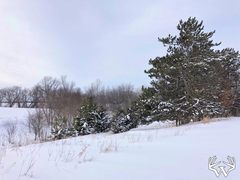
Land Type:
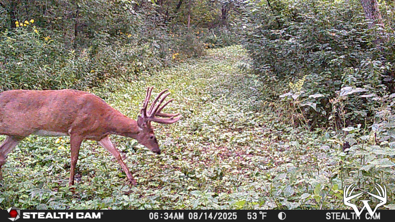
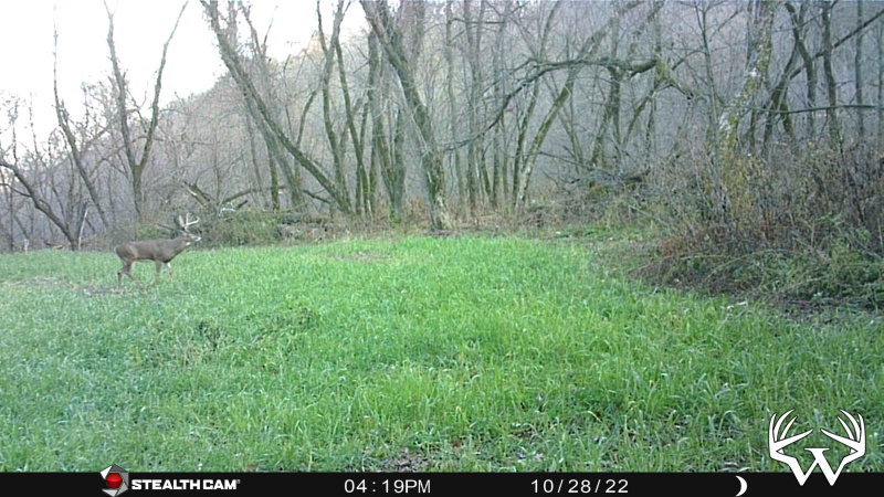
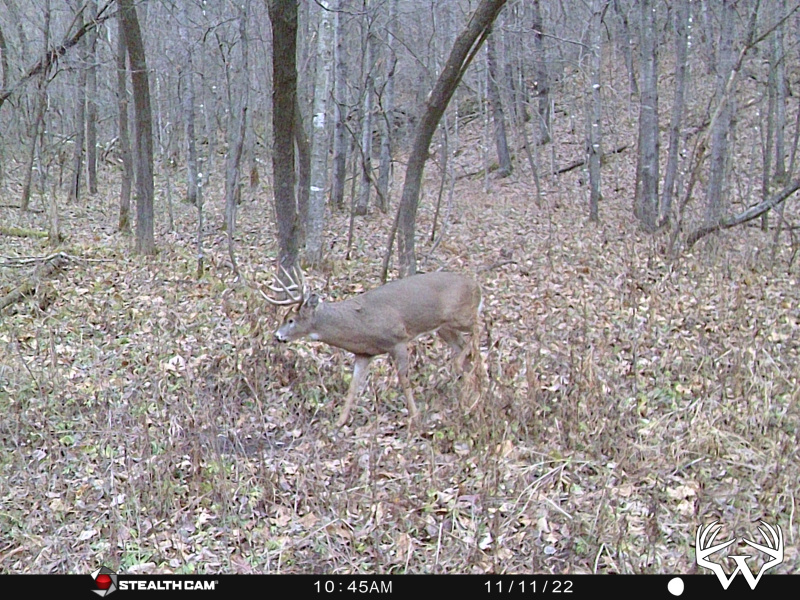
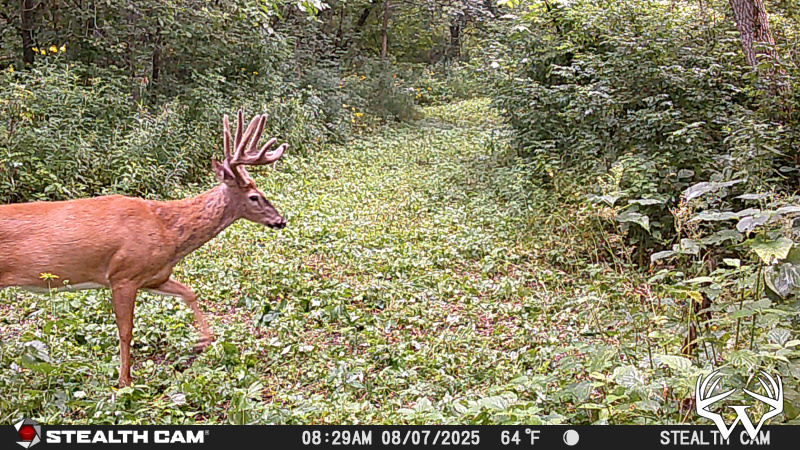
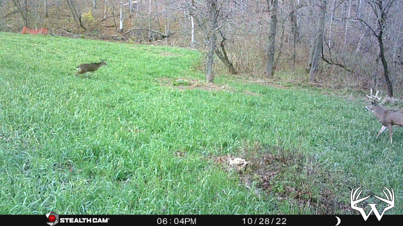
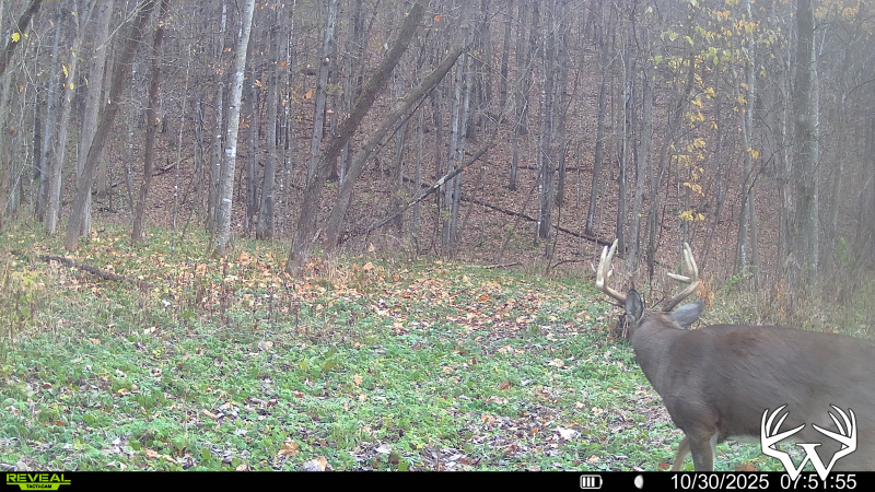
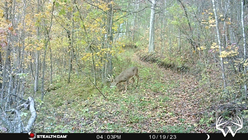
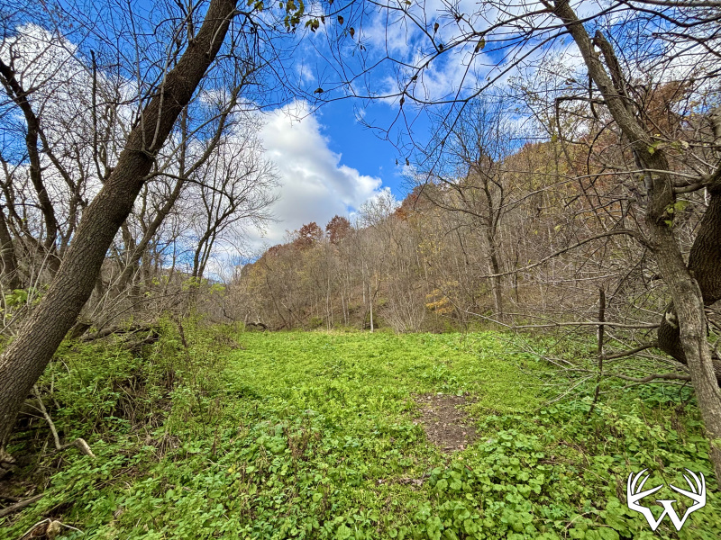
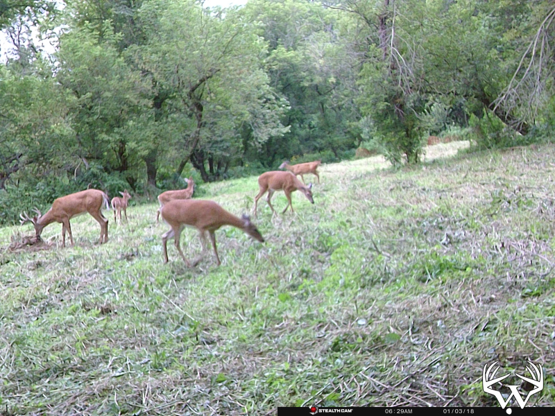
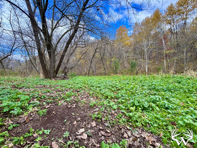
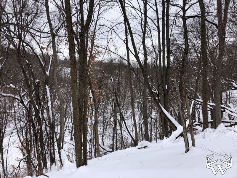
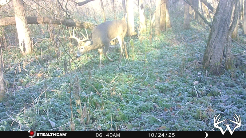
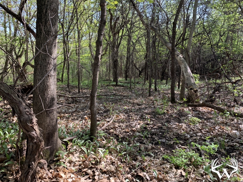
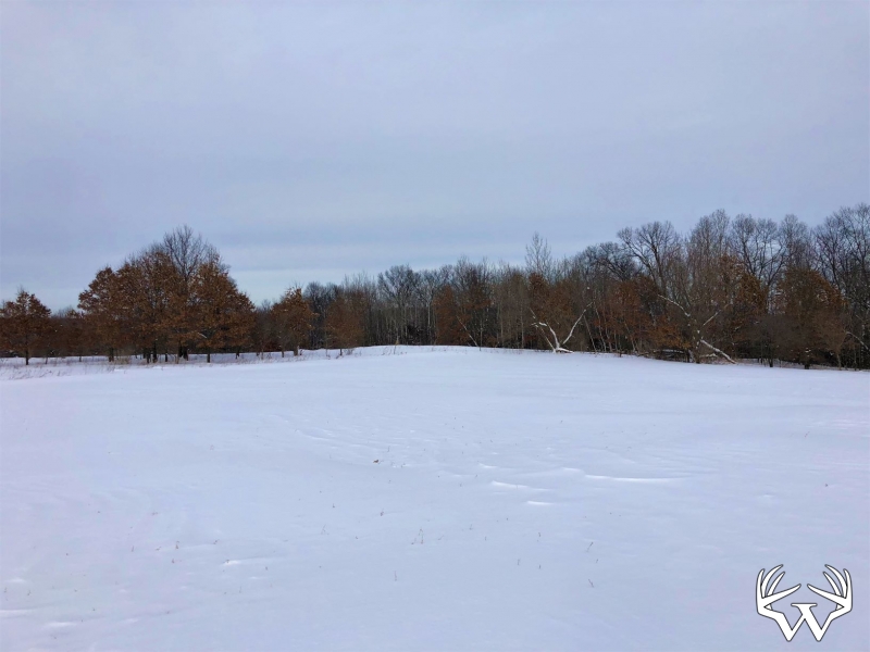
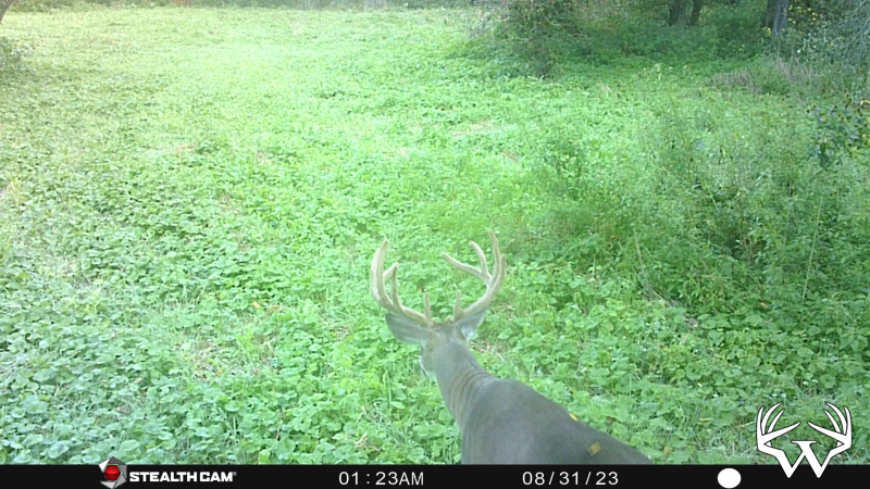
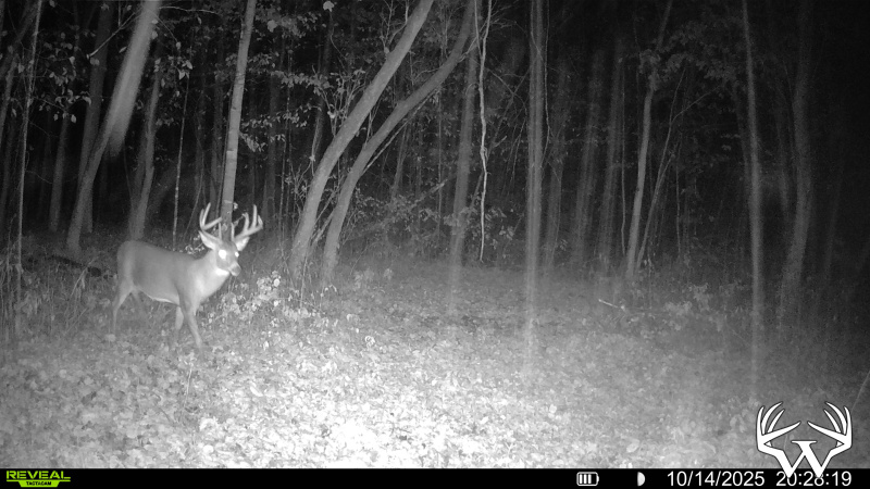
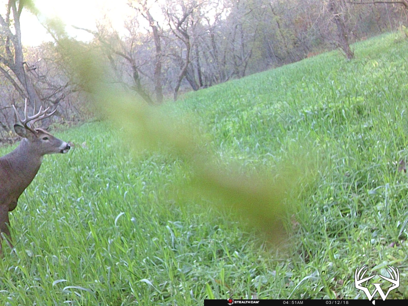
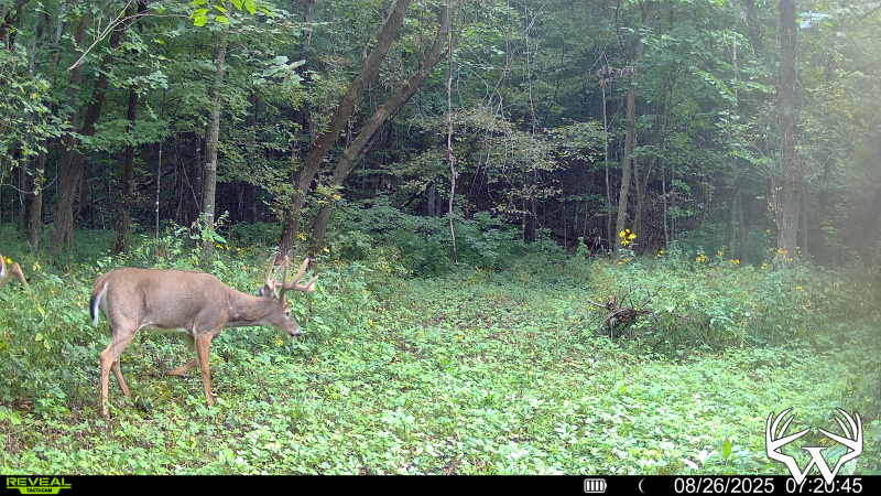
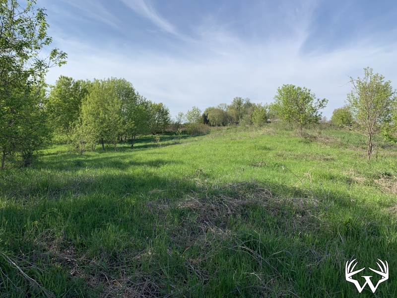
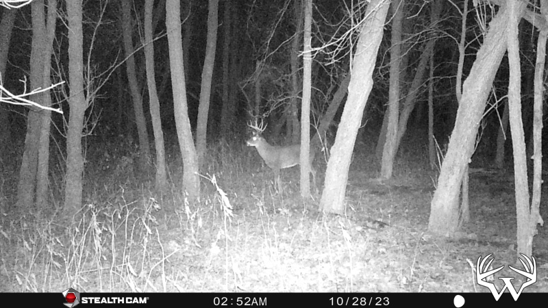
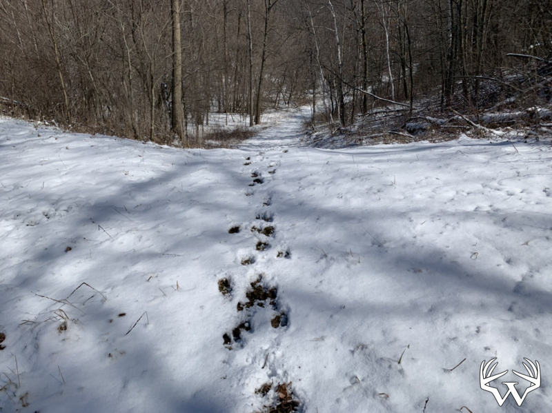
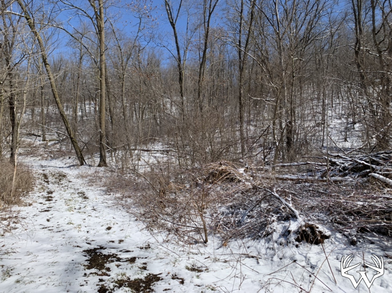
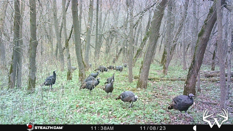
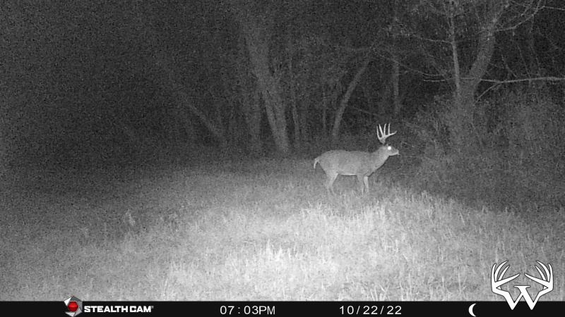
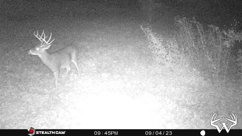
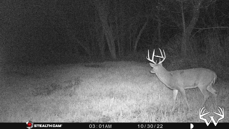
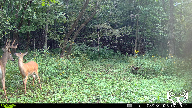
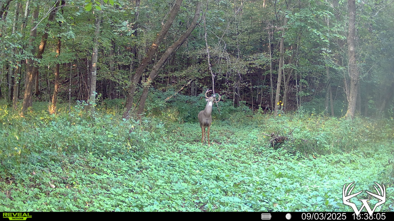
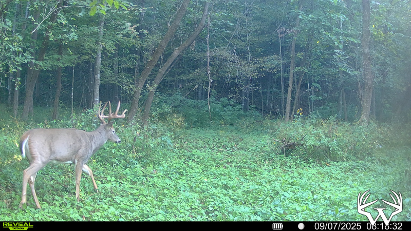
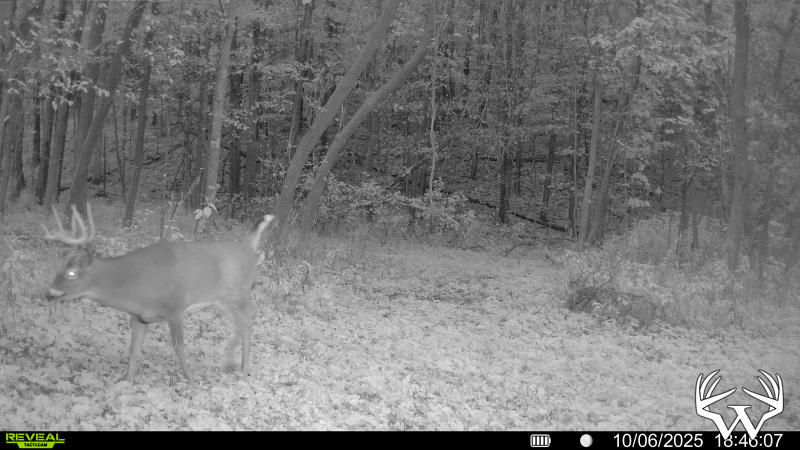
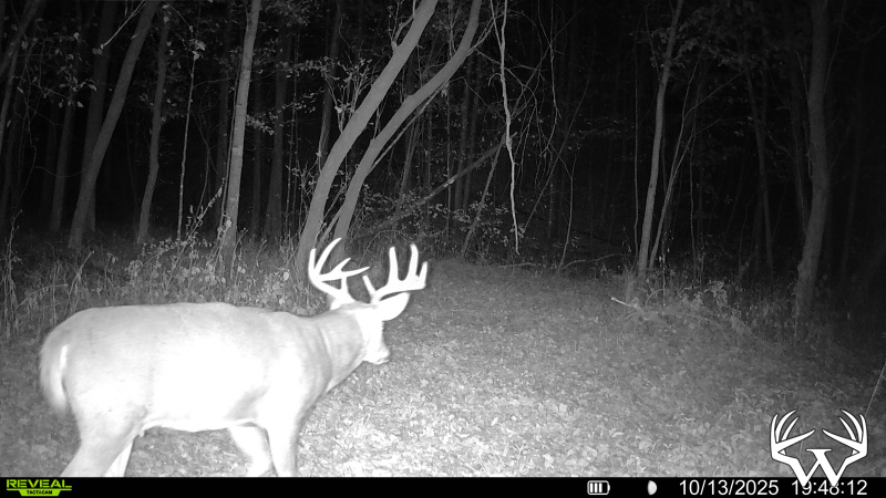
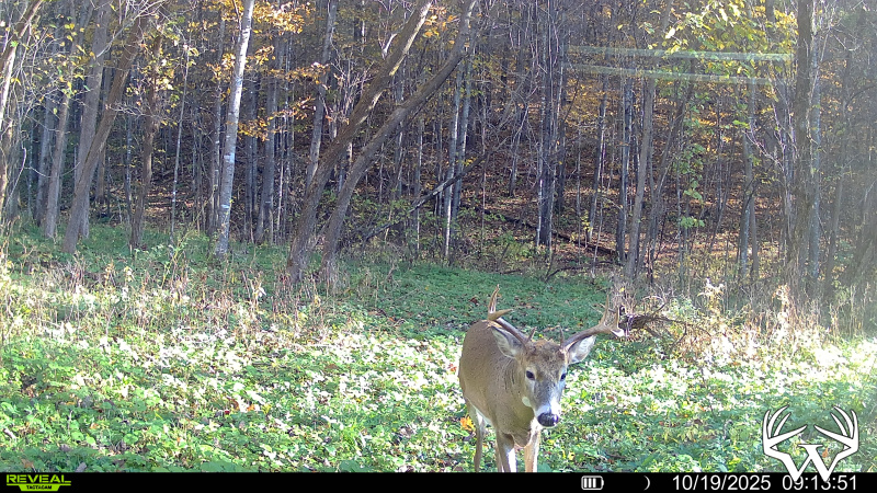
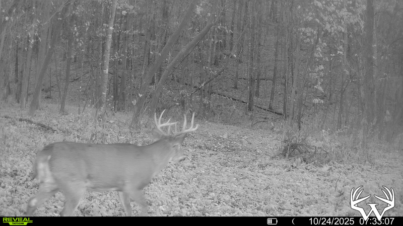
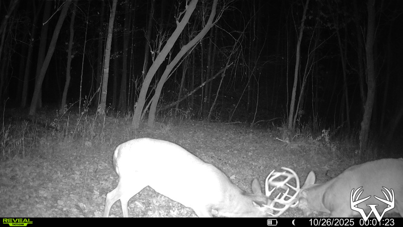
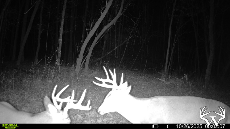
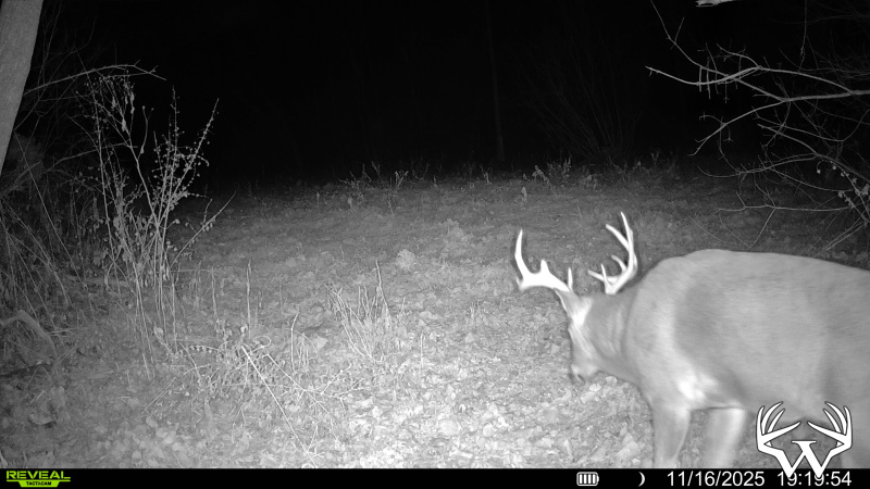
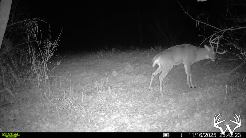
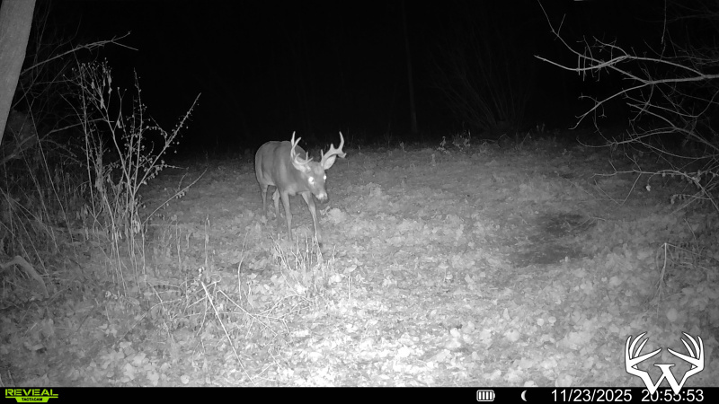
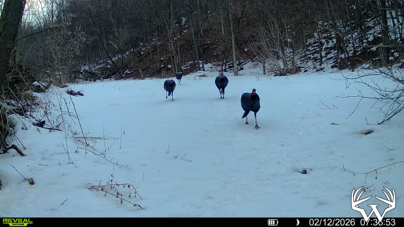
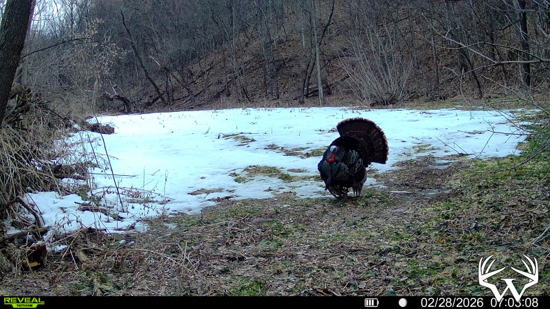
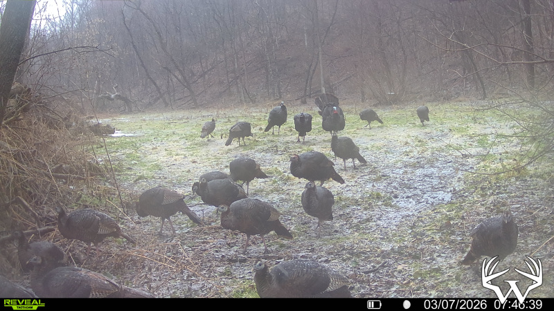
Hunting Land
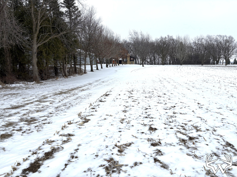
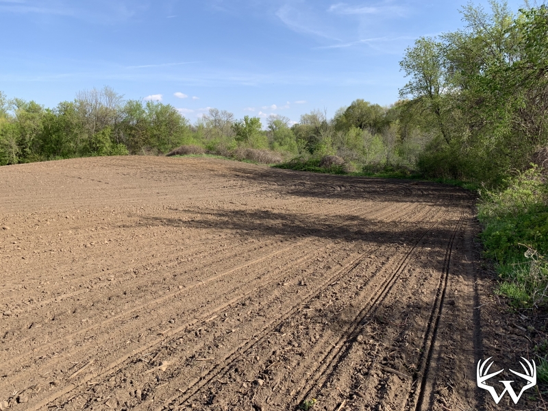
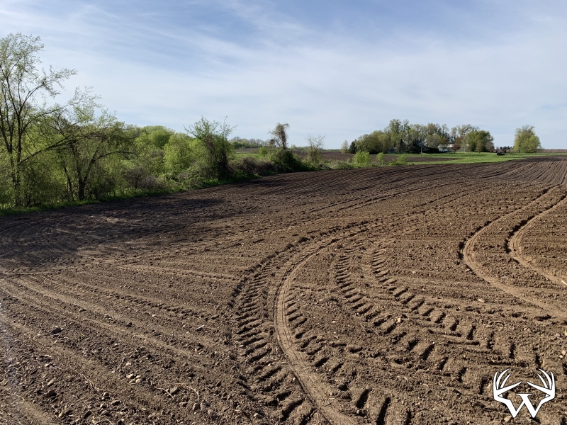
Acres:
69
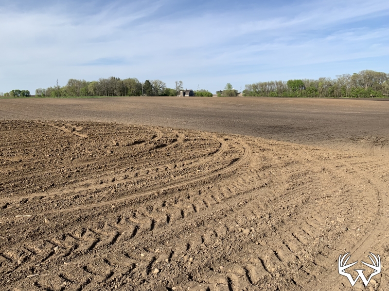
Tillable Acres:
2
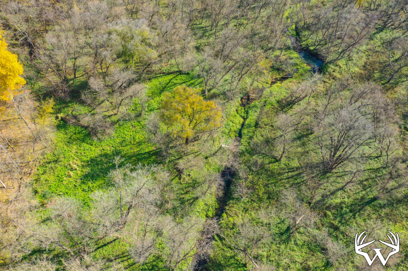
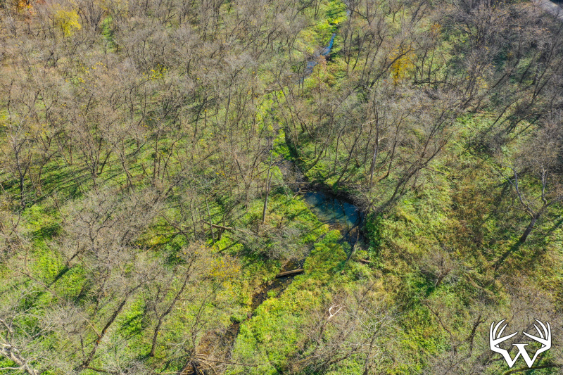
Wooded Acres:
67
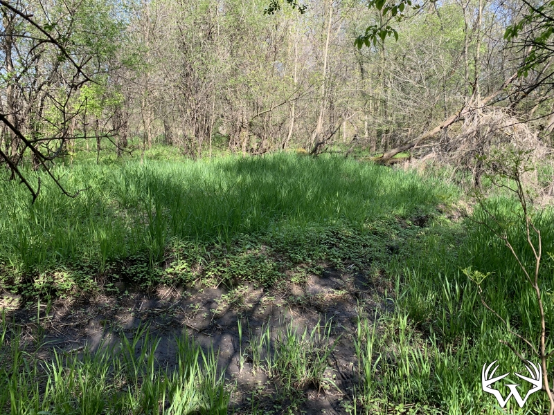
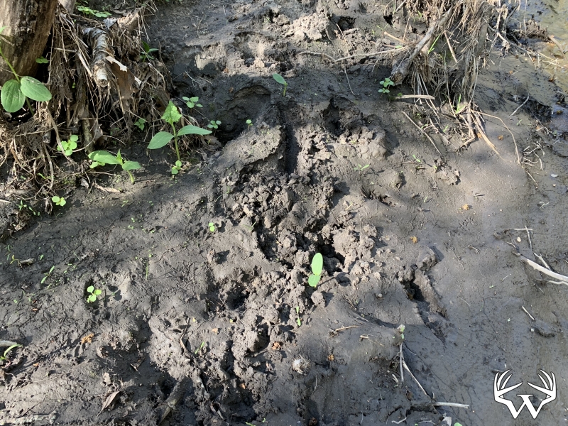
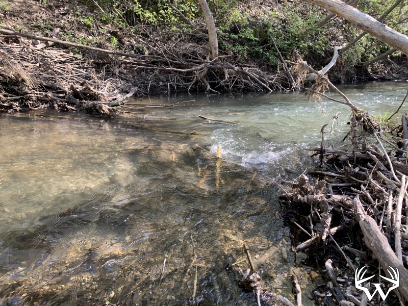
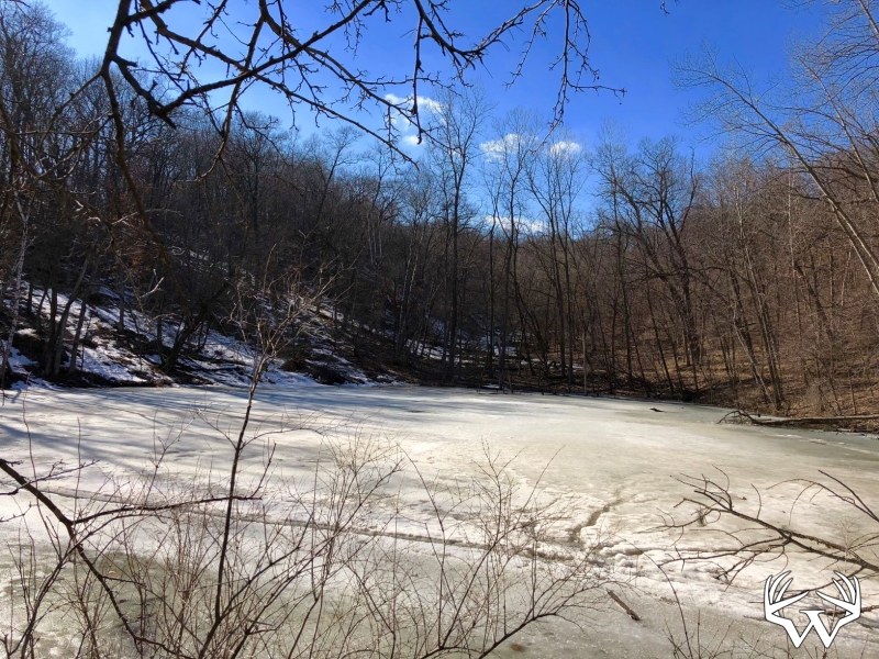
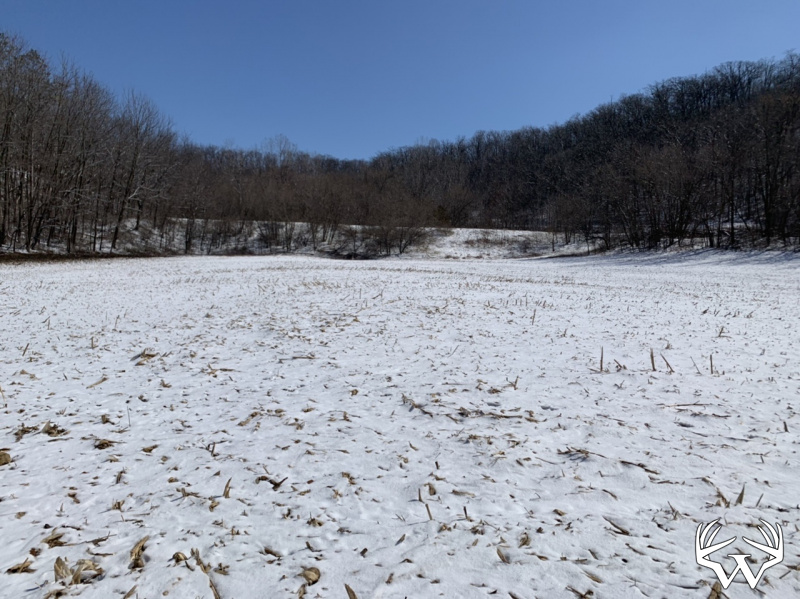
Waterfront:
Yes
Waterfront Type:
Creek
Waterfront Name:
Wildcat Creek
Cooperating Broker Compensation:
2%
TBD69 265th Ave, Plum City, WI
Contact Your
Weiss Realty Agent...
Weiss Realty Agent...

Owner, MN, WI & IA Broker
To receive additional information about this property, fill out the form below.