Hunting Land and Farms: Minnesota: Winona County
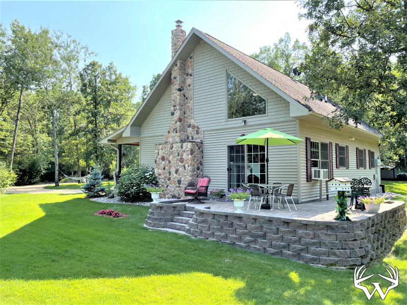
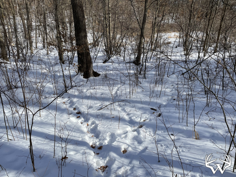
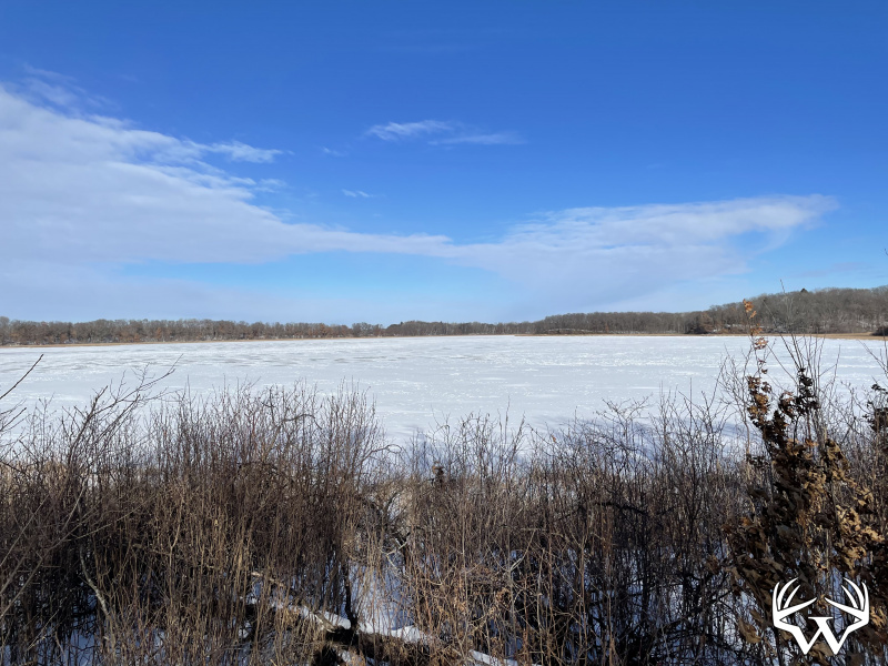
57 Acres Winona County - Sold!


Directions:
From Winona take County Rd 17 South to East Burns Valley Rd. Go South on E. Burns Valley Rd approximately 3.25 miles.Please respect landowners and do not trespass on property for viewing without permission.
Features:
List Price:
$415,000
MLS #
6824336
Status:
Sold
Property Type:
Hunting, Recreational, Sold
Zoning:
Agricultural
Address:
TBD57 East Burns Valley Rd
City/State:
Winona, MN
School District:
Winona
Township:
Winona
Sec/Twp/Rng:
S15/T106/R007
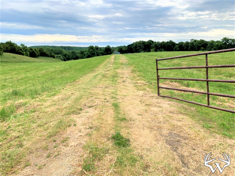
Road Access:
Public Hard Surface
Taxes:
$1,344
Tax Year:
2025
Lot Size:
Irregular
Water:
None
Sewer:
None
Land Type:
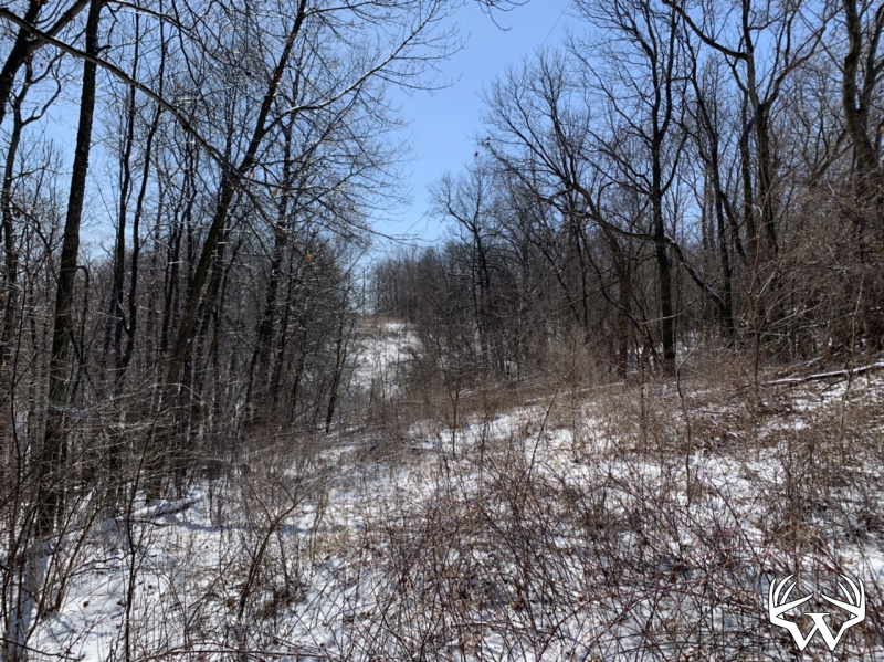
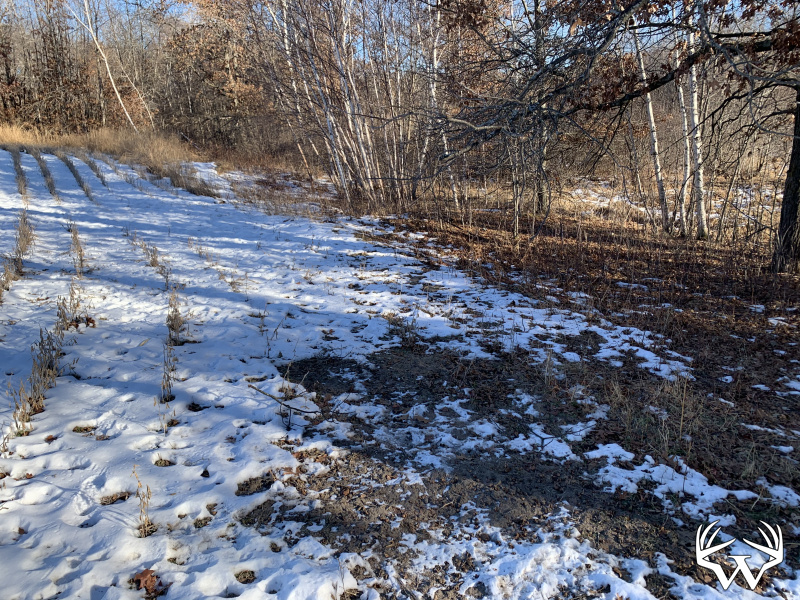
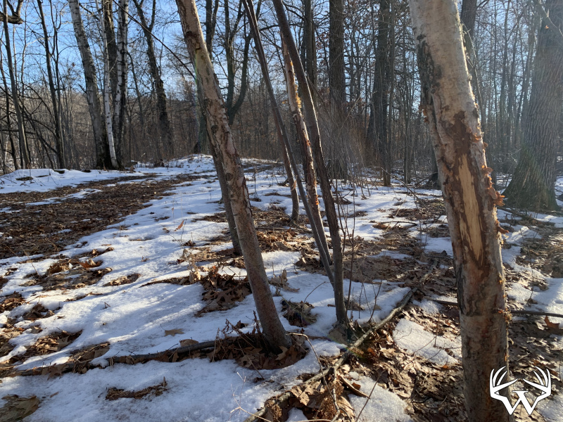
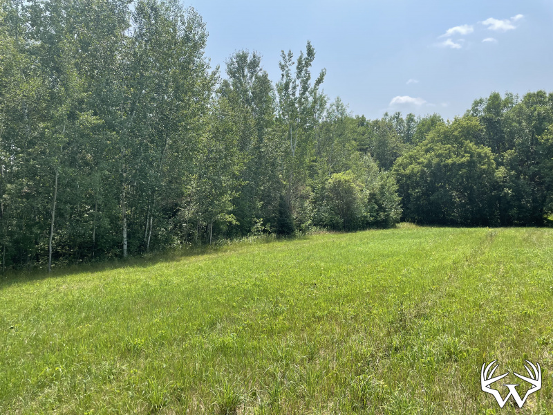
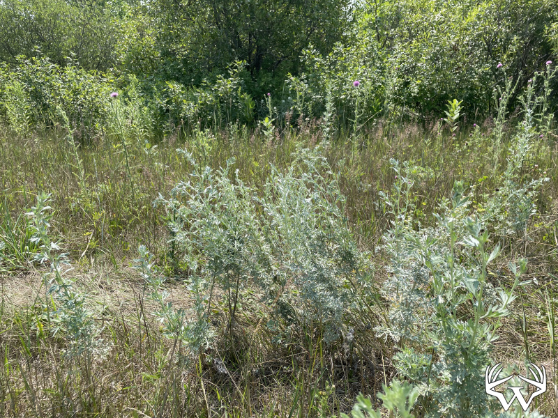
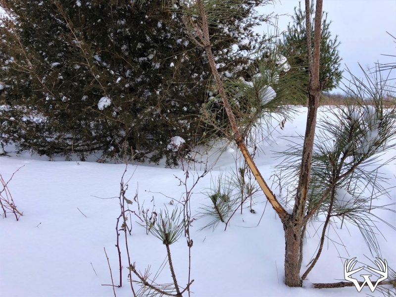
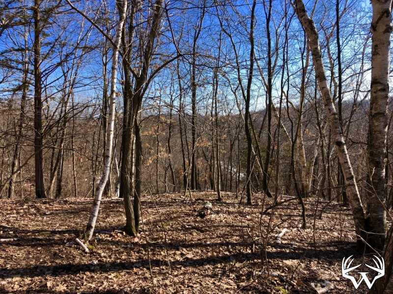
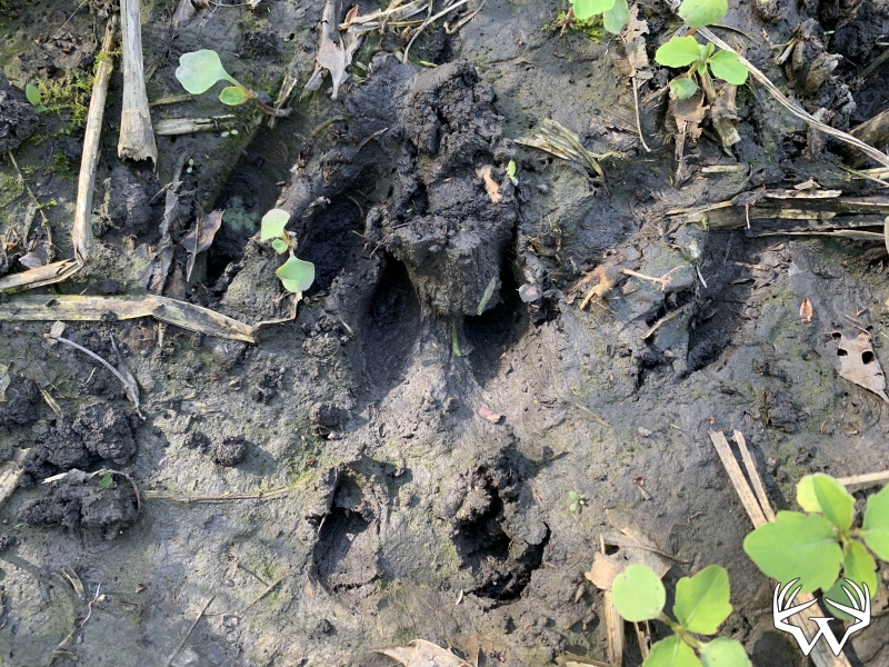
Hunting Land
Acres:
57.56
Wooded Acres:
57
Waterfront:
No
Cooperating Broker Compensation:
2%
TBD57 East Burns Valley Rd, Winona, MN
Contact Your
Weiss Realty Agent...
Weiss Realty Agent...

Owner, MN & WI Broker
To receive additional information about this property, fill out the form below.