Hunting Land and Farms: Minnesota: Winona County
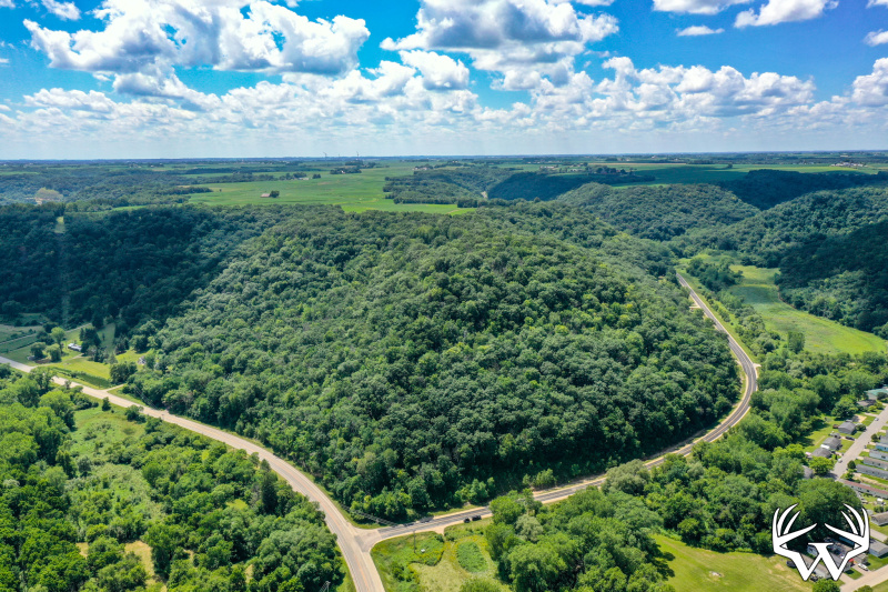
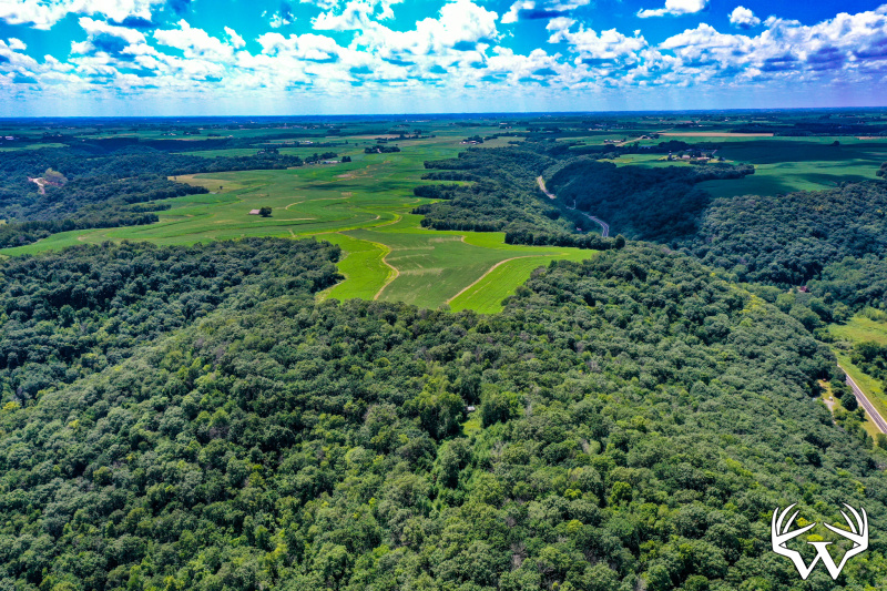
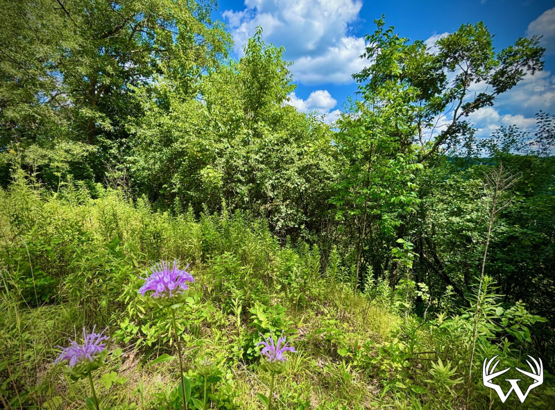
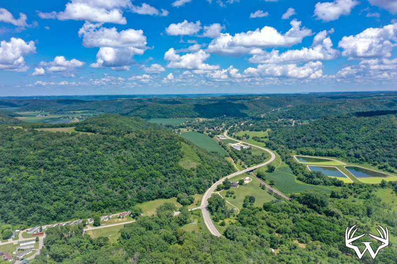
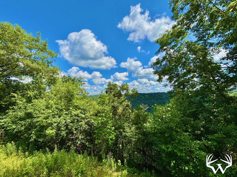
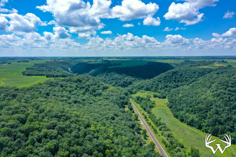
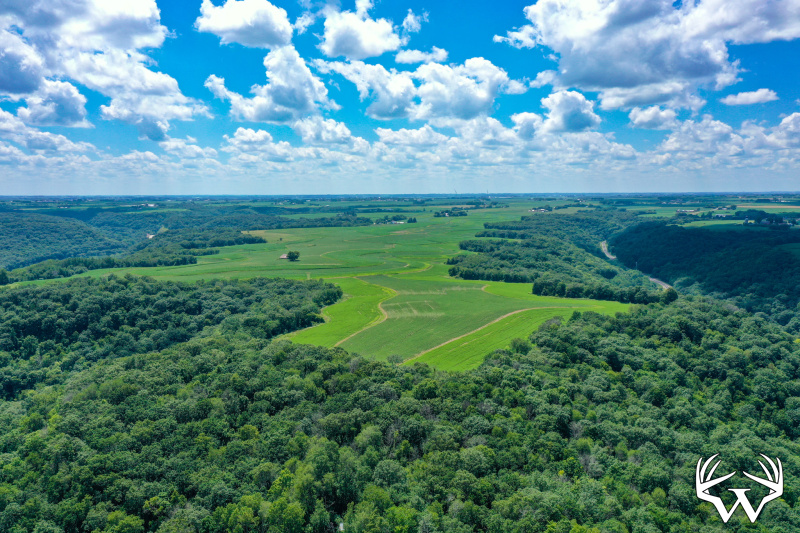
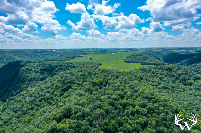
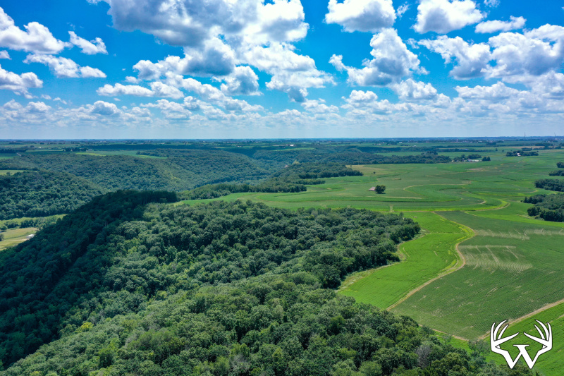
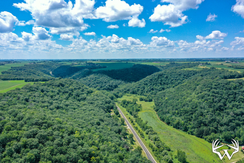
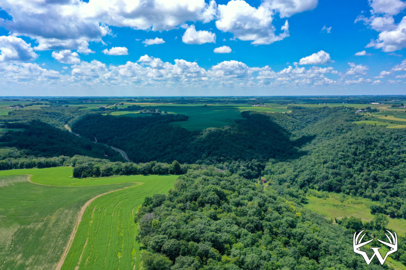
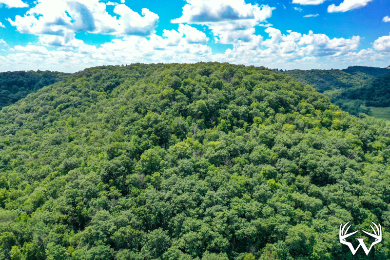
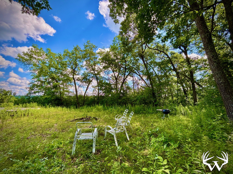
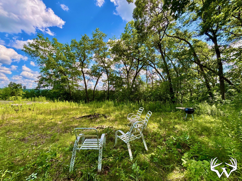
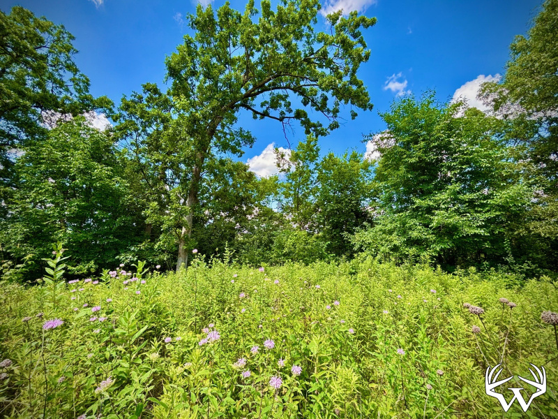
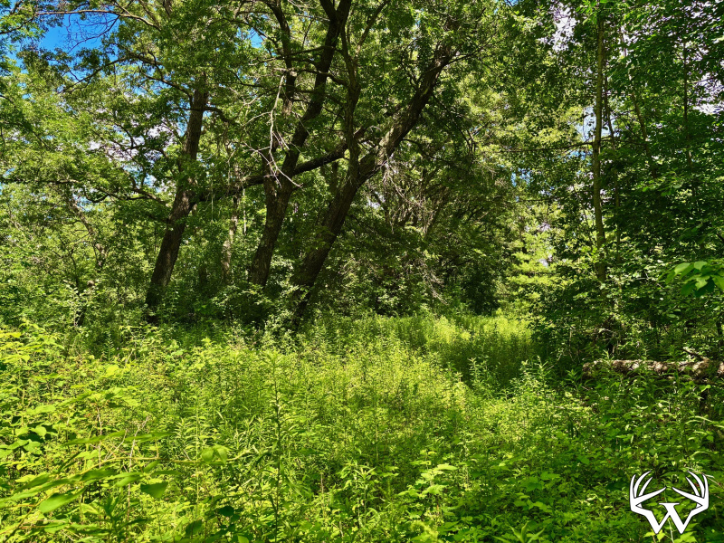
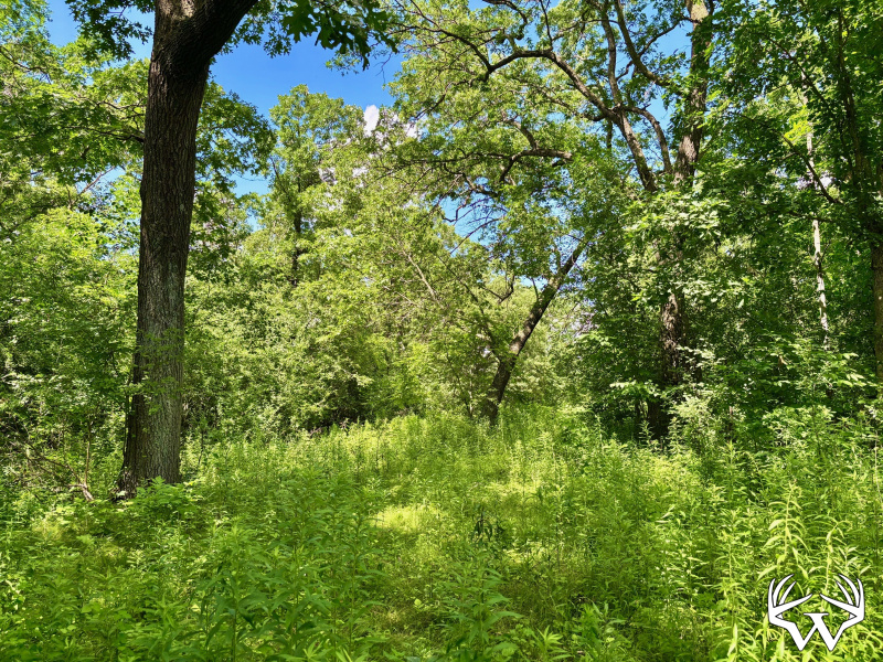
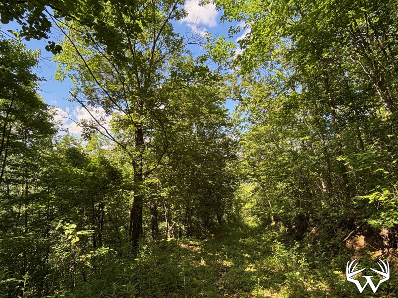
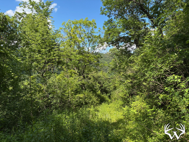
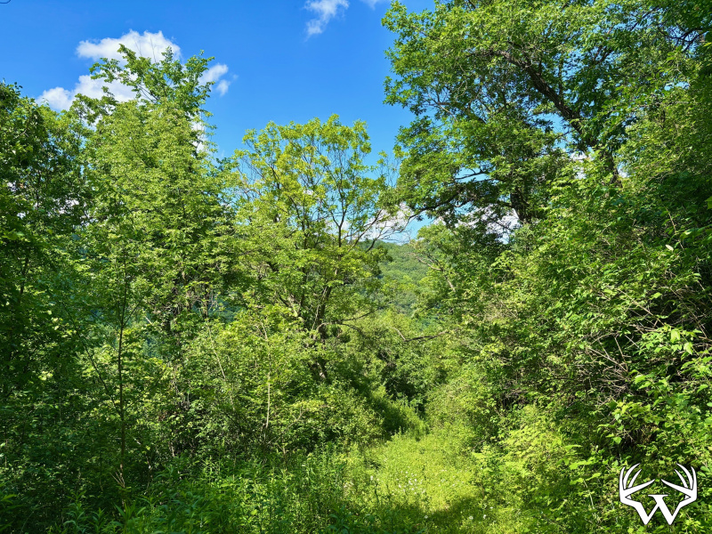
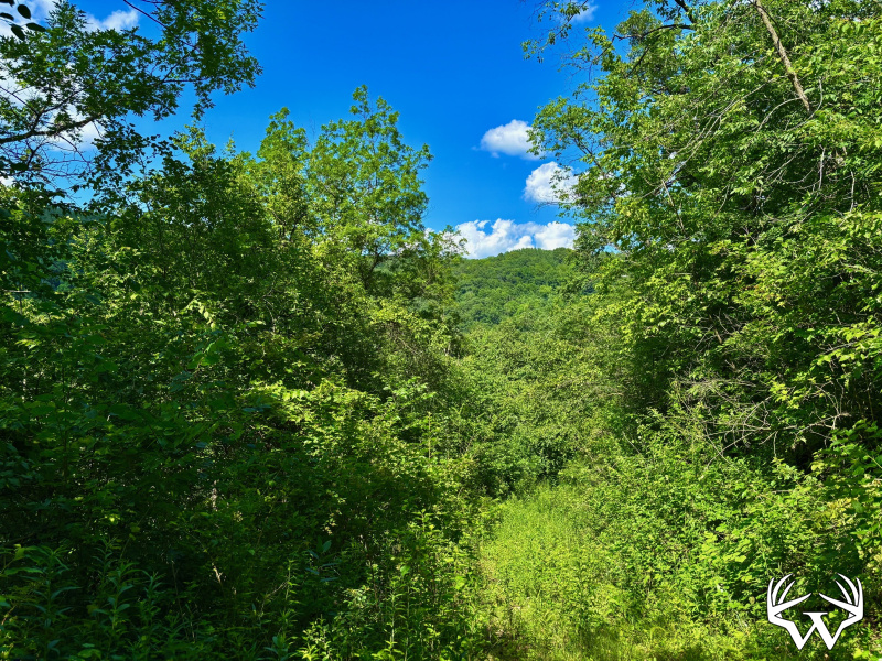
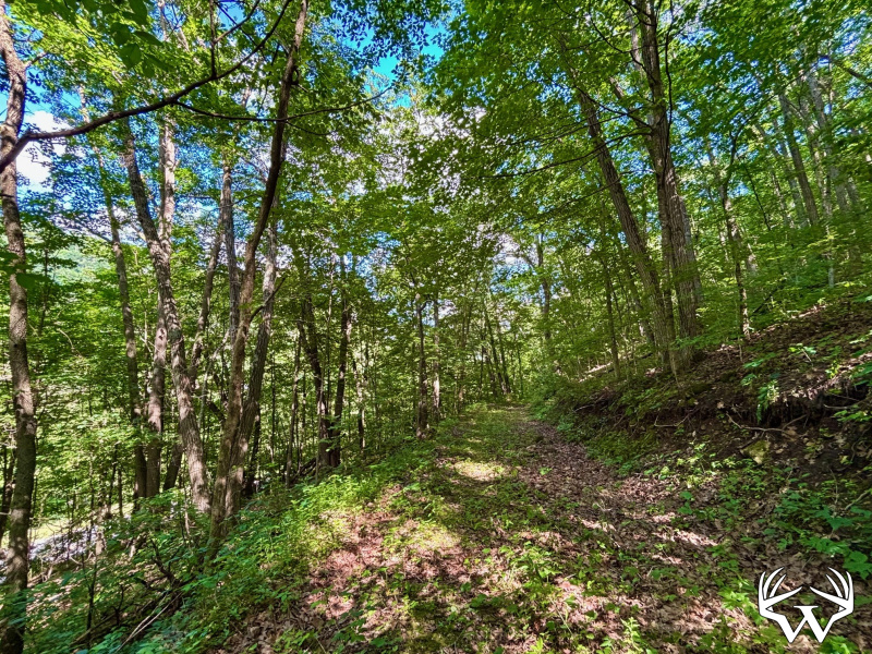
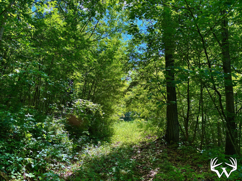
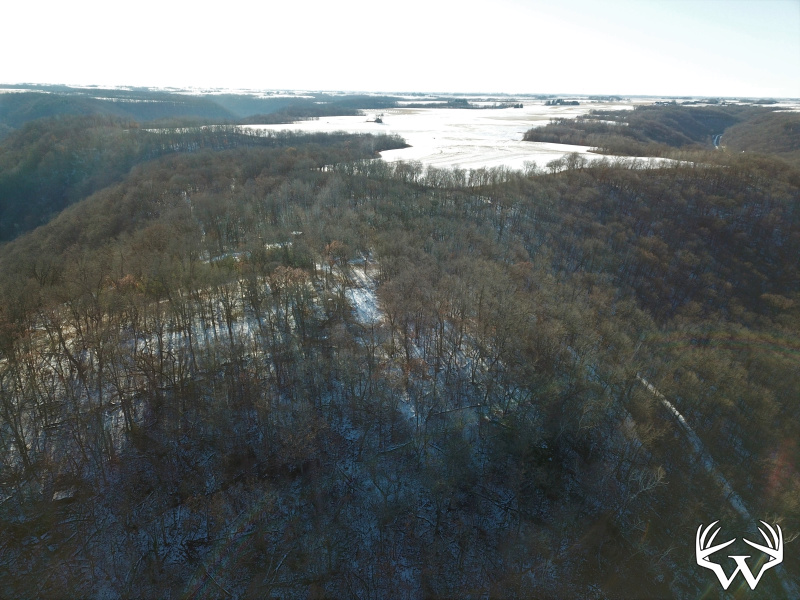
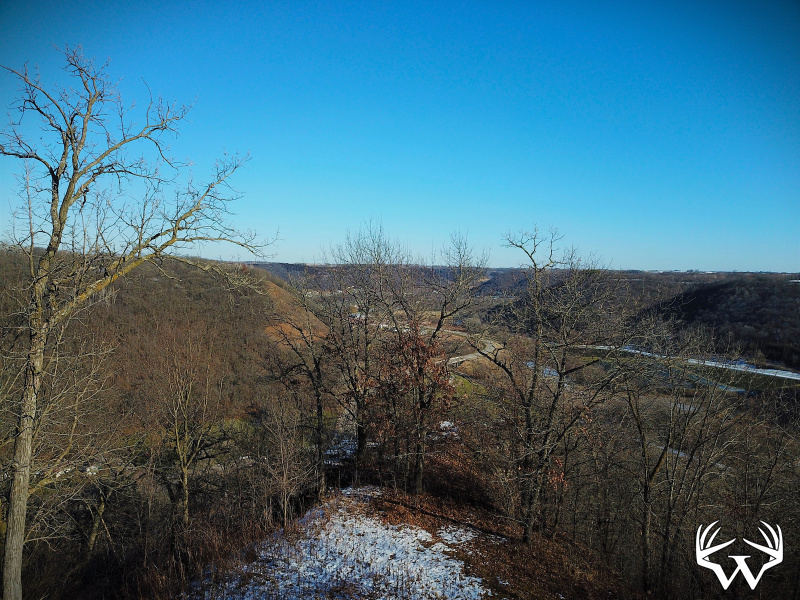
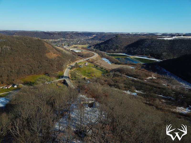
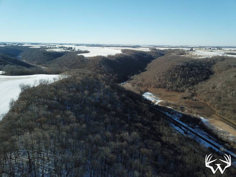
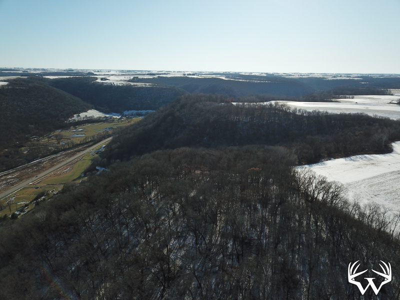
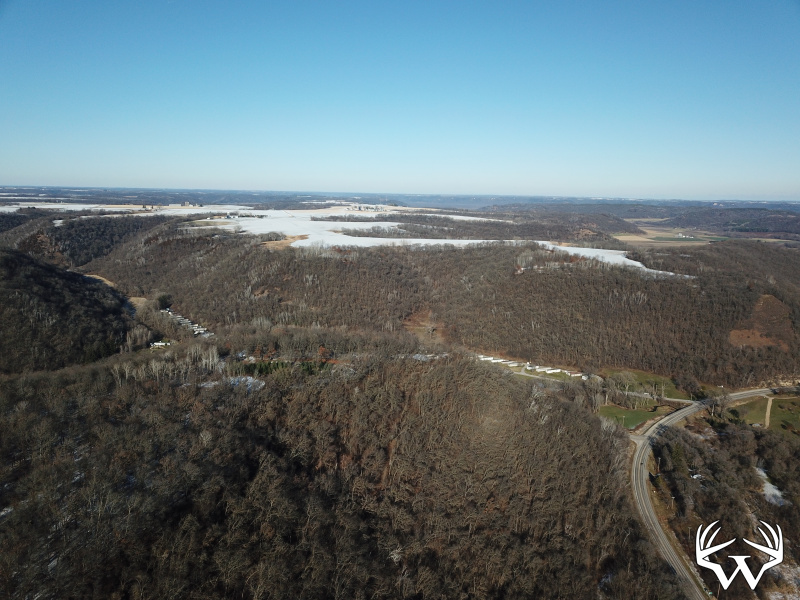
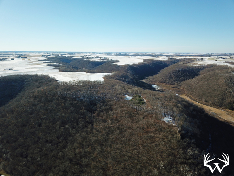
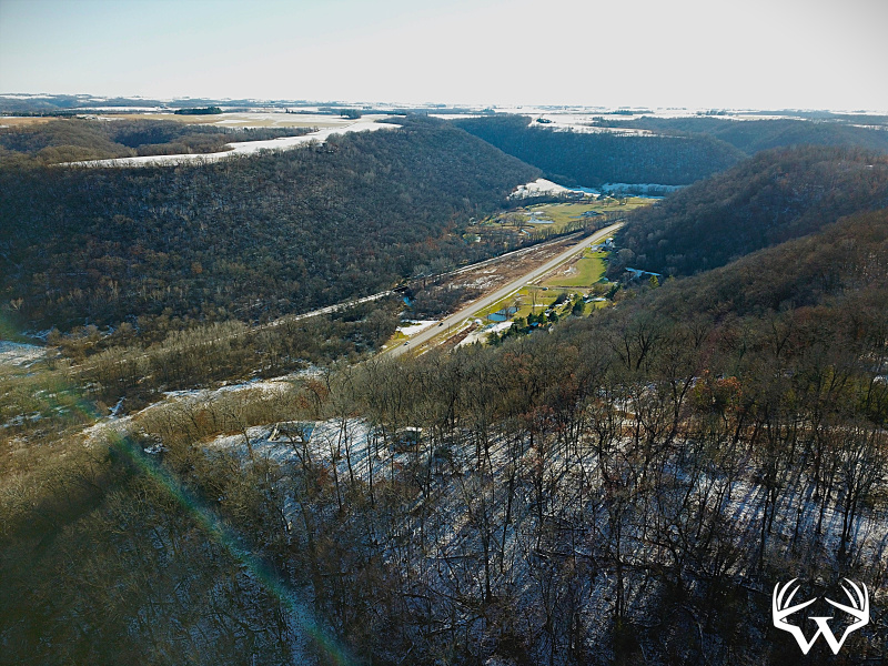
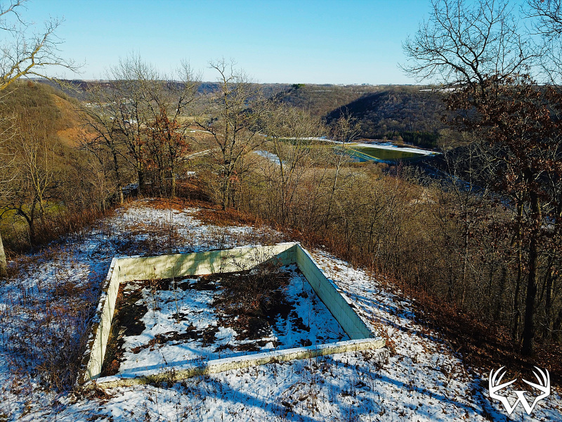
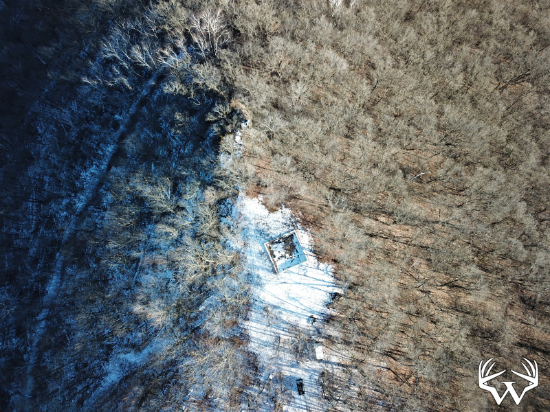
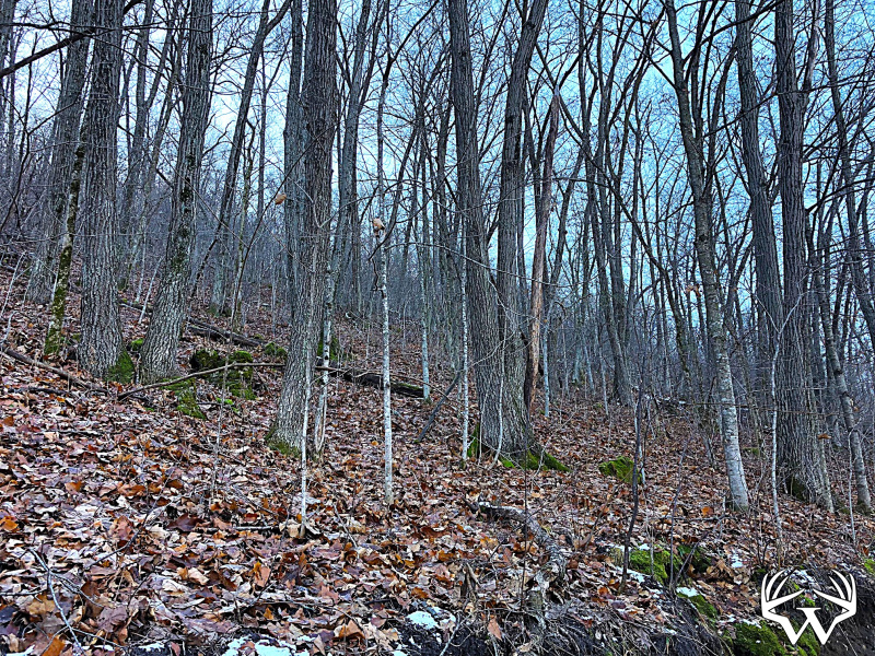
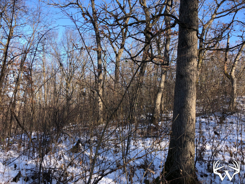
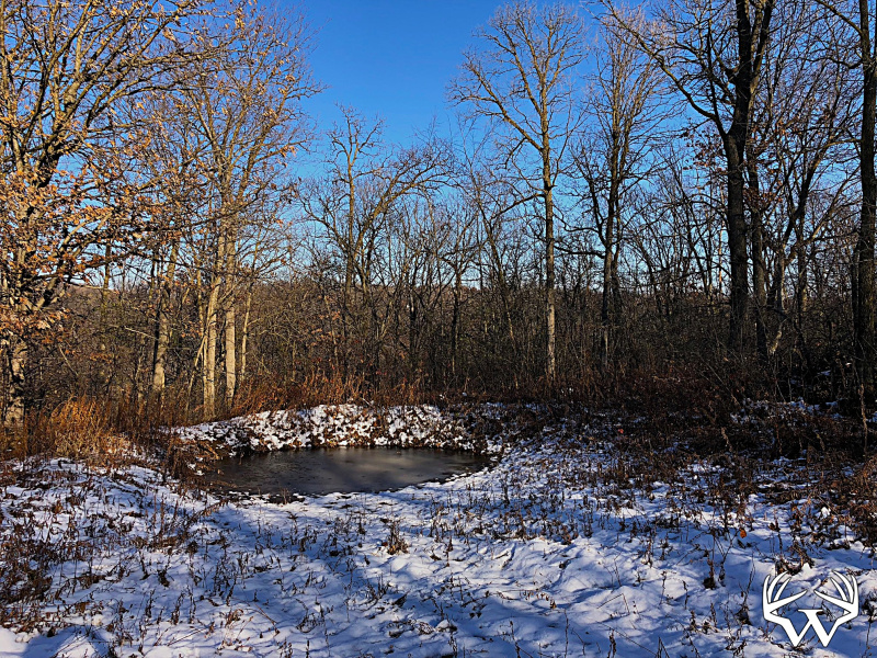
23 Acres Winona County - Sold!
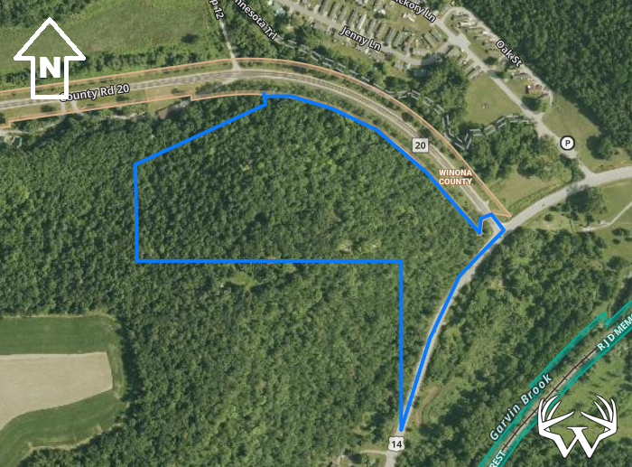

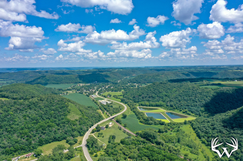


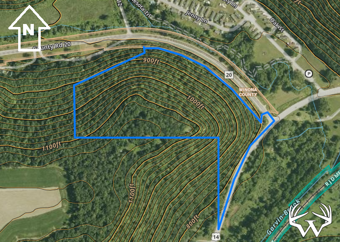
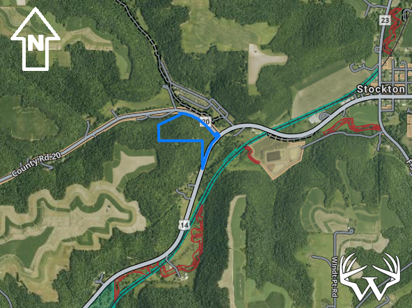
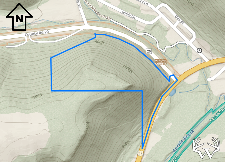
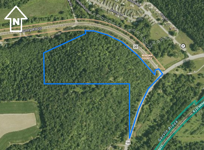
Directions:
From Winona take Hwy 14 West 6.5 miles. Then North on County 20 100 ft. From Rochester take Hwy 14 East 34 miles. Then North on County 20 100 ft.Please respect landowners and do not trespass on property for viewing without permission.
Features:
List Price:
$172,500
MLS #
6754499
Status:
Sold
Property Type:
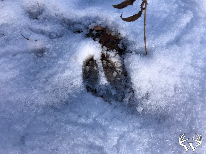
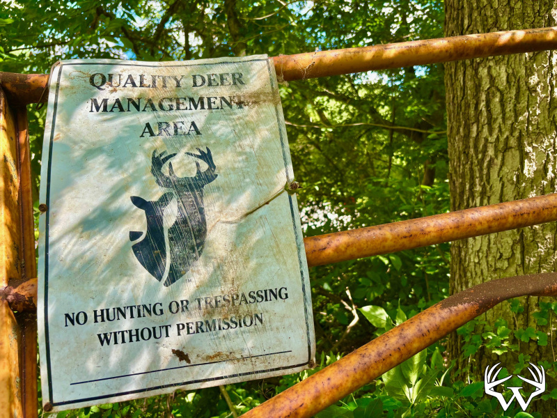
Hunting, Recreational, Sold
Zoning:
Agricultural
Address:
XX23 County Rd 20
City/State:
Winona, MN
School District:
Winona
Township:
Hillsdale
Sec/Twp/Rng:
S33/T107/R08
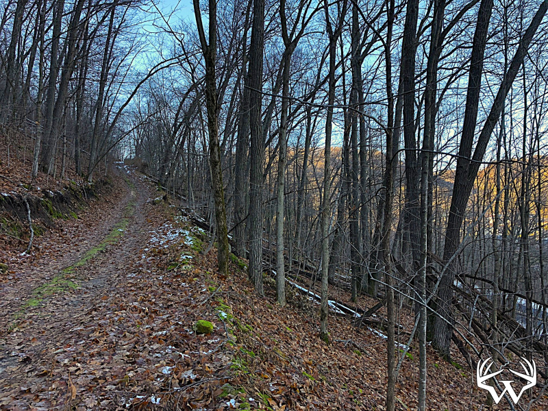
Road Access:
Public Hard Surface
Taxes:
$1,218
Tax Year:
2025
Lot Size:
Irregular
Electricity:
At Street
Water:
None
Sewer:
None
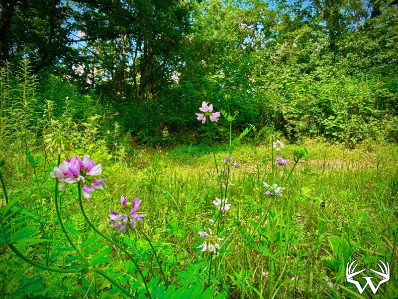
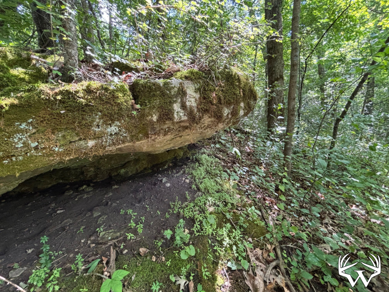
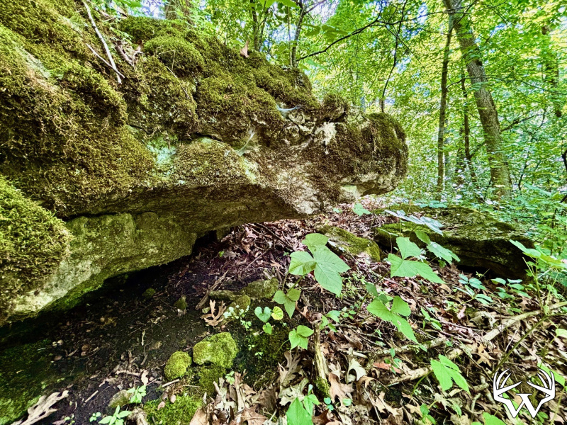
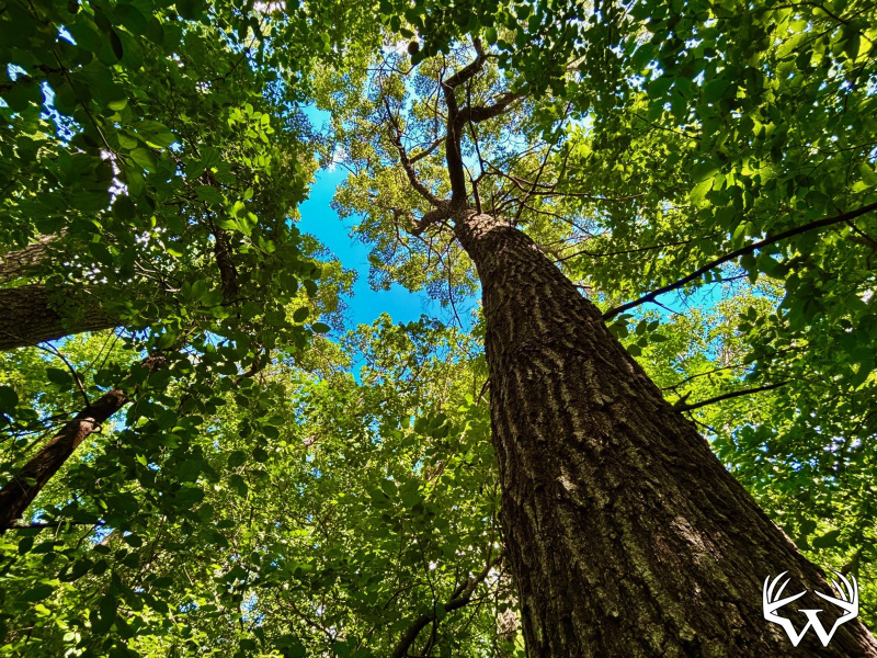
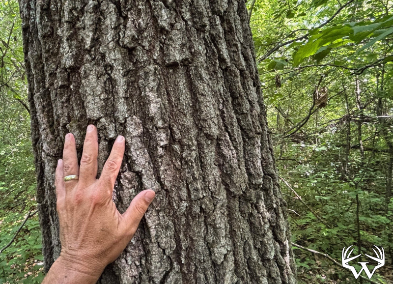
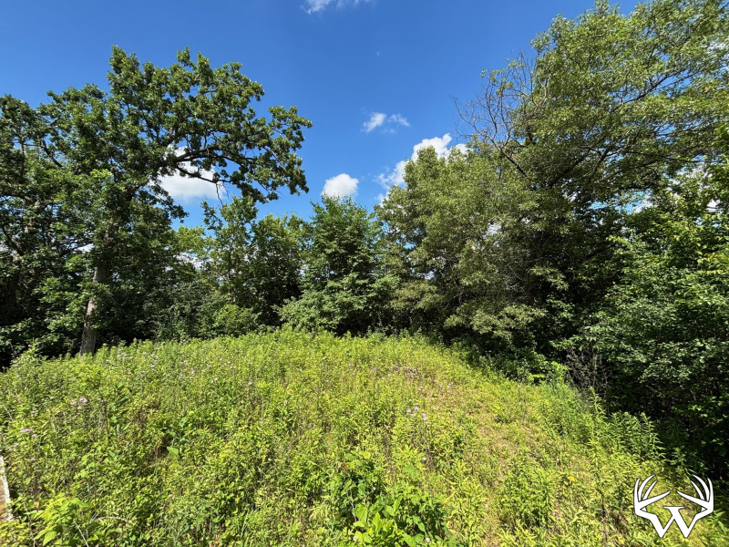
Land Type:
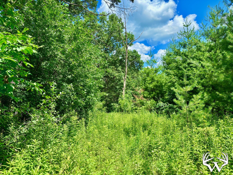
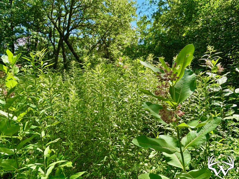
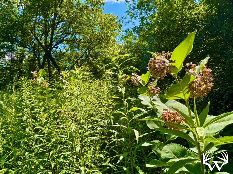
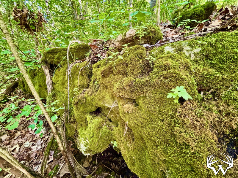
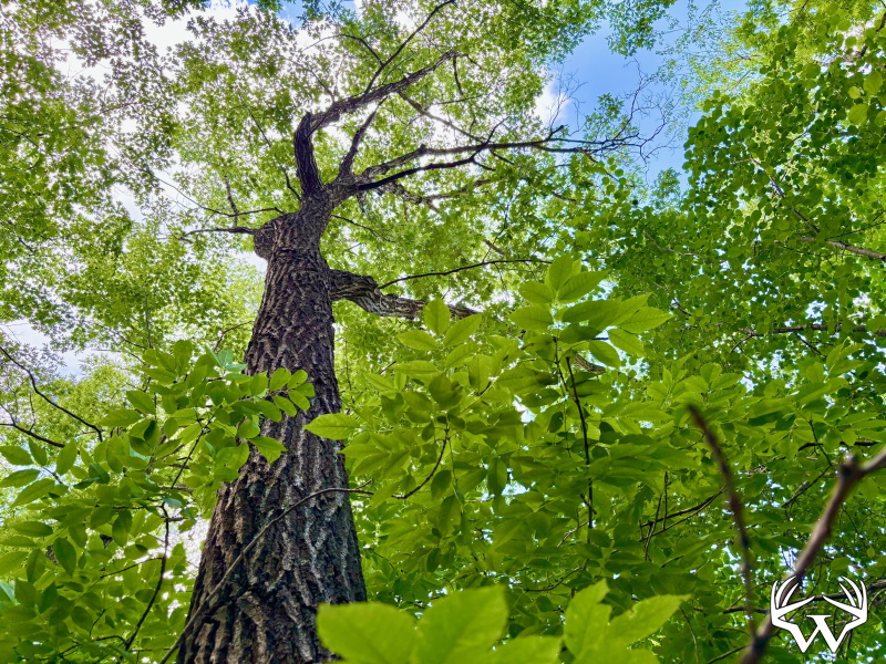
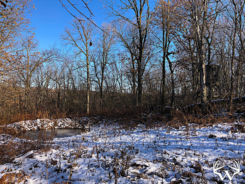
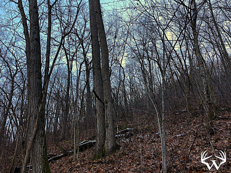
Acreage
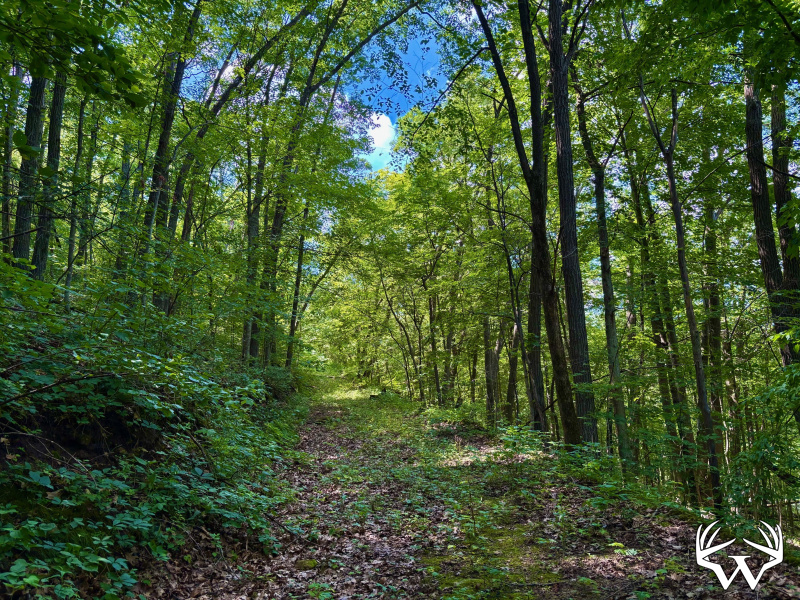
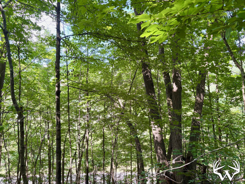
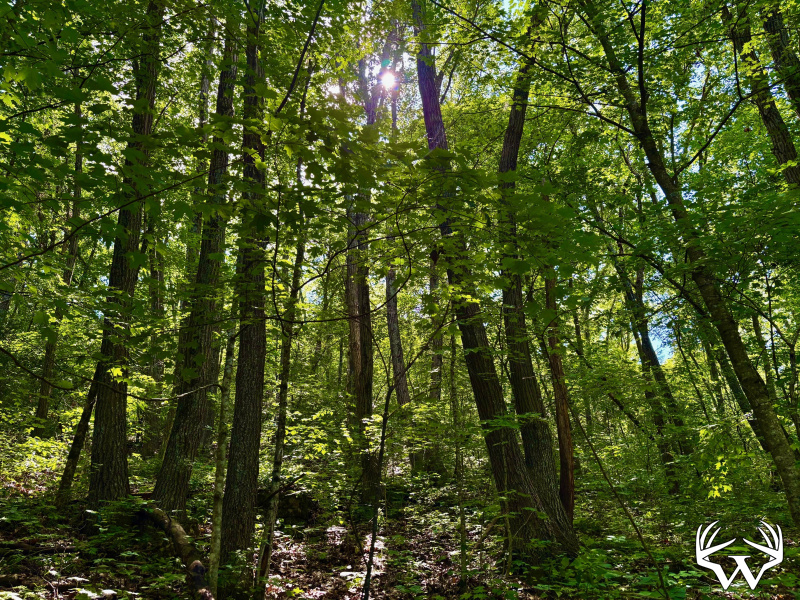
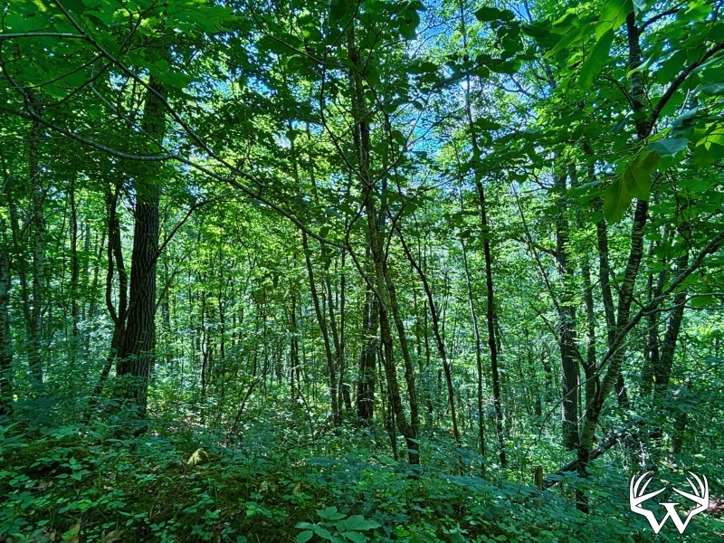
Acres:
23.2
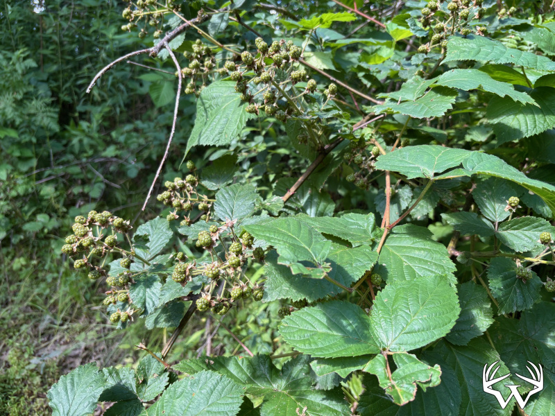
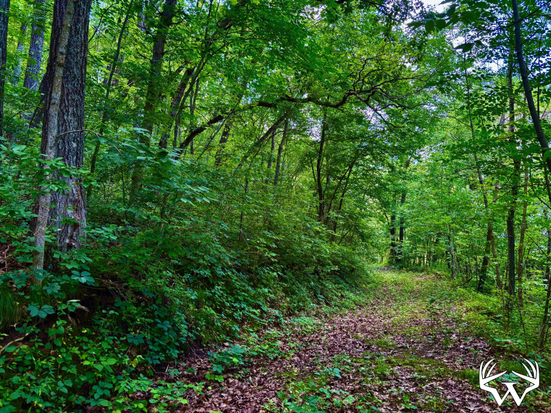
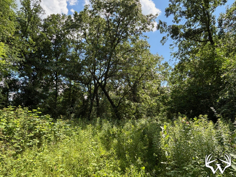
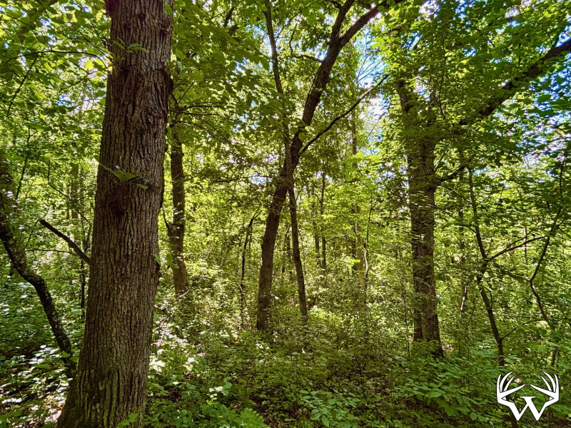
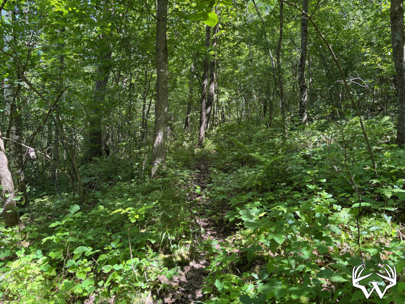
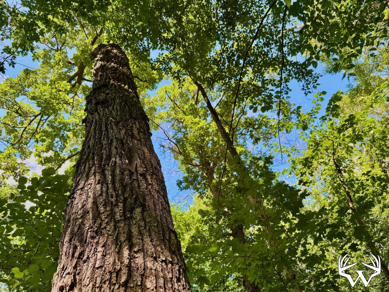
Wooded Acres:
23
Waterfront:
No
Cooperating Broker Compensation:
2%
XX23 County Rd 20 , Winona, MN
Contact Your
Weiss Realty Agent...
Weiss Realty Agent...

Owner, MN, WI & IA Broker
To receive additional information about this property, fill out the form below.