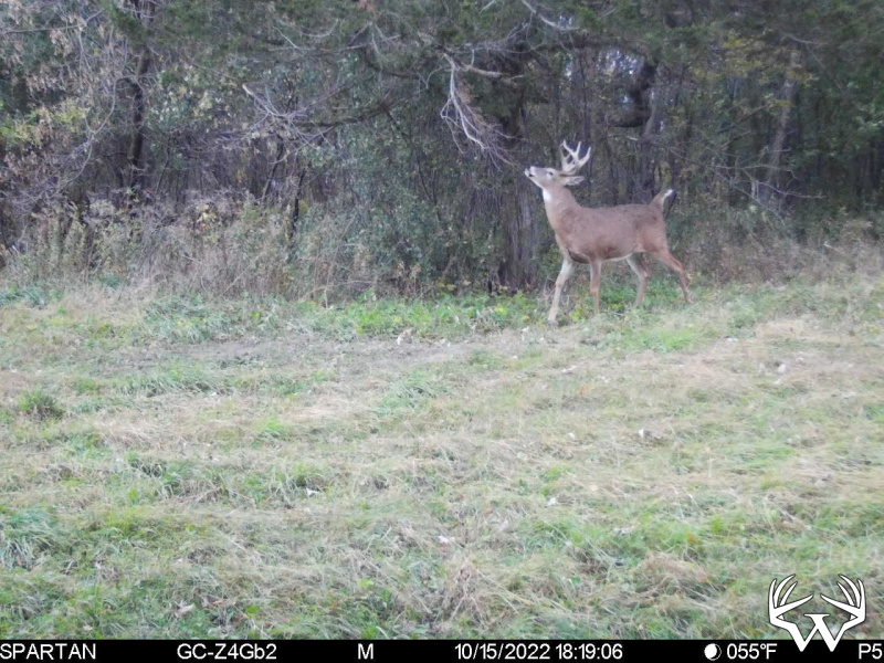
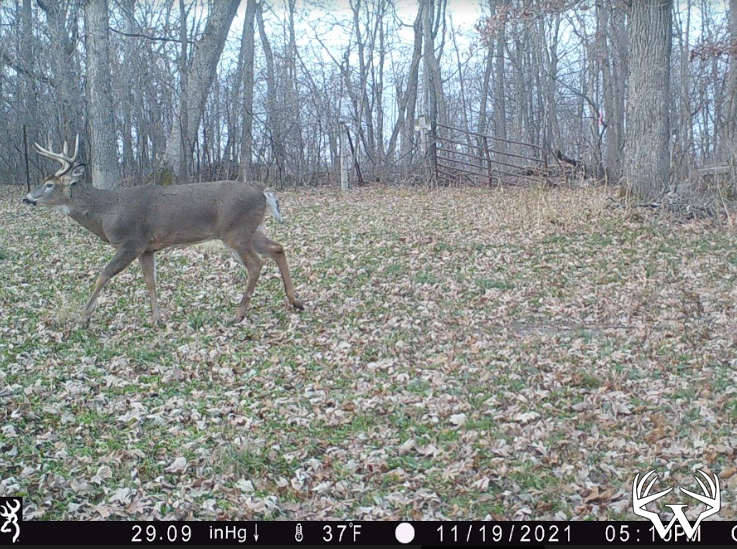
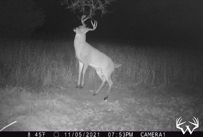
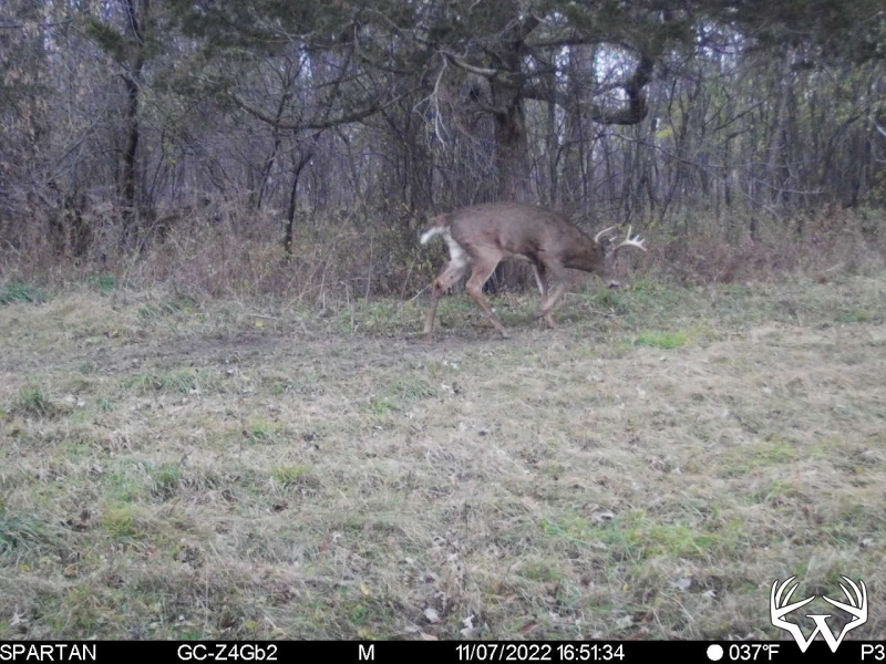
Hunting Land and Farms: Minnesota: Fillmore County
200 Acres Fillmore County - SOLD!


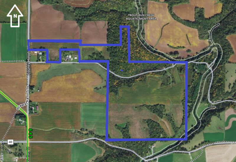
Directions:
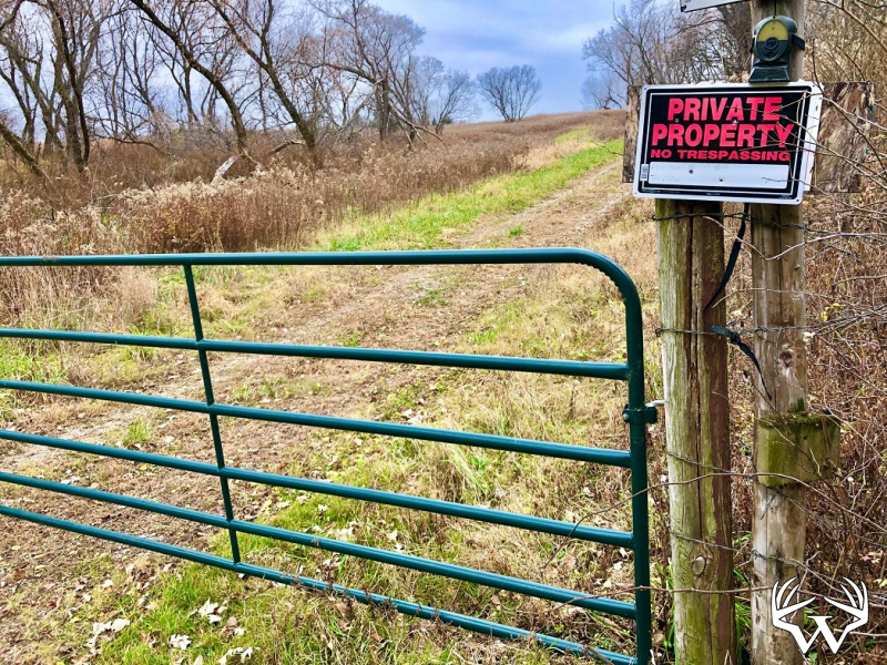
Front Chatfield take Hwy 30 East to County 11 North then East on Guflint Road 3/4 mile.Please respect landowners and do not trespass on property for viewing without permission.
Features:
List Price:
$1,350,000
MLS #
6310435
Status:
Sold
Property Type:
Farm, Sold
Zoning:
Agricultural
Address:
TBD 200 Gunflint Road
City/State:
Chatfield, MN
School District:
Chatfield
Township:
Pilot Mounds
Sec/Twp/Rng:
S5/T104/R10
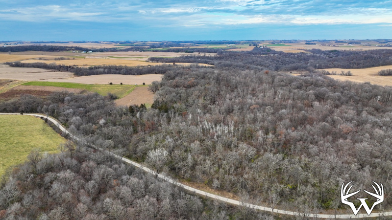
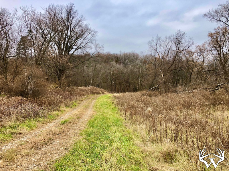
Road Access:
Township
Taxes:
$4,124
Tax Year:
2022
Water:
Well
Sewer:
None
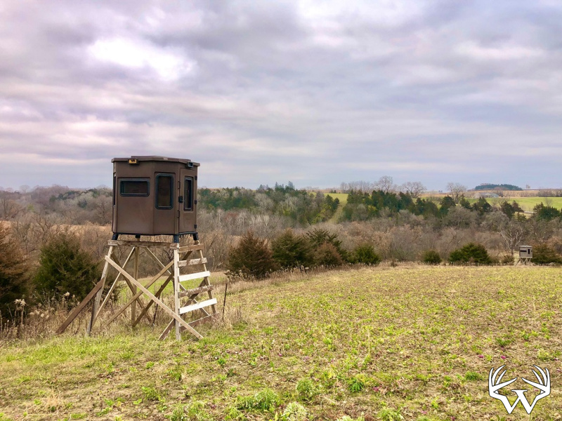
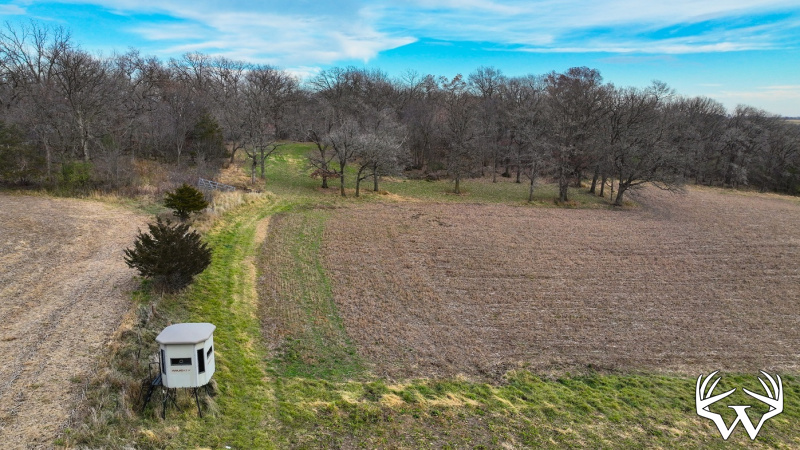
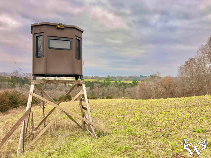
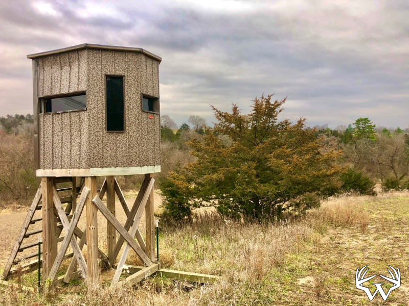
Outbuildings:
No
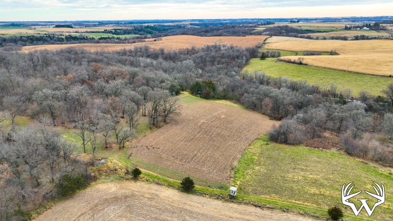
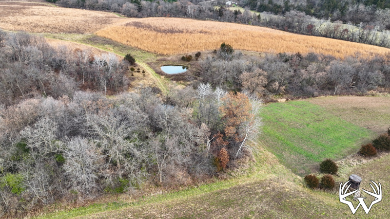
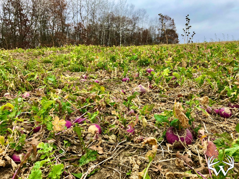
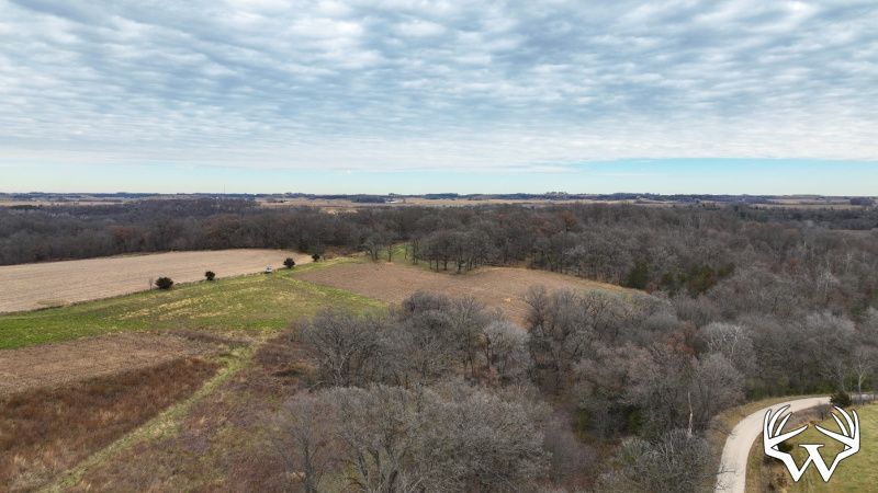
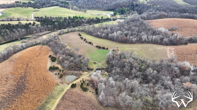
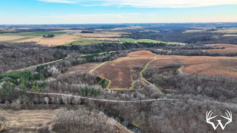
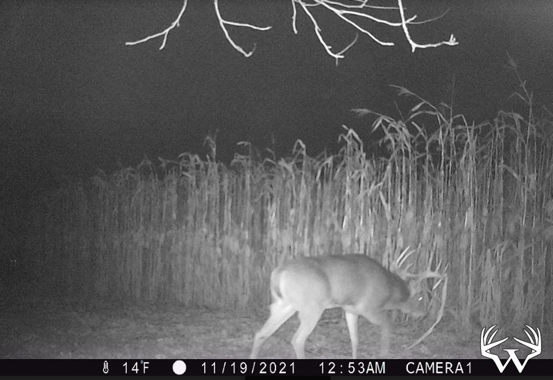
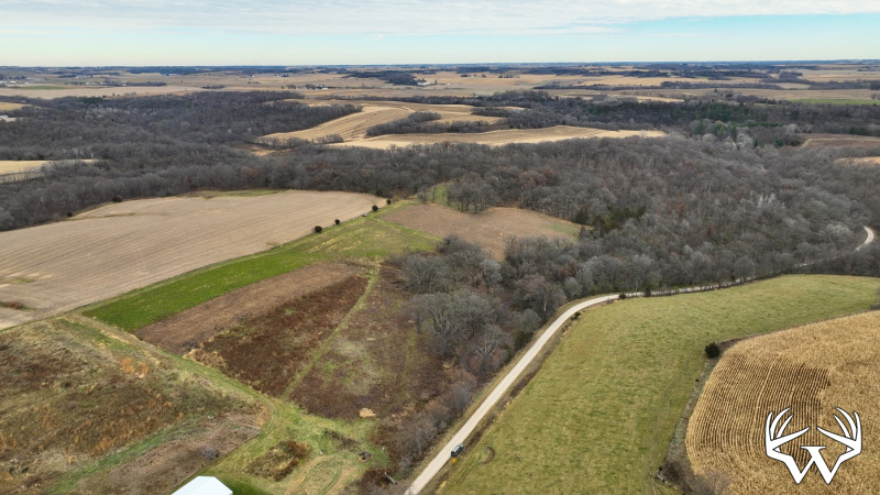
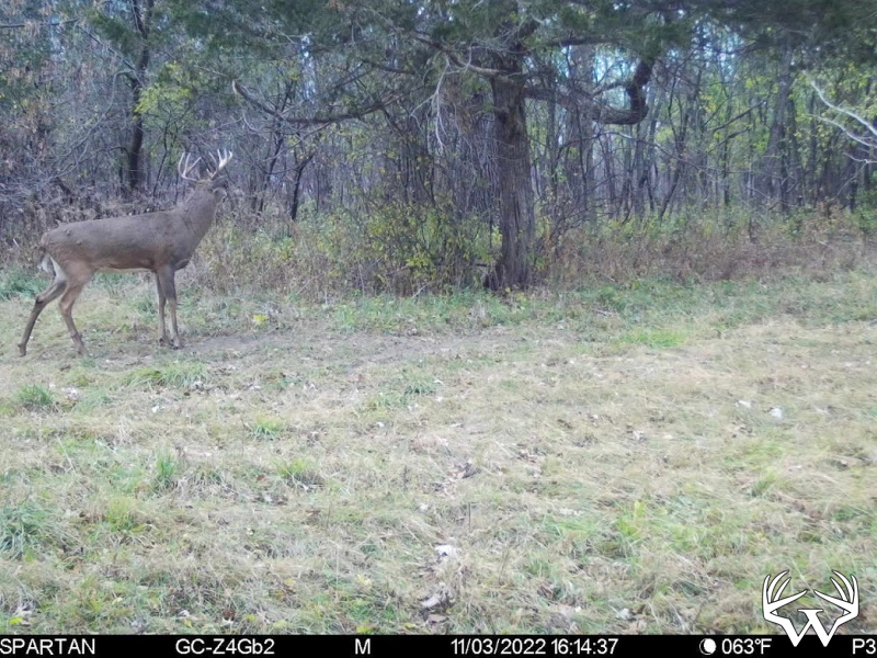
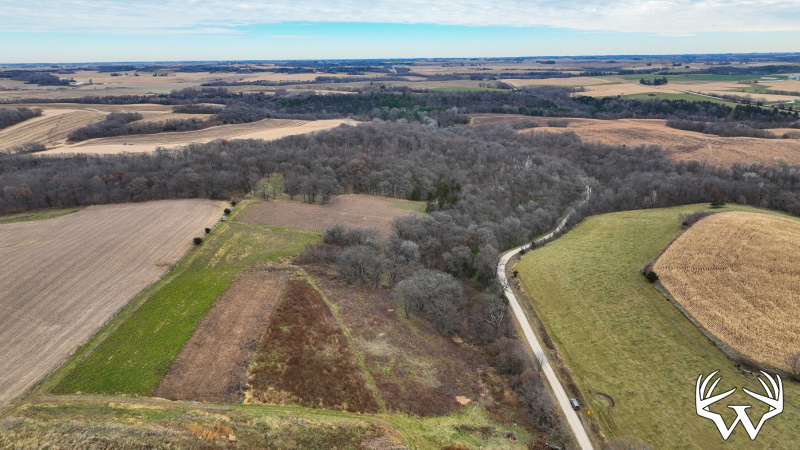
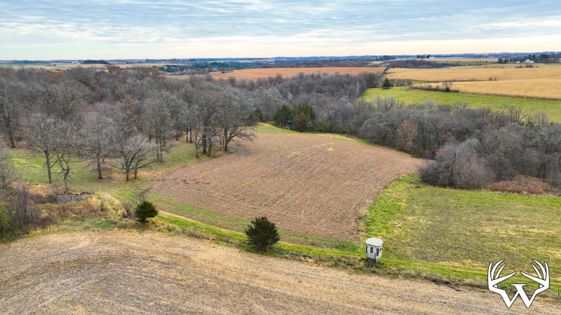
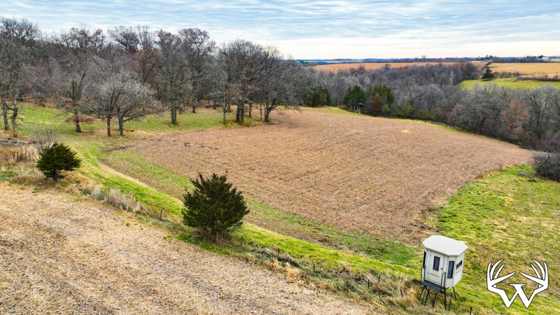
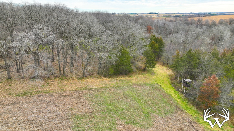
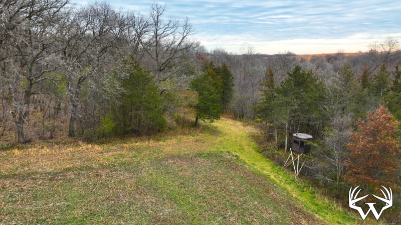
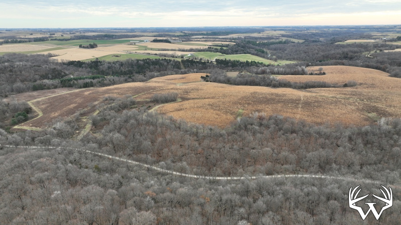
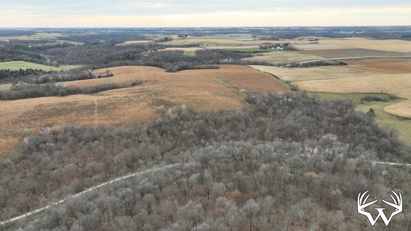
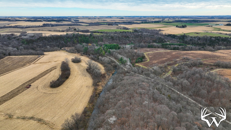
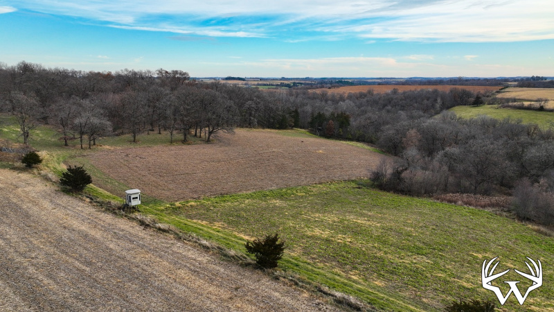
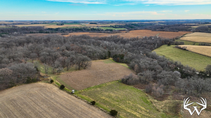
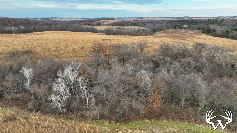
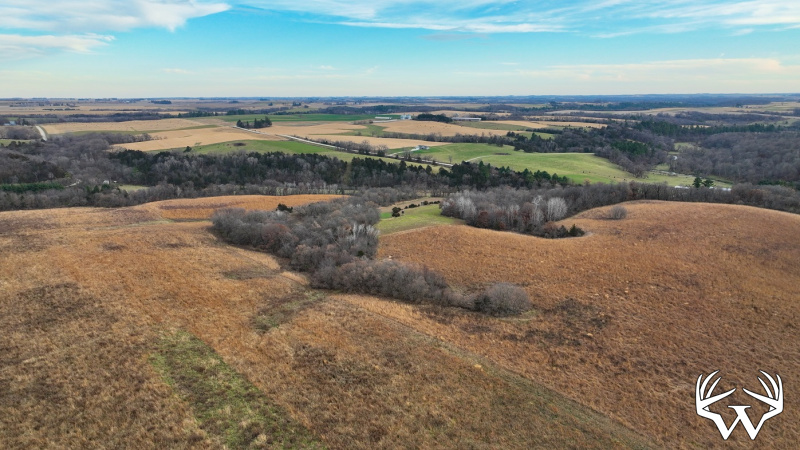
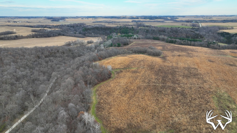
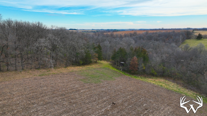
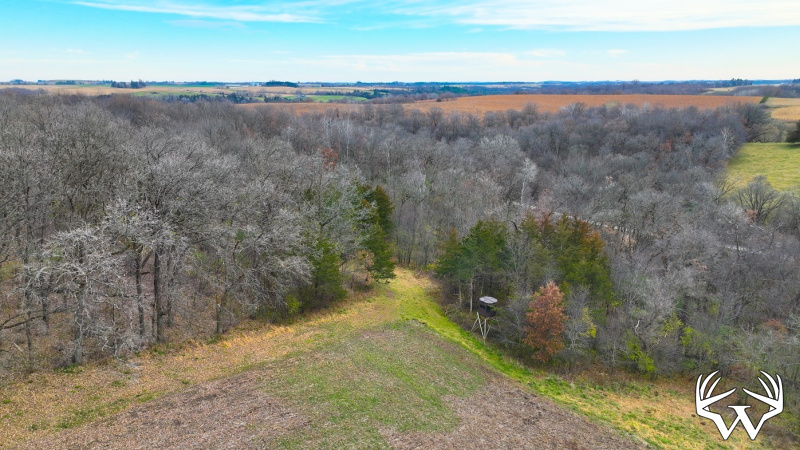
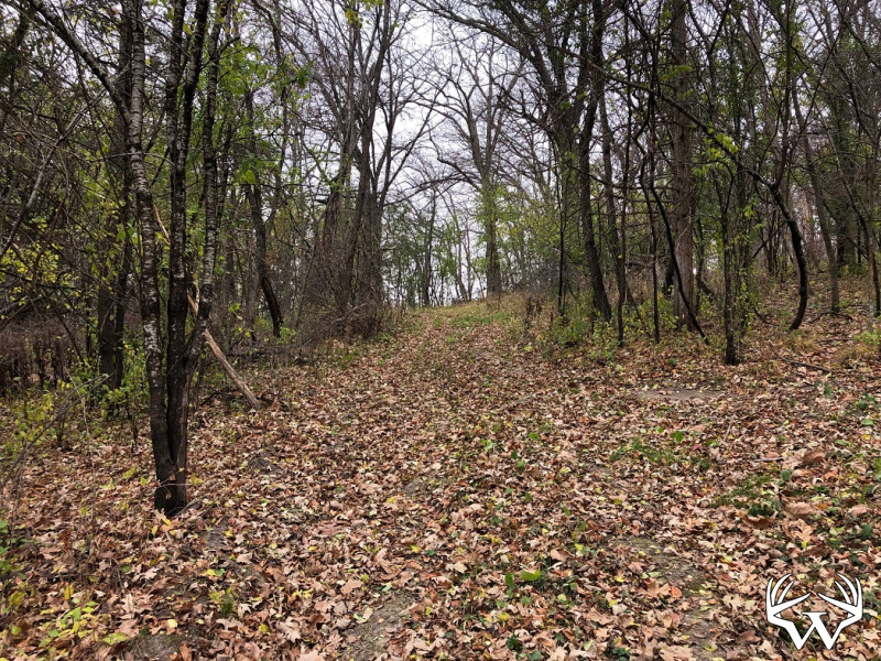
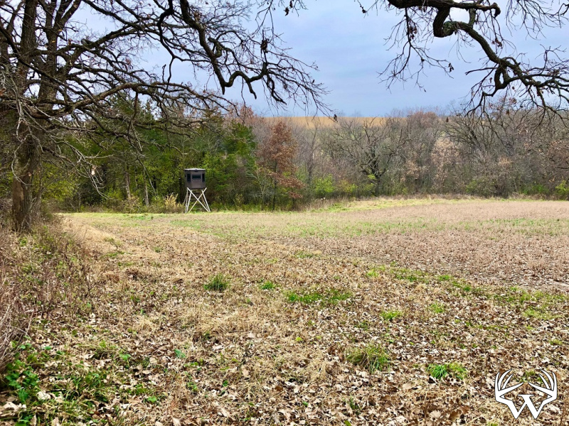
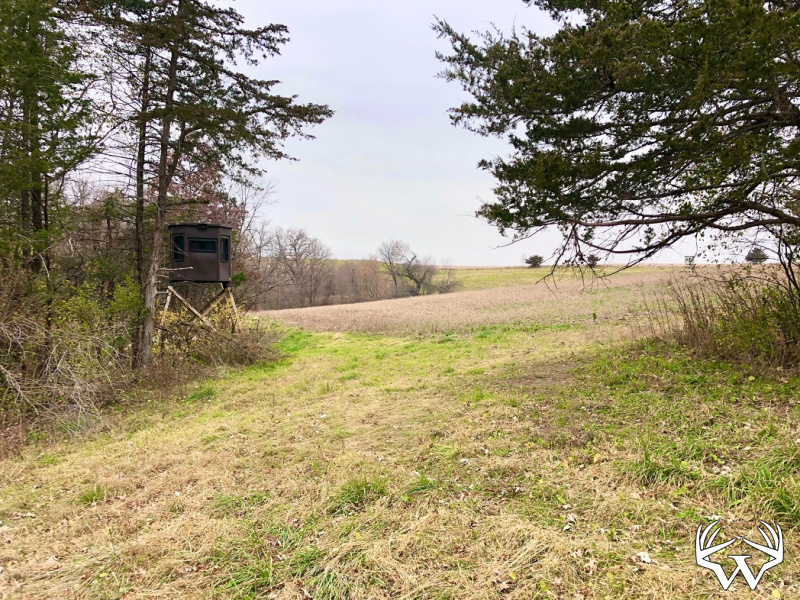
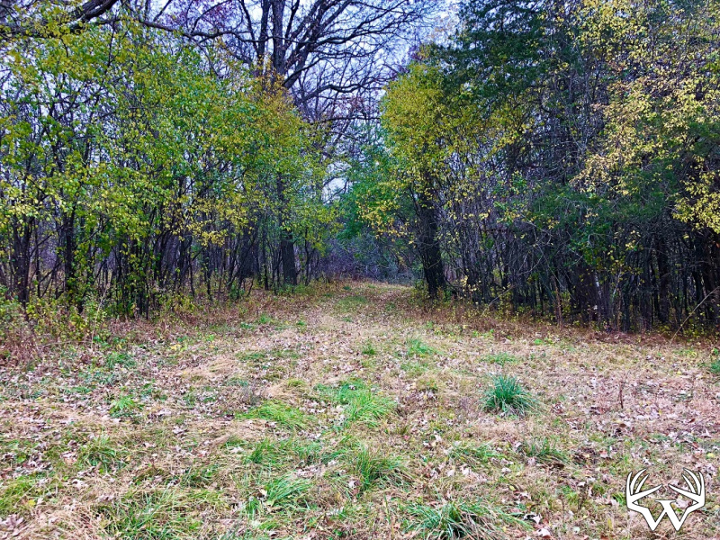
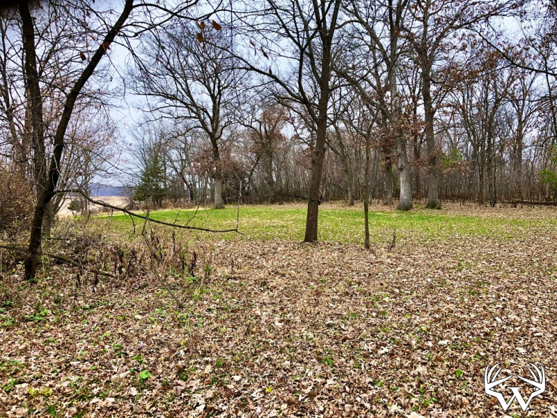
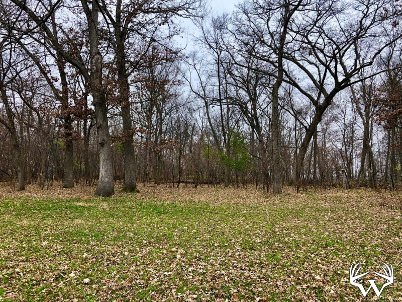
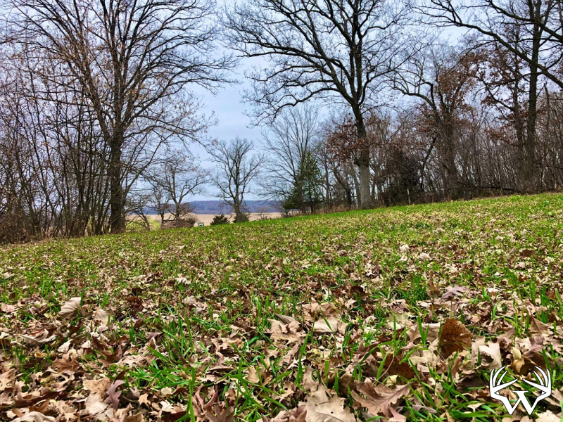
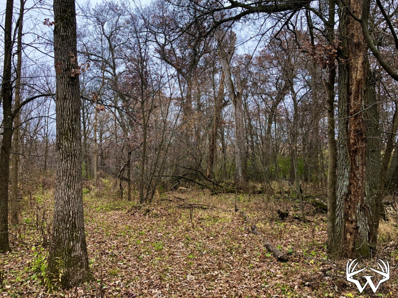
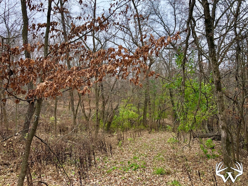
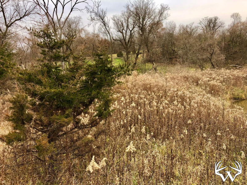
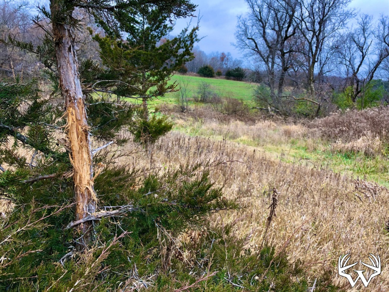
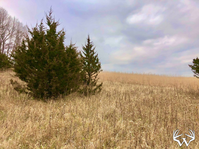
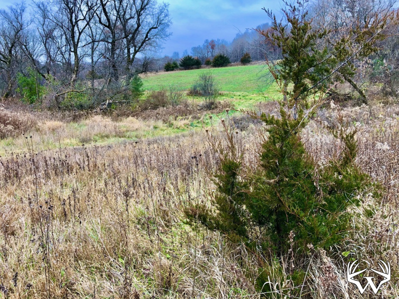
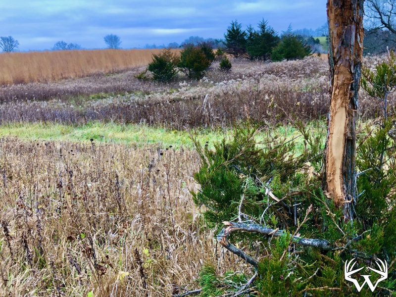
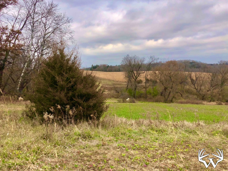
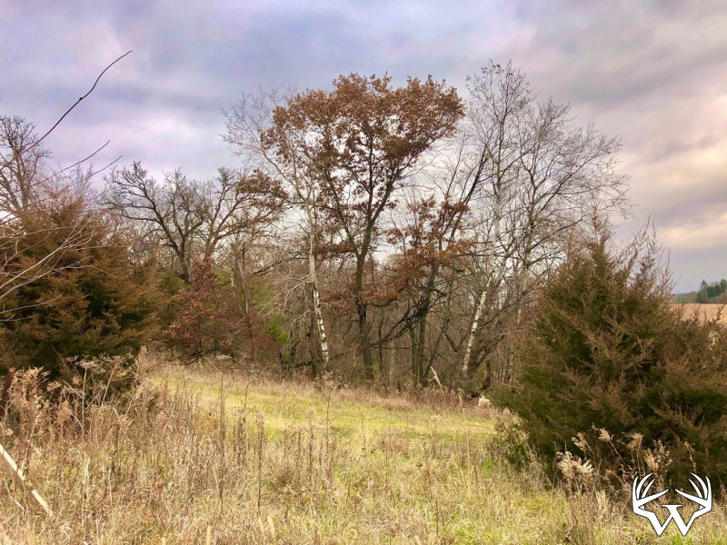
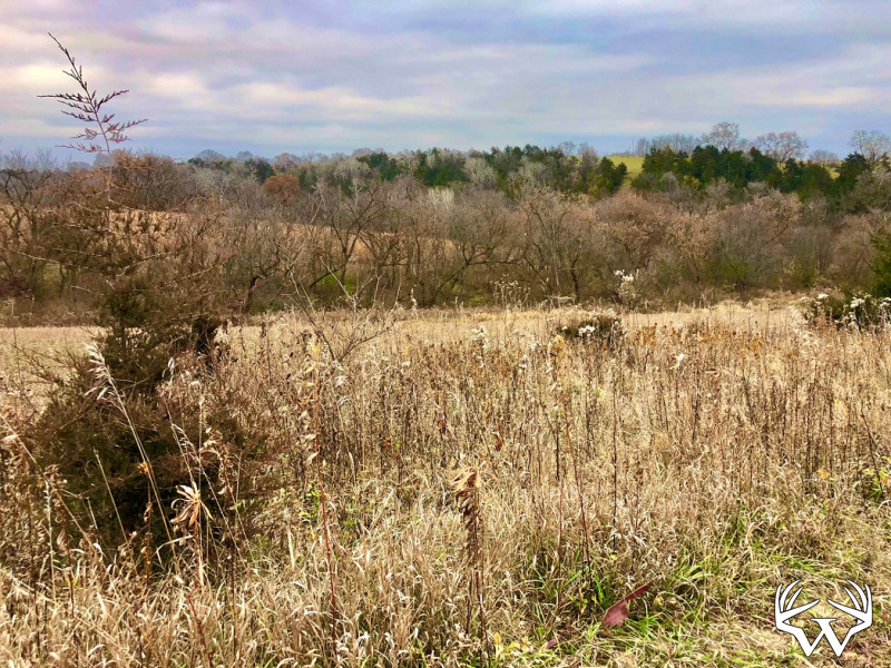
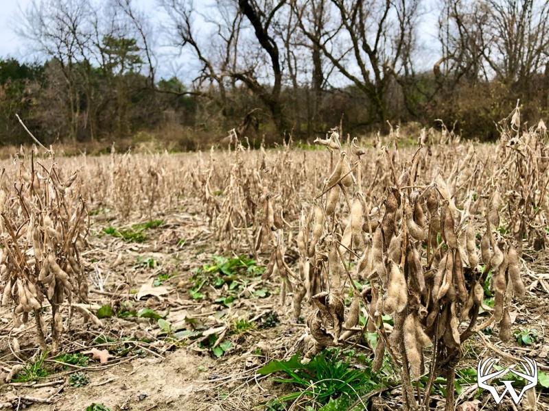
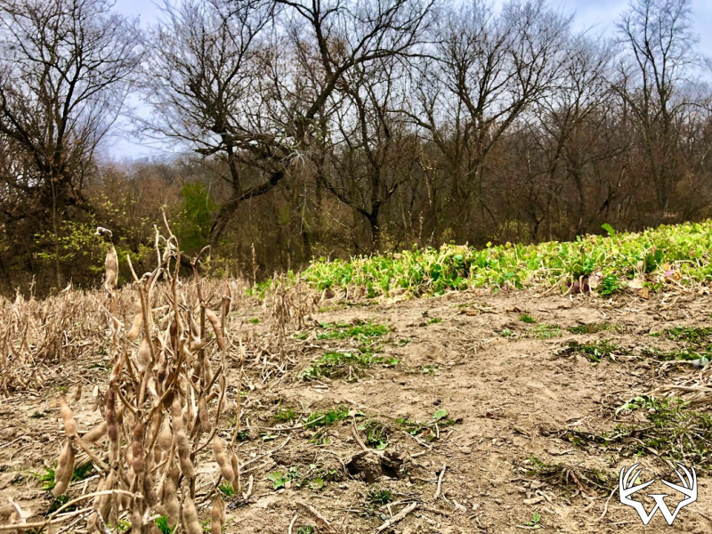
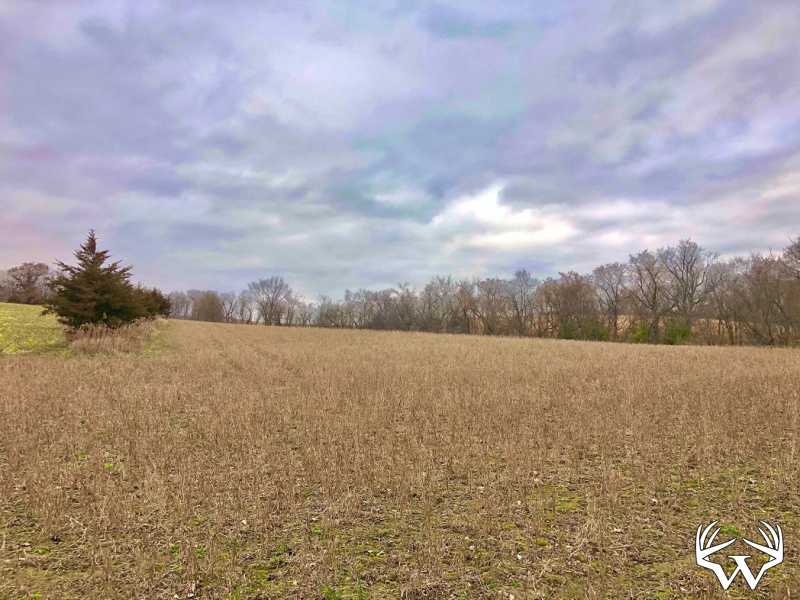
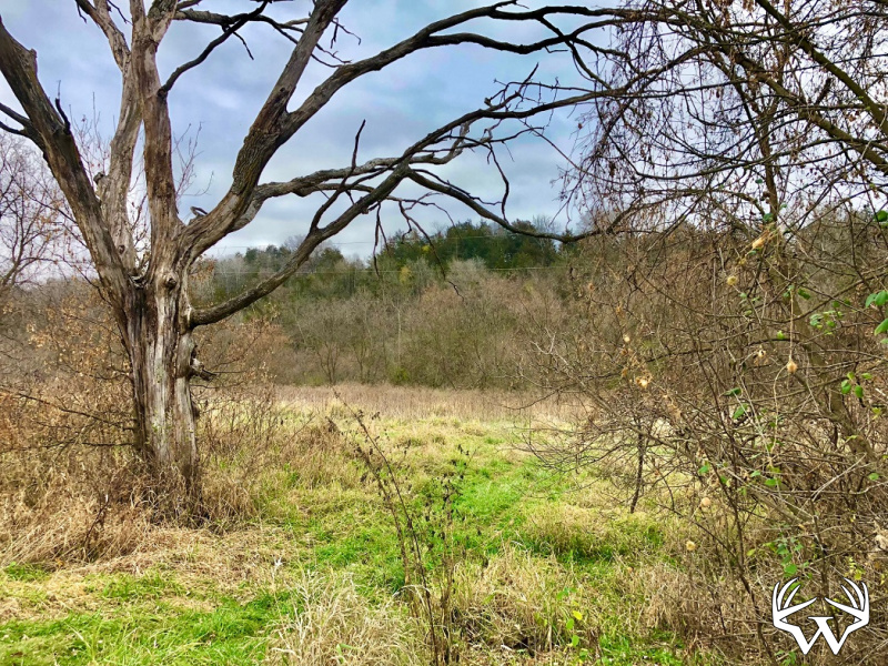
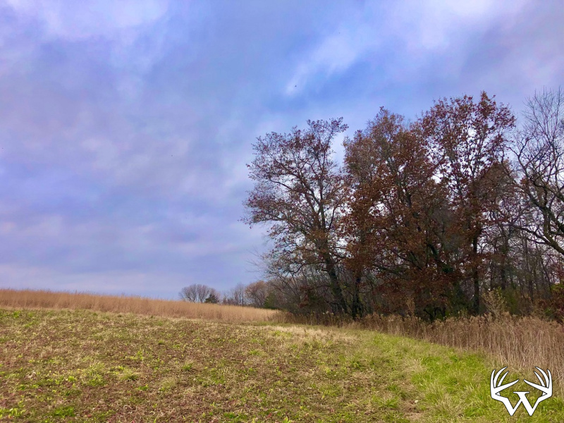
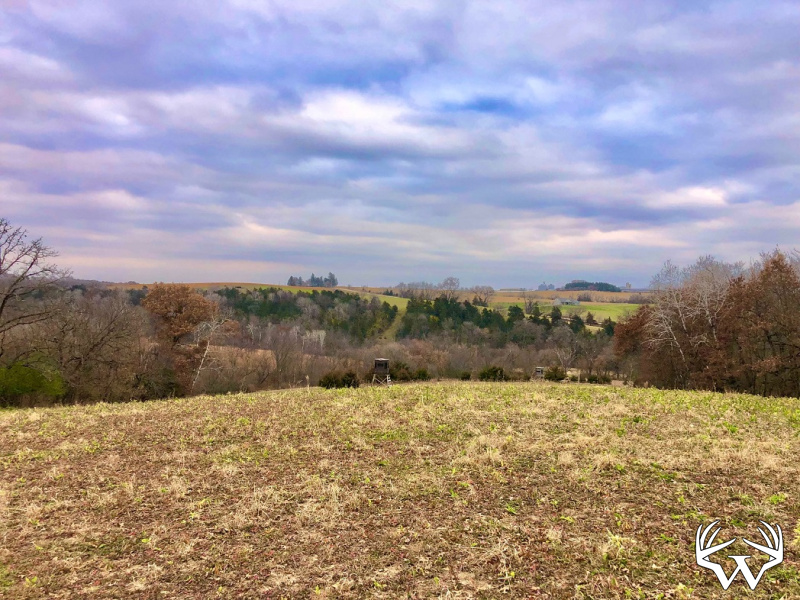
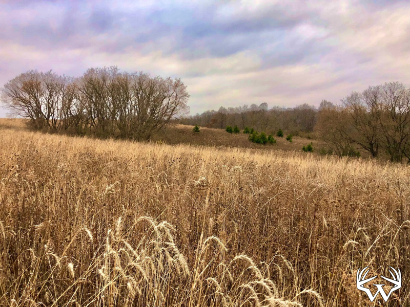
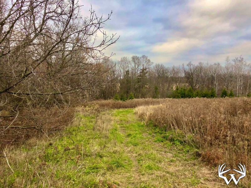
Land Type:
Acreage
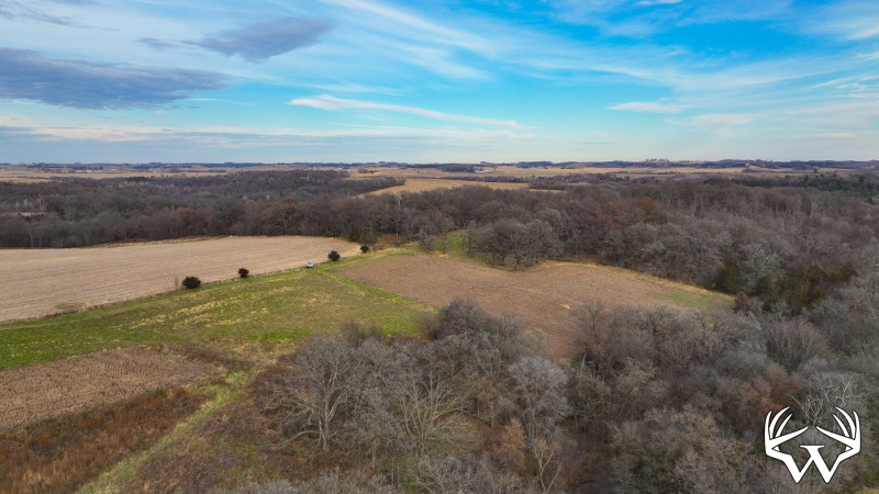
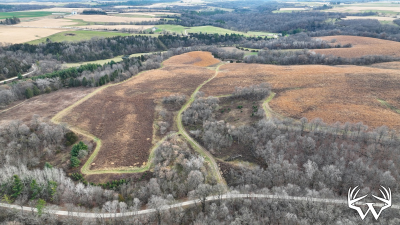
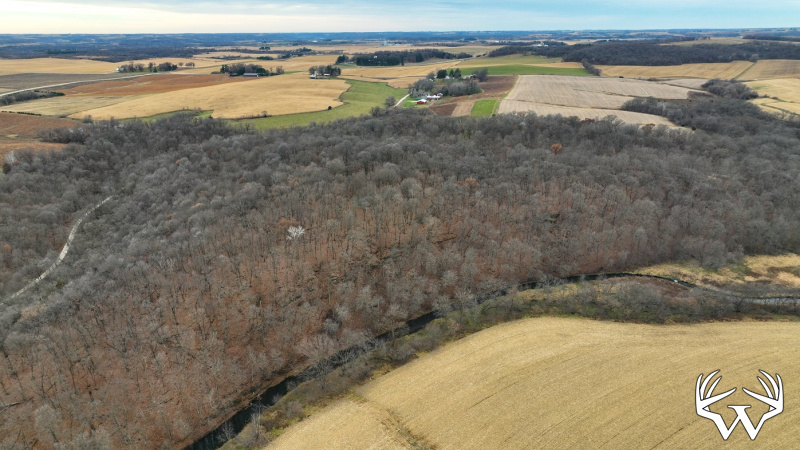
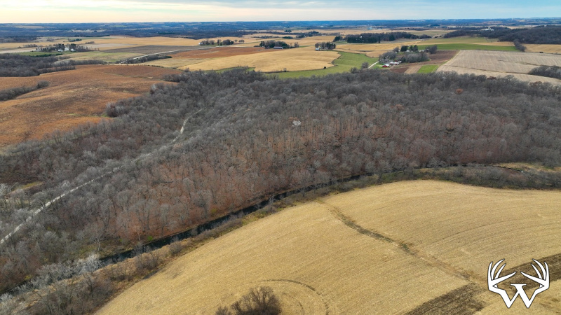
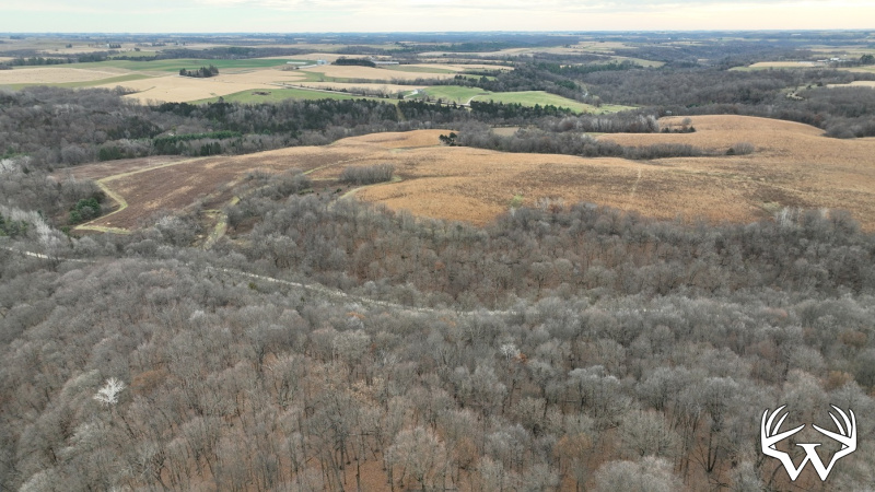
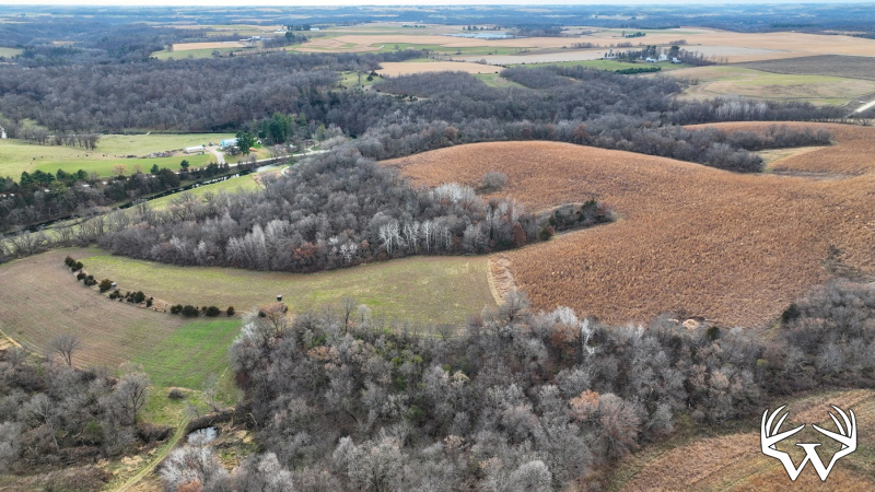
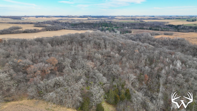
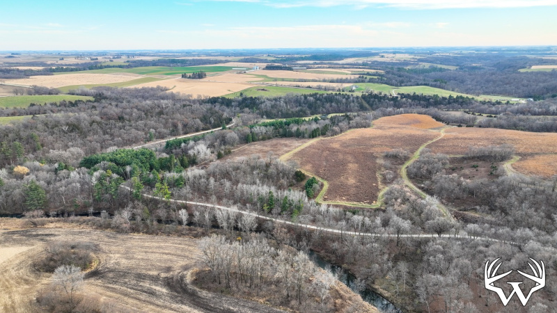
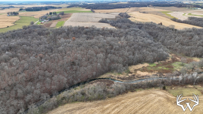
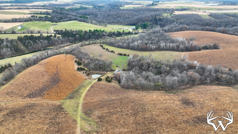
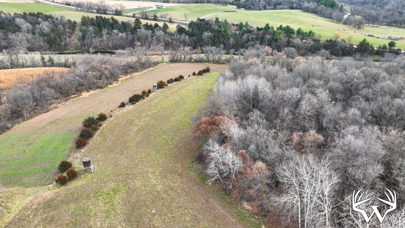
Acres:
200
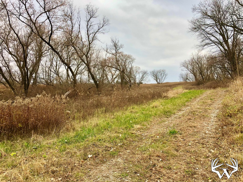
Tillable Acres:
100
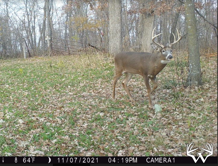
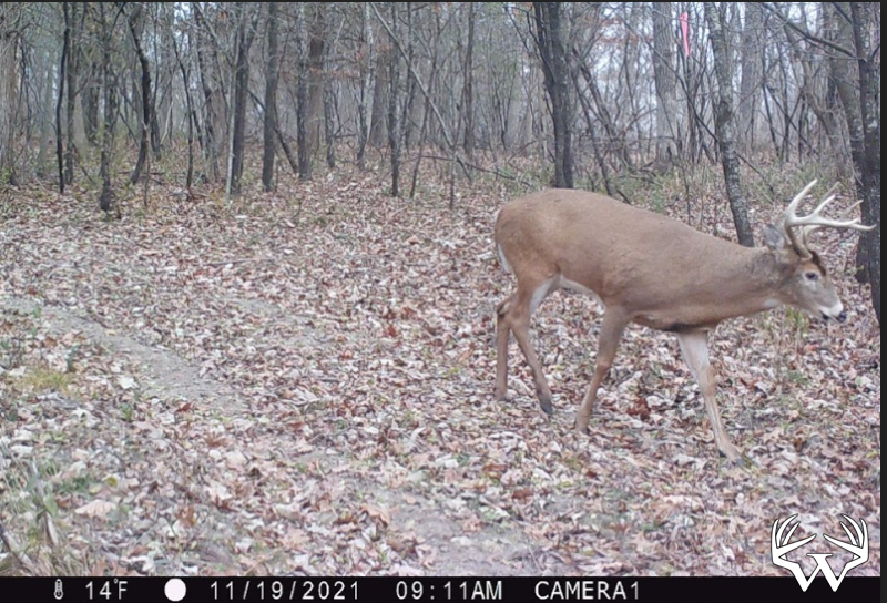
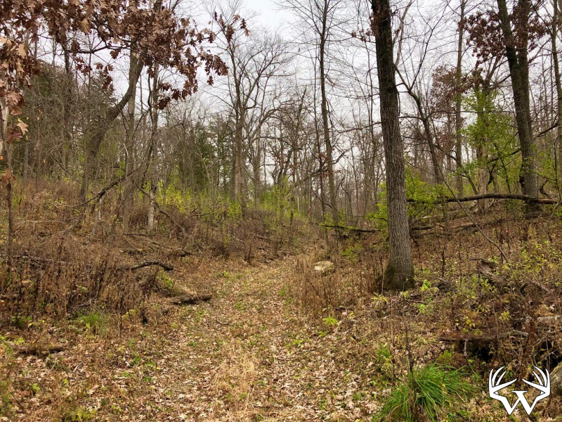
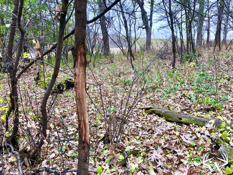
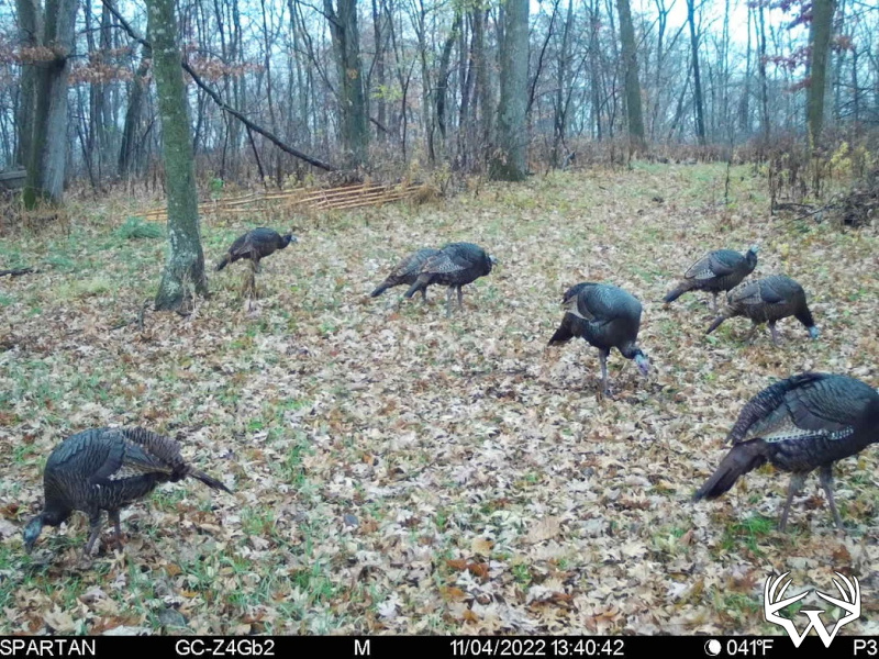
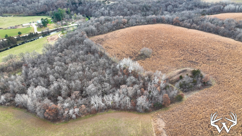
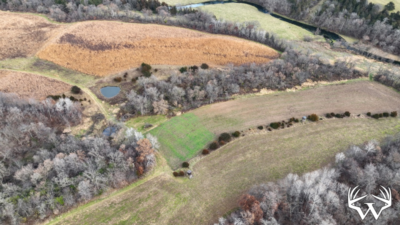
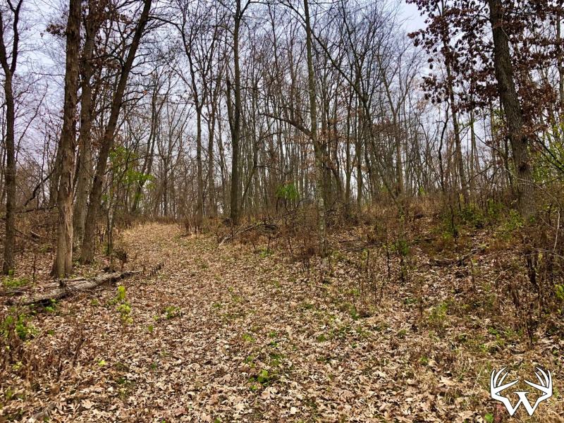
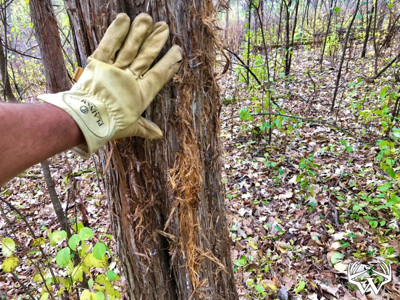
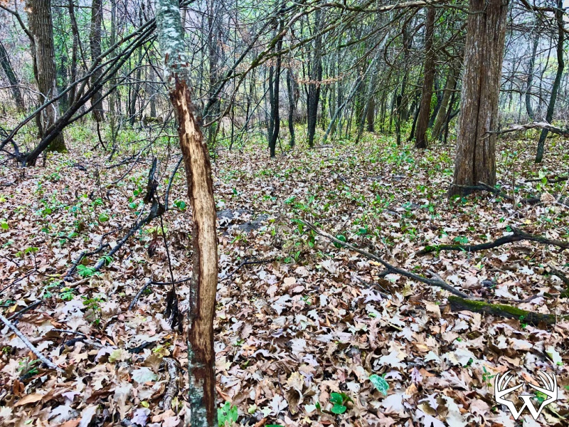
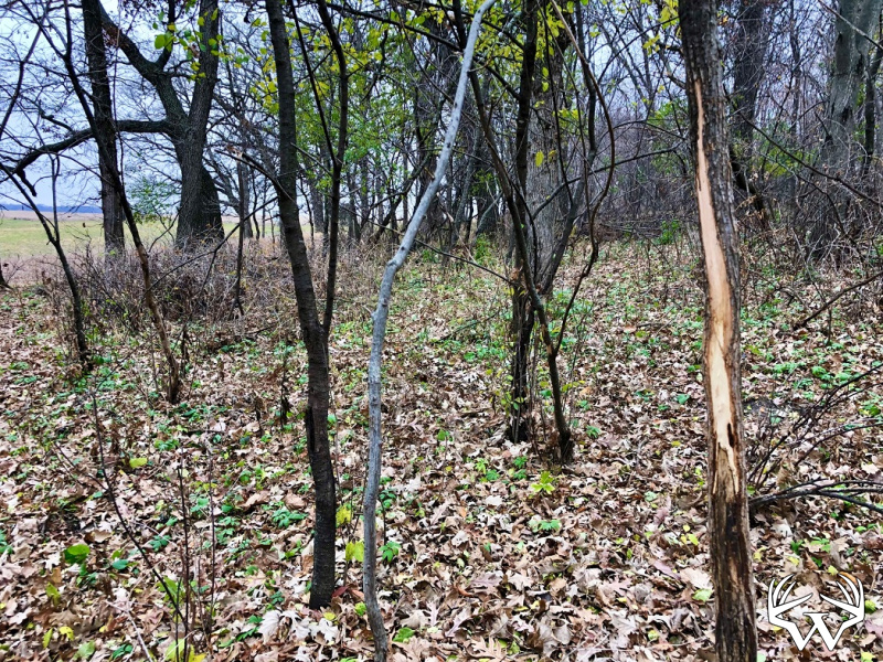
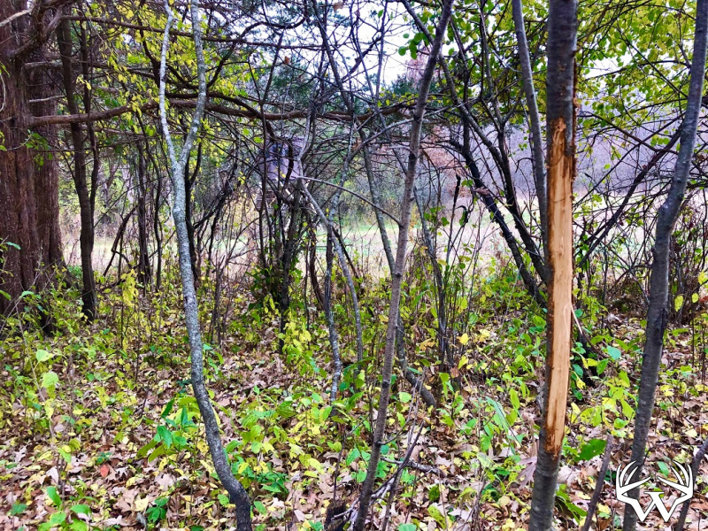
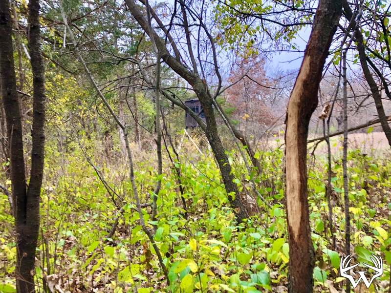
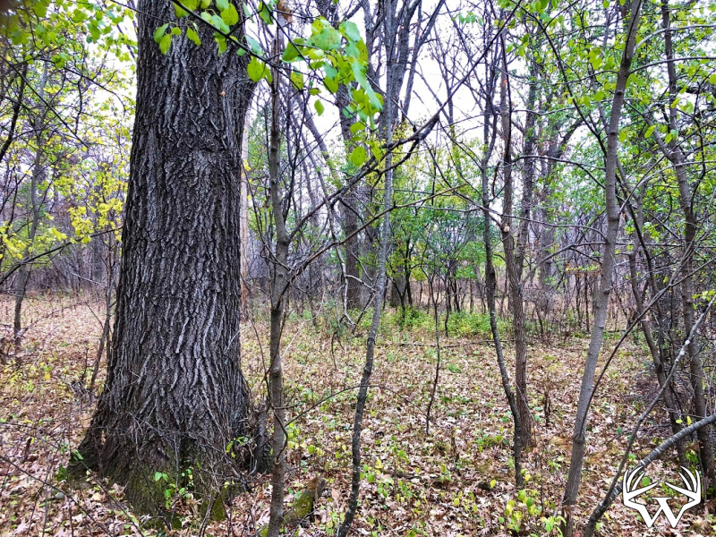
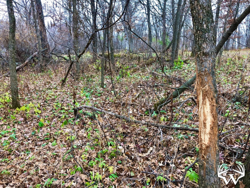
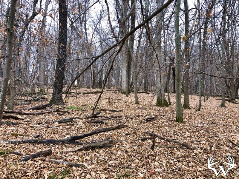
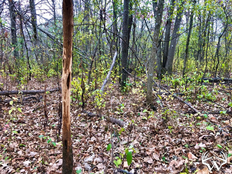
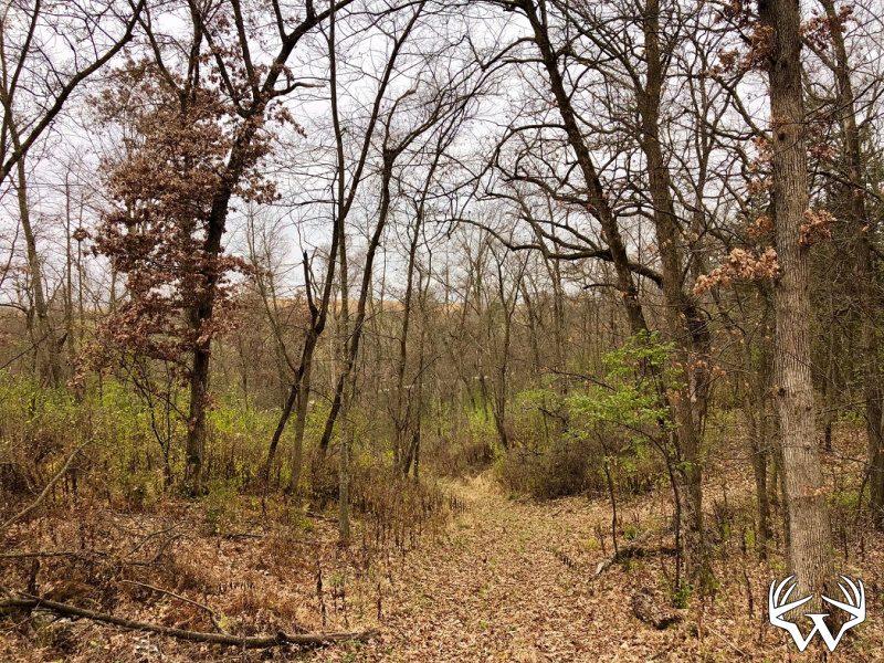
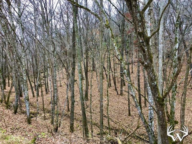
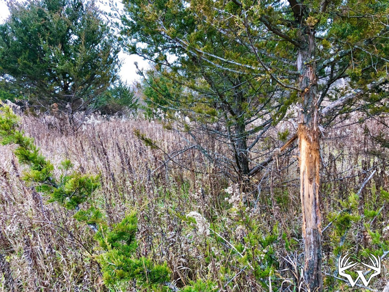
Wooded Acres:
100
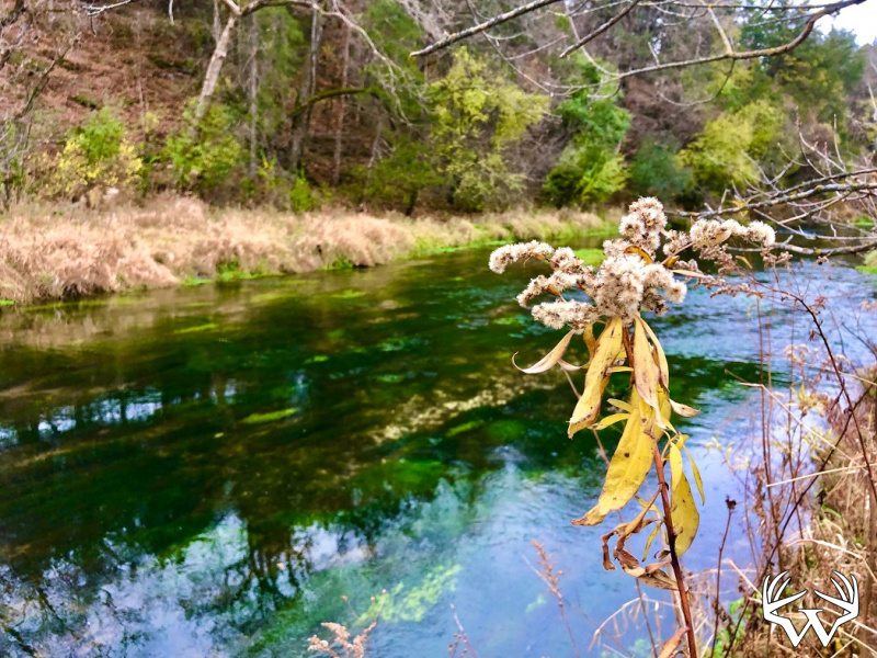
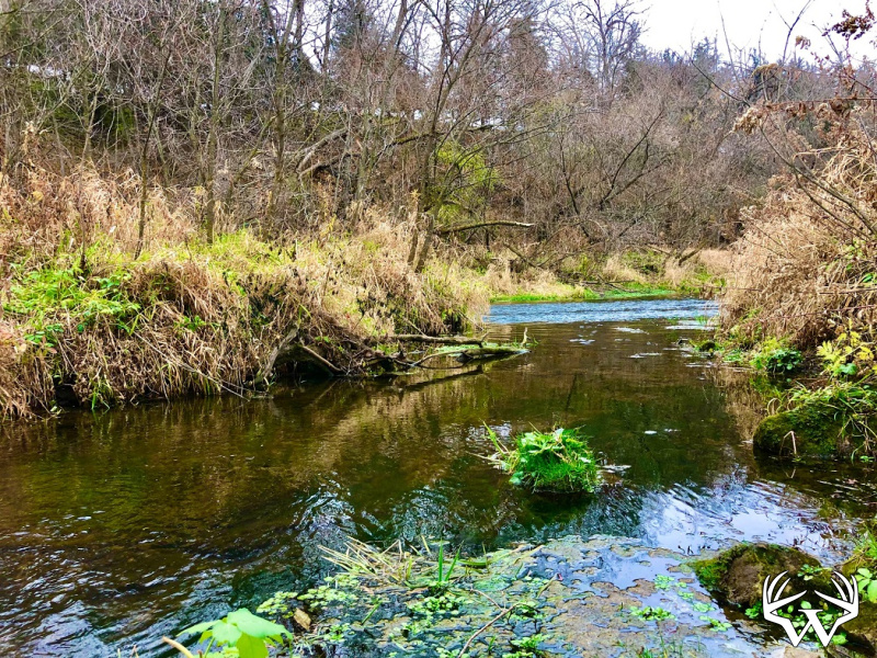
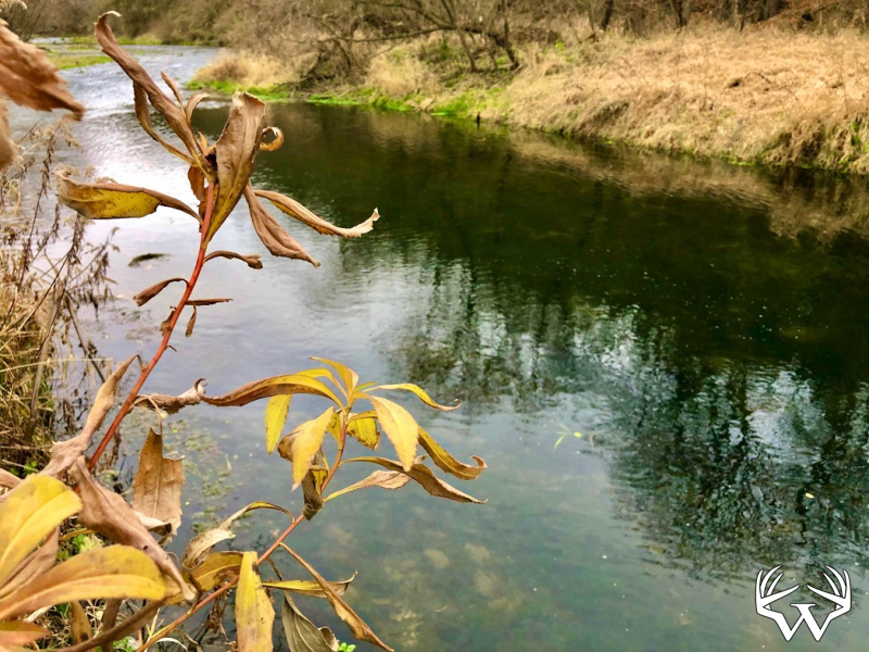
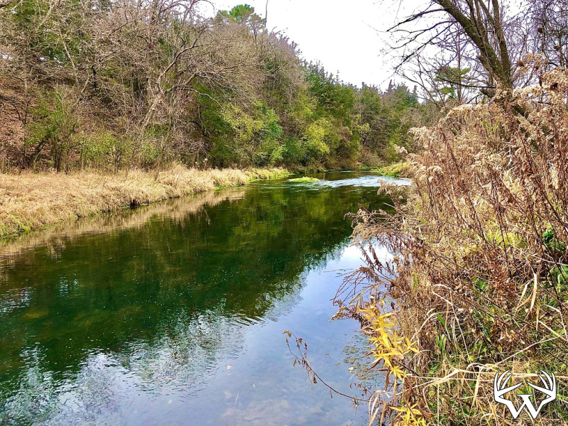
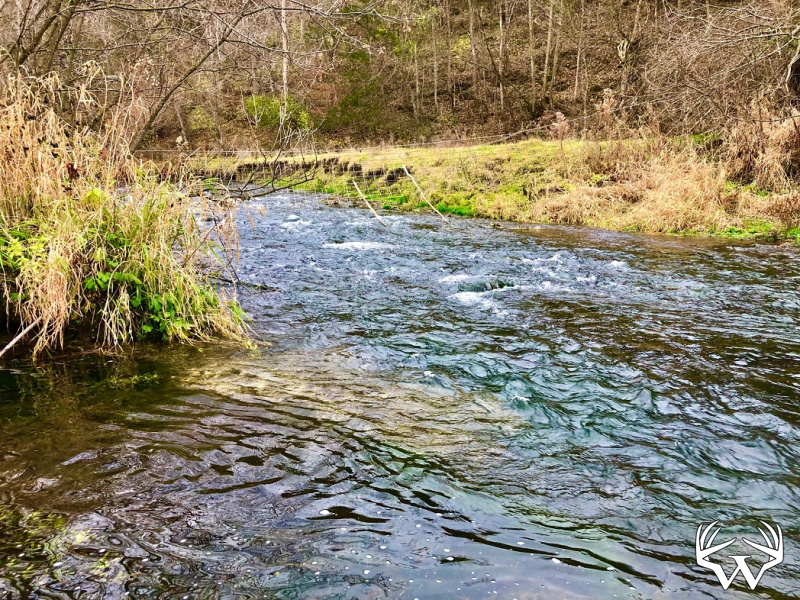
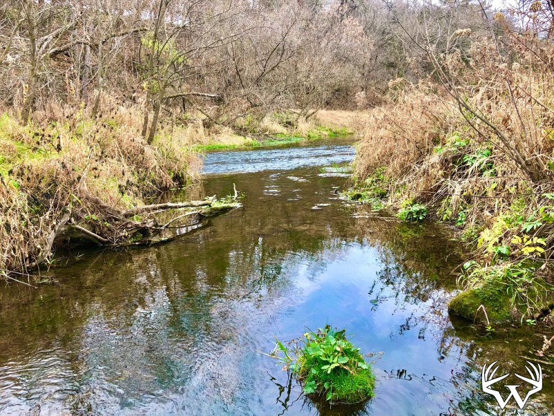
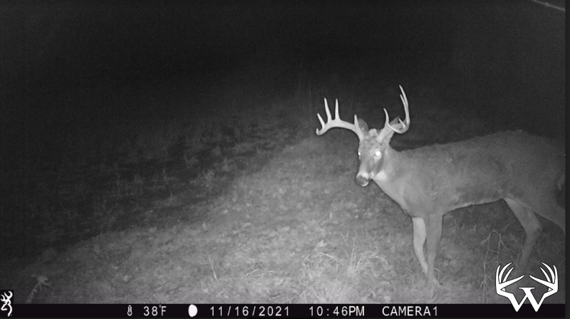
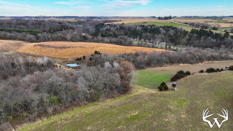
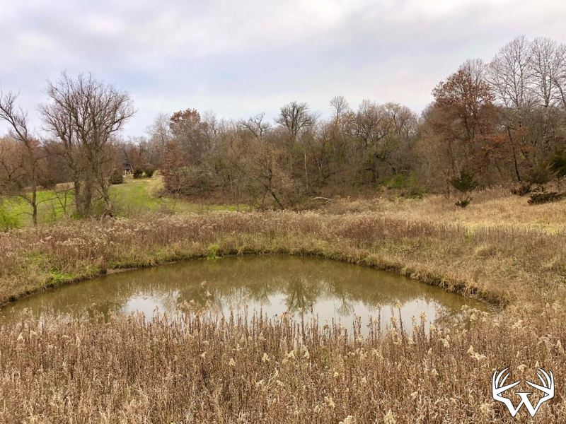
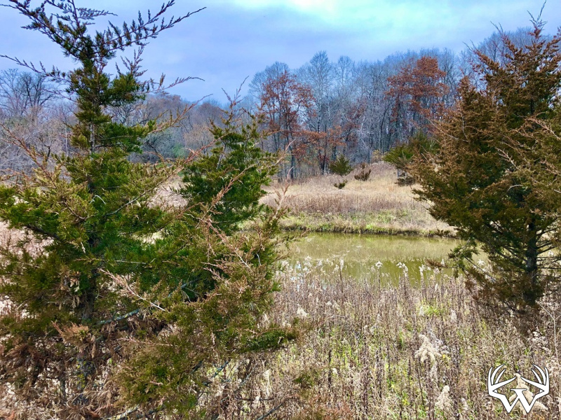
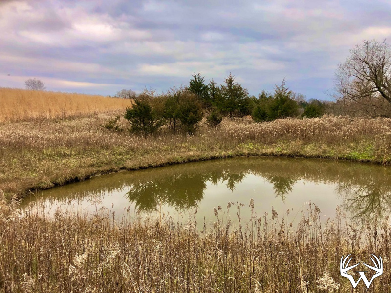
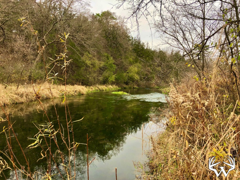
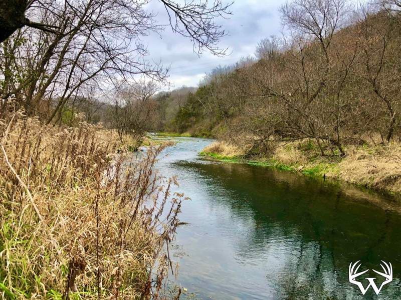
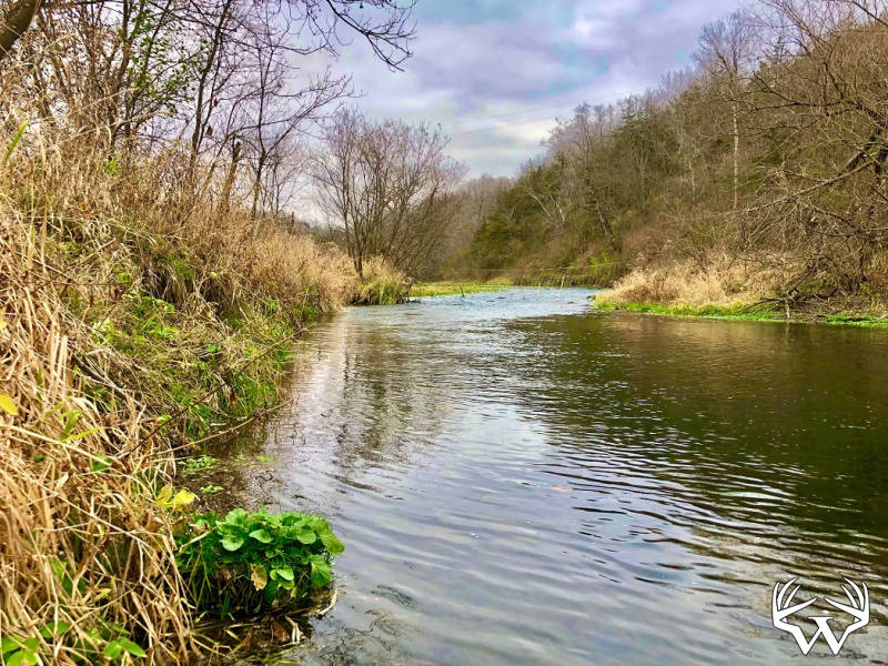
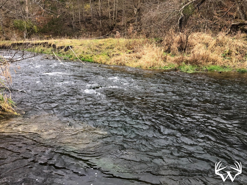
Waterfront:
Yes
Waterfront Type:
River
Waterfront Name:
Trout Run
TBD 200 Gunflint Road, Chatfield, MN
Contact Your
Weiss Realty Agent...
Weiss Realty Agent...

Owner, MN, WI & IA Broker
To receive additional information about this property, fill out the form below.