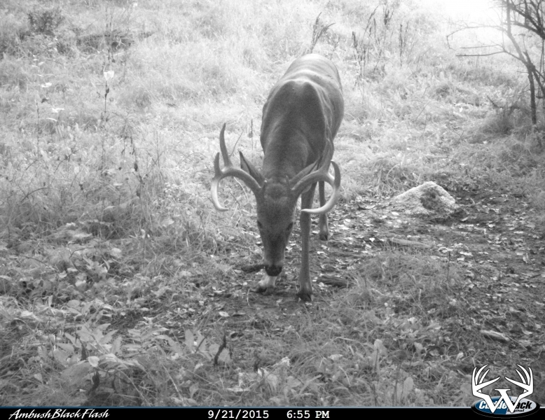
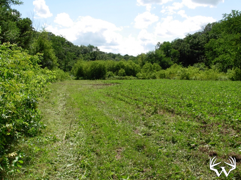
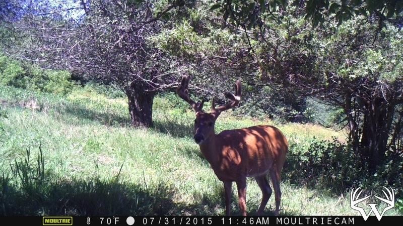
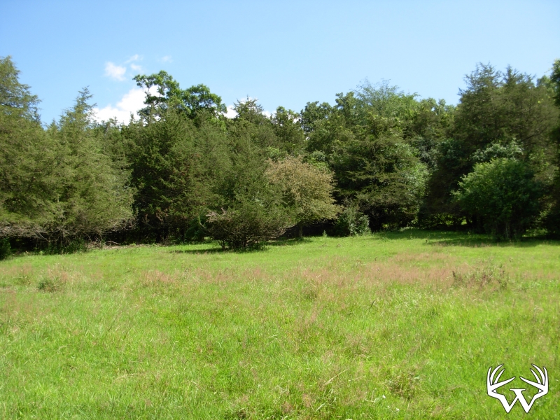
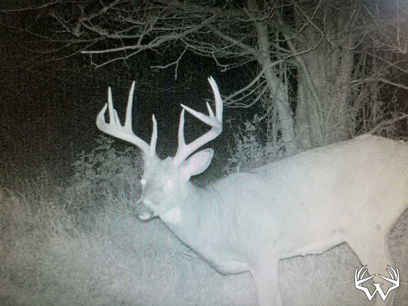
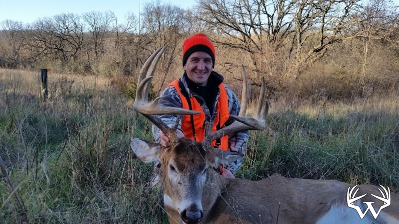
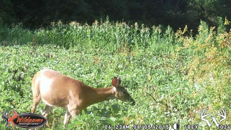
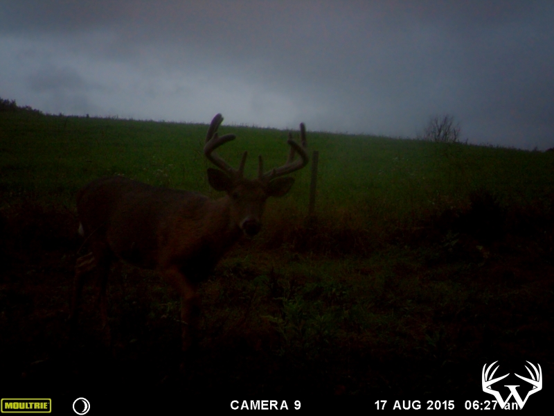
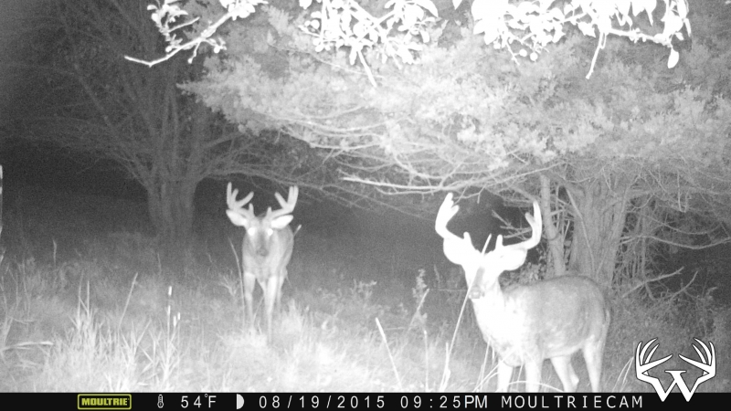
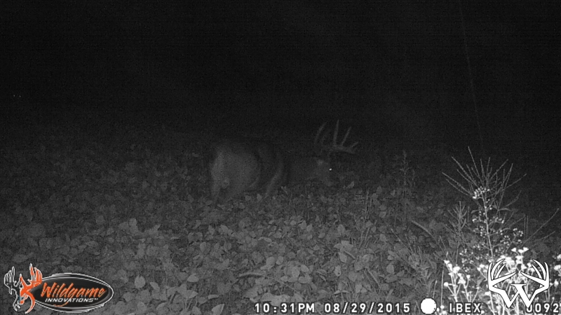
Hunting Land and Farms: Minnesota: Fillmore County
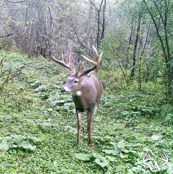
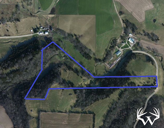
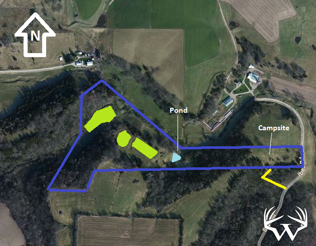
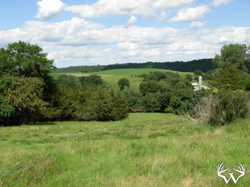
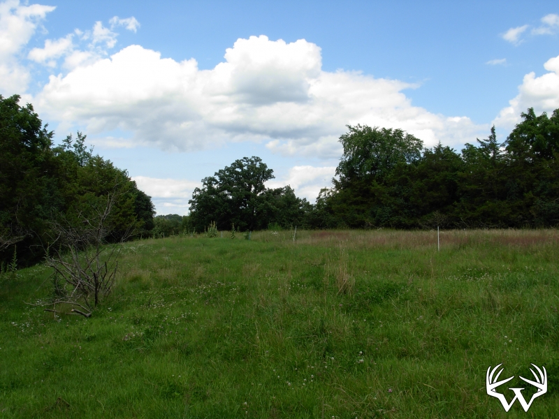
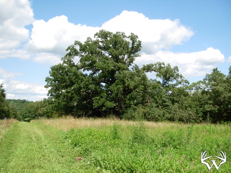
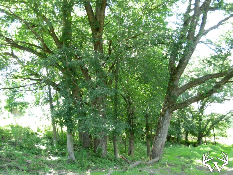
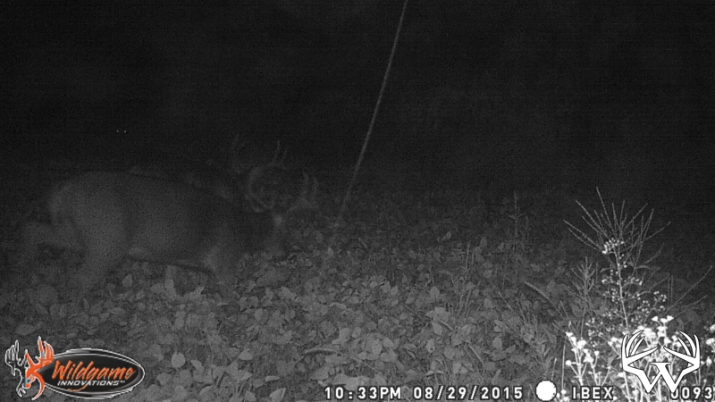
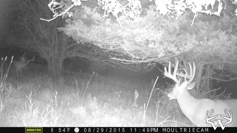
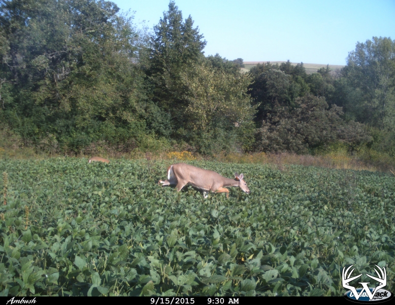
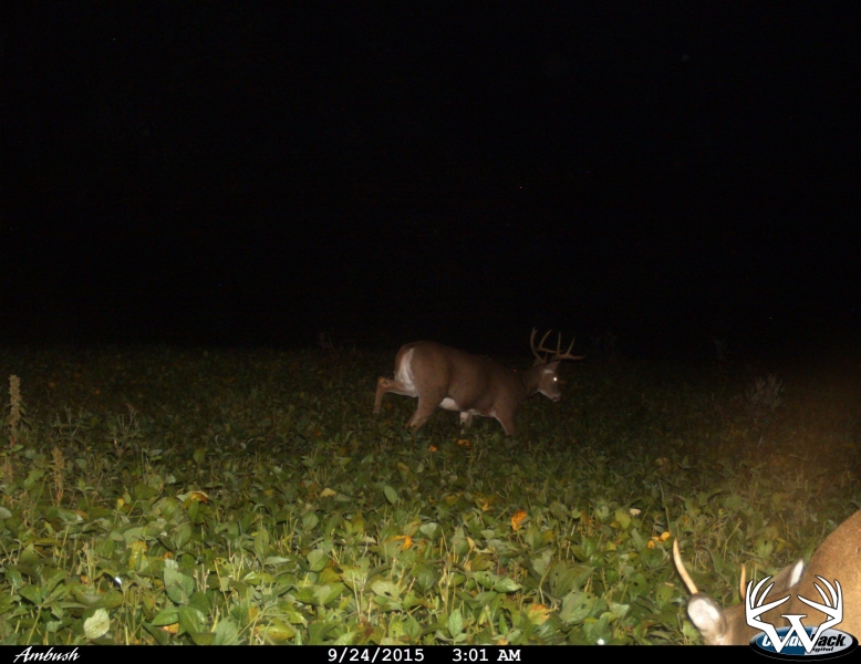
29 Acres Fillmore County - SOLD!

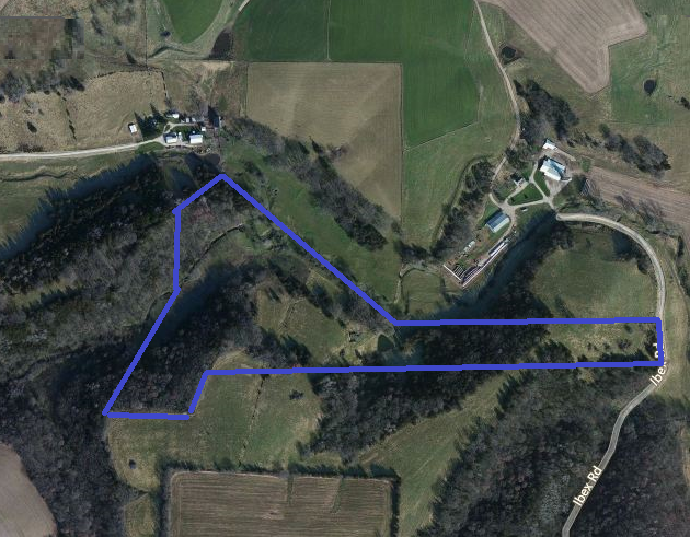
Directions:
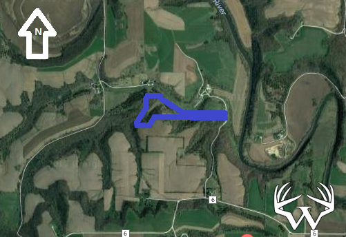
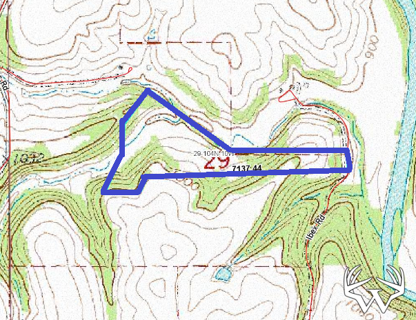
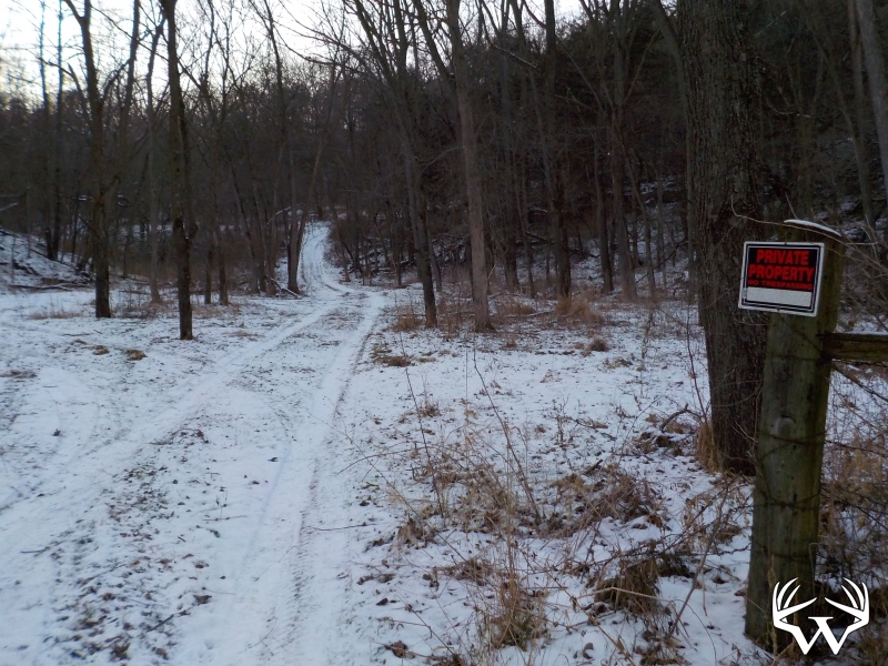
From Chatfield take Hwy 52 south 7 miles to 280th St. Take 280th west 2 miles then north on County 11 ¼ mile to County 6. Follow County 6 two miles to Ibex Rd. Property entrance at the bottom of the hill on Ibex Rd west side.Please respect landowners and do not trespass on property for viewing without permission.
Features:
List Price:
$121,000
MLS #
4084851
Status:
Sold
Property Type:
Hunting, Sold
Zoning:
Agricultural
Address:
TBD 29 Acres Ibex Rd
City/State:
Fountain, MN
School District:
Chatfield
Township:
Pilot Mound
Sec/Twp/Rng:
S29/T104/R10
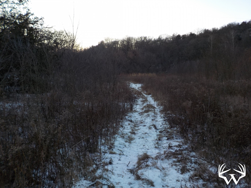
Road Access:
Private Easement
Taxes:
$678
Tax Year:
2017
Lot Size:
Irregular
Electricity:
On Lot
Water:
None
Sewer:
None
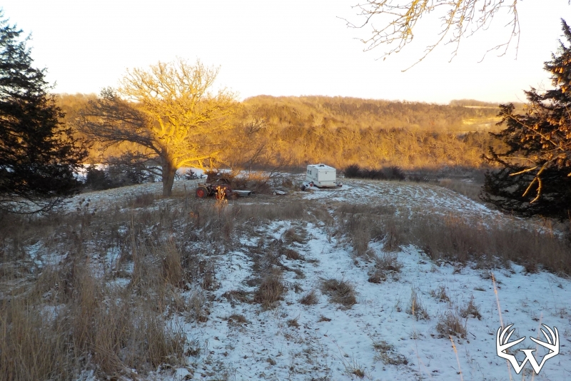
Outbuildings:
No
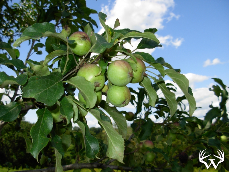
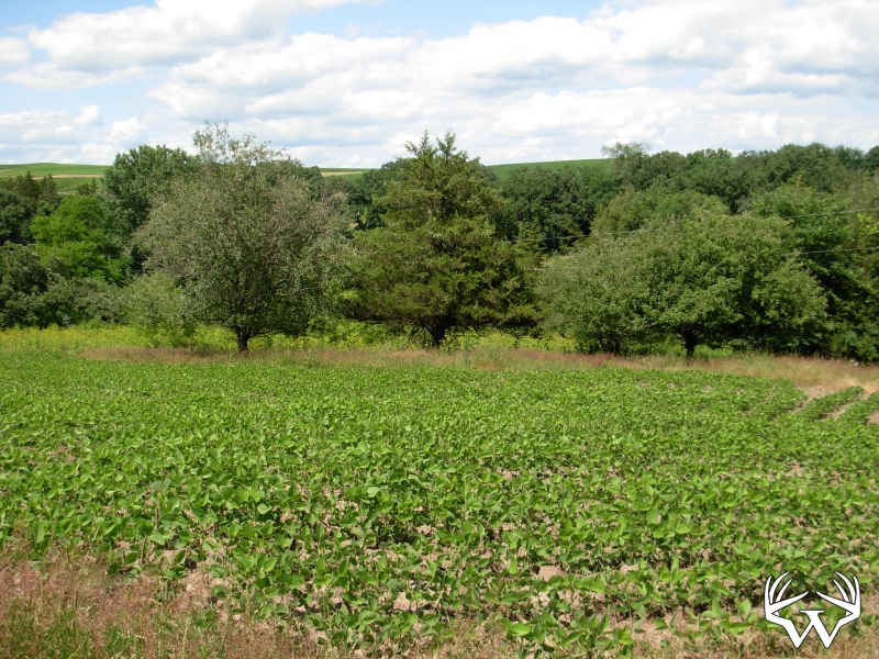
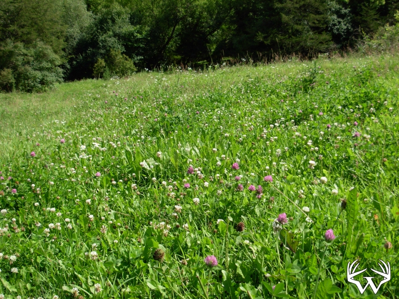
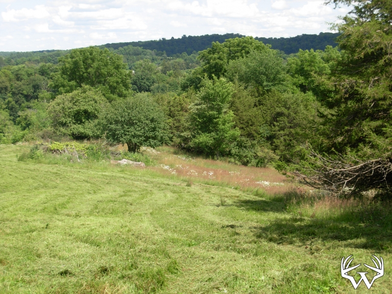
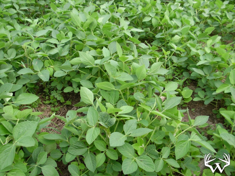
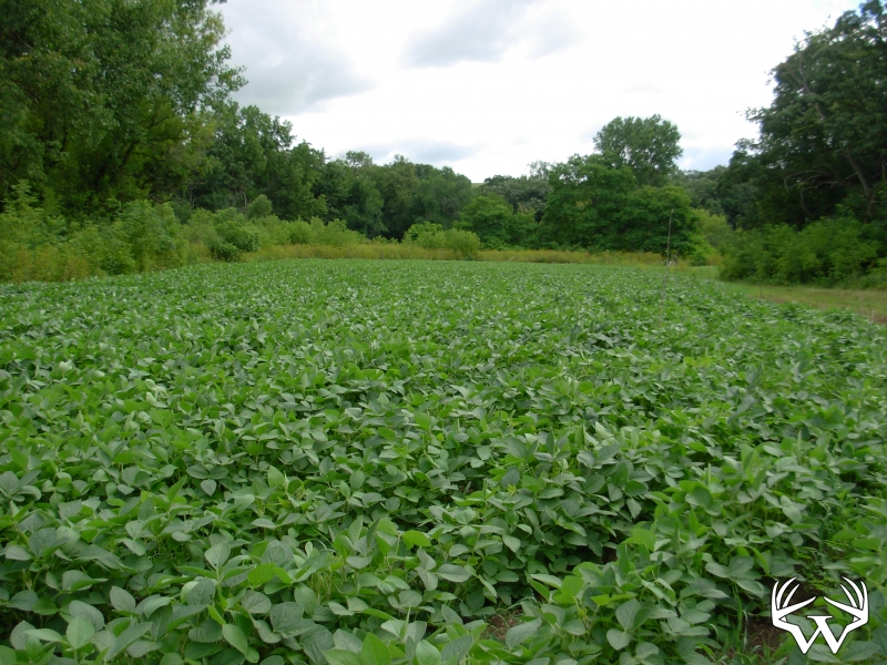
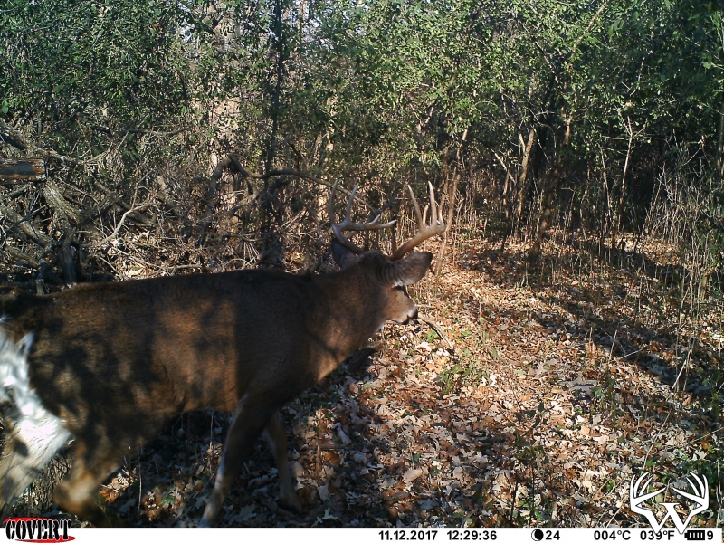
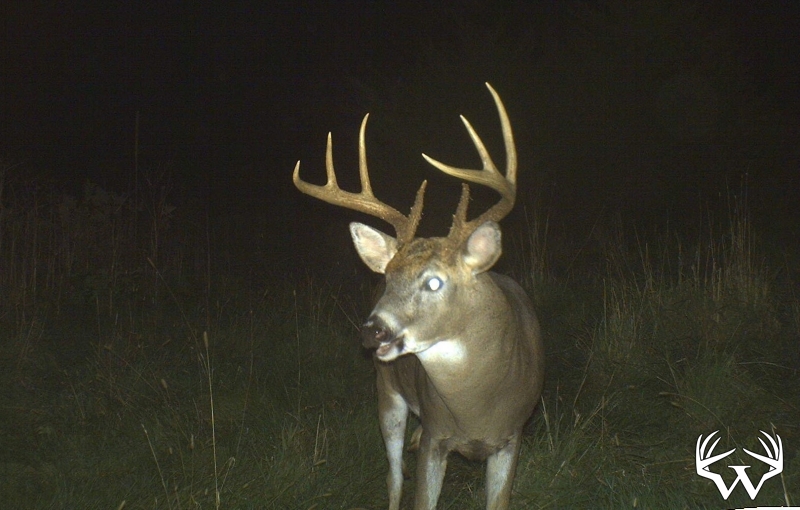
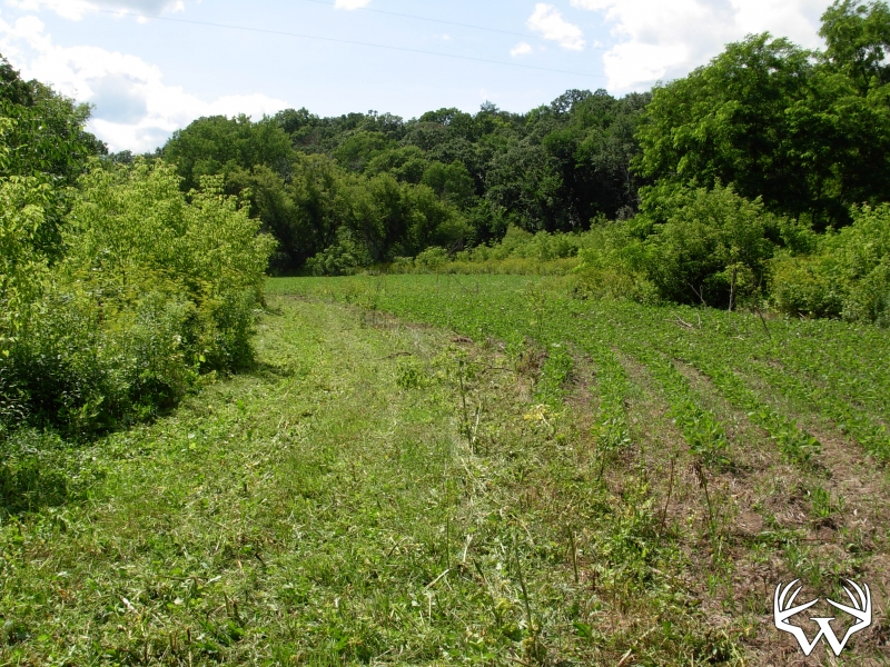
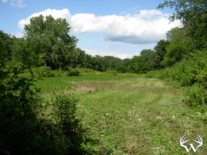
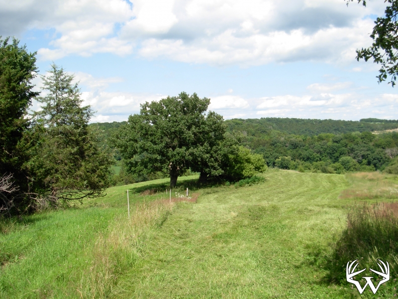
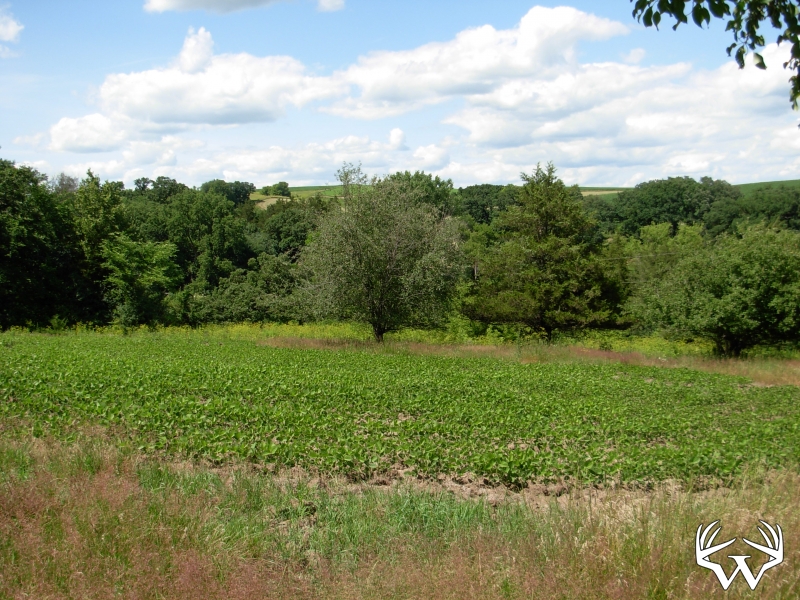
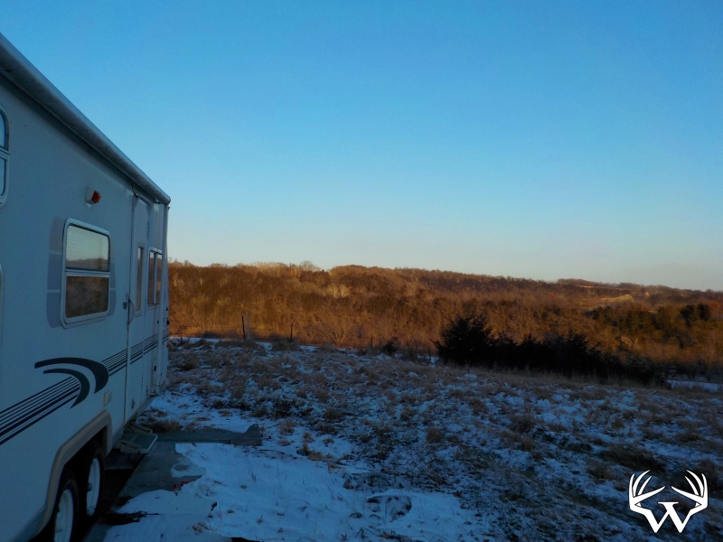
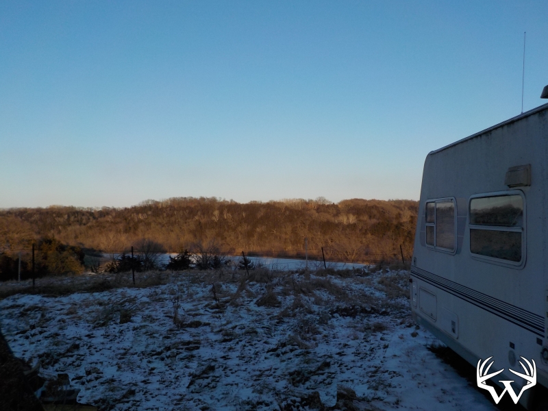
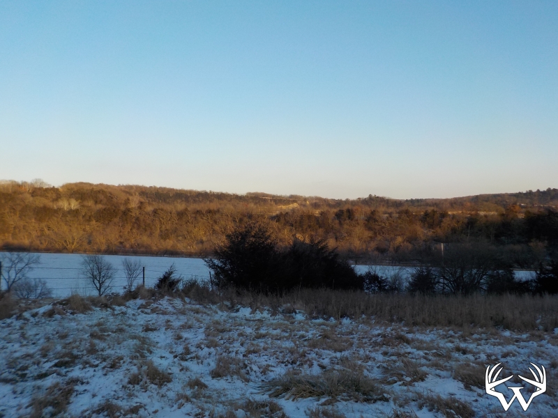
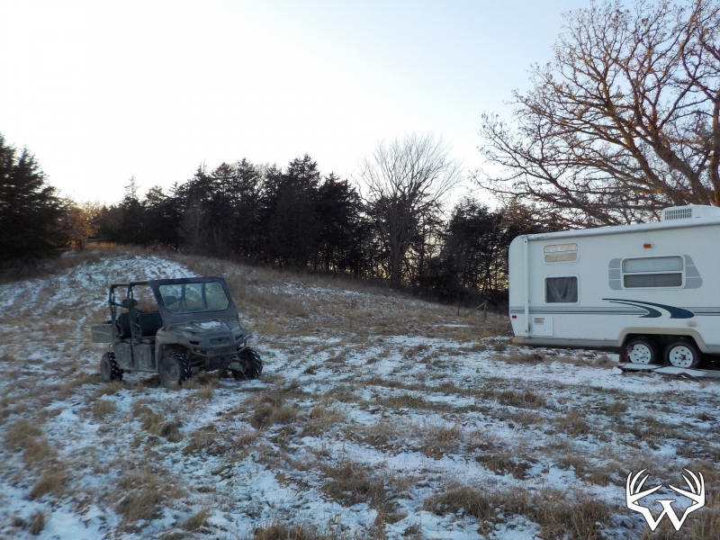
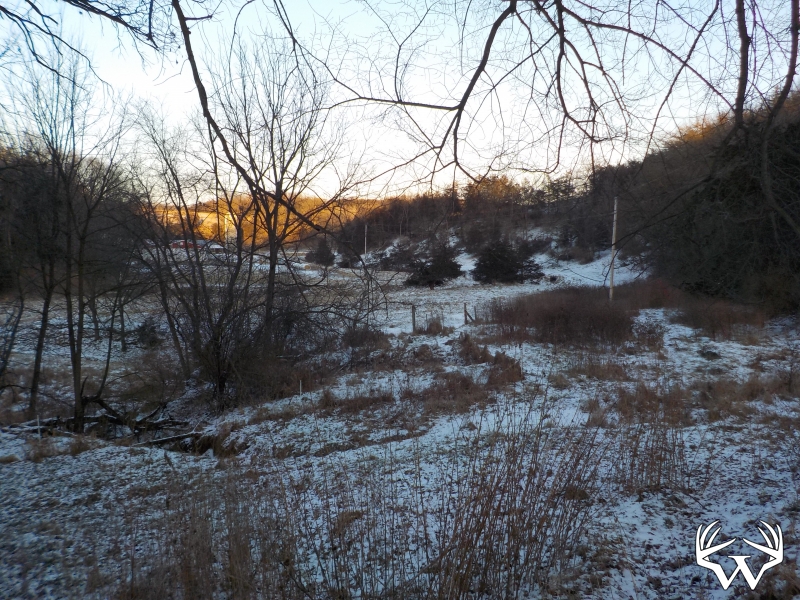
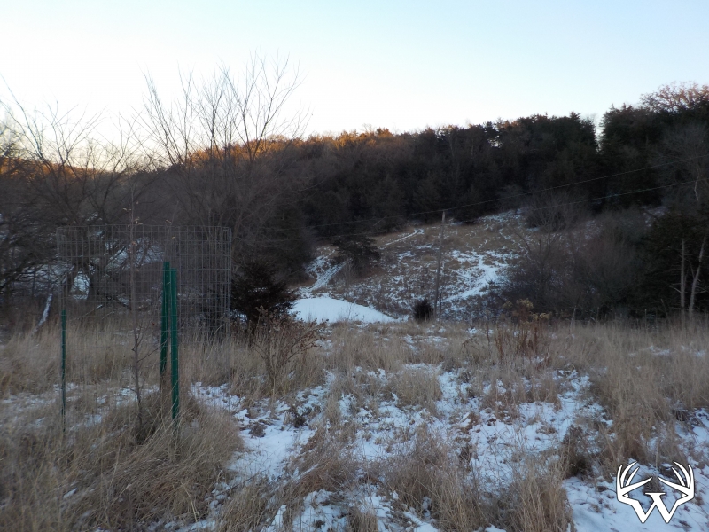
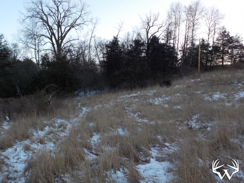
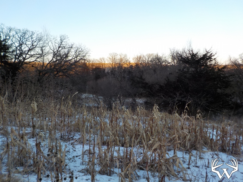
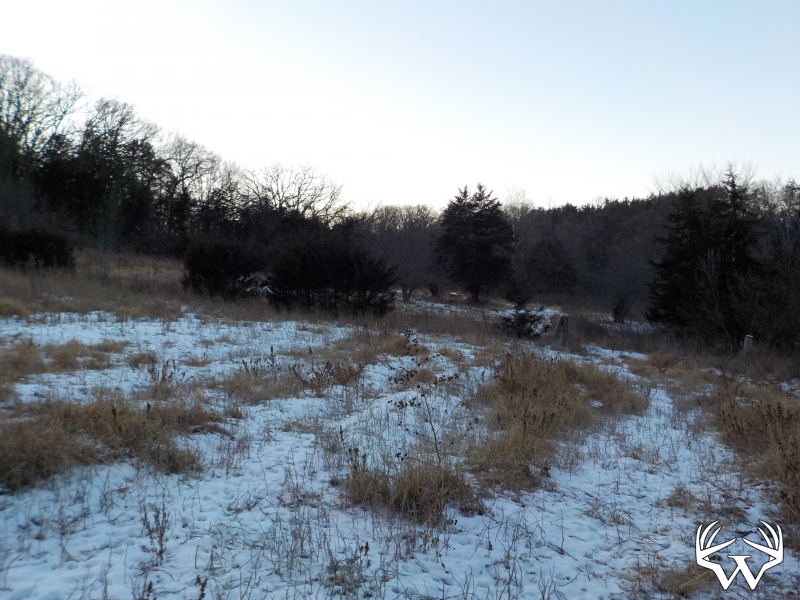
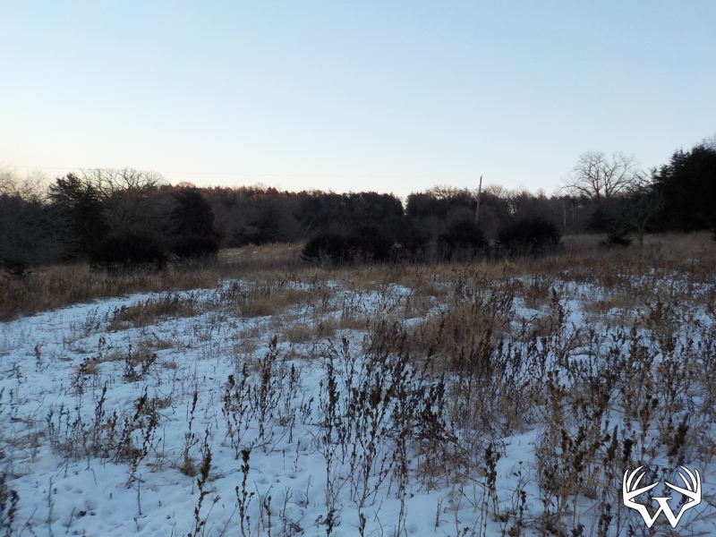
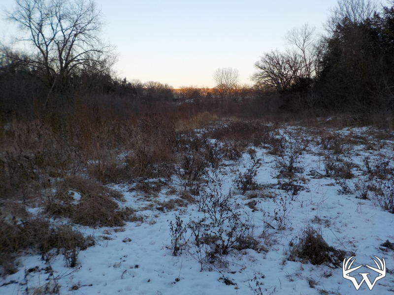
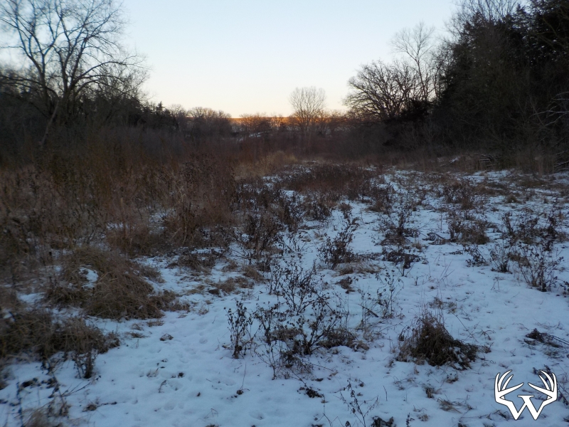
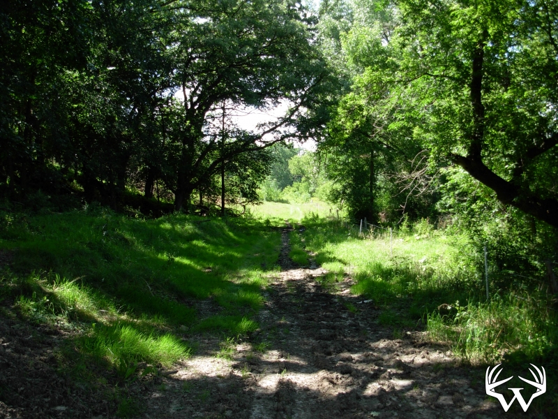
Land Type:
Acreage
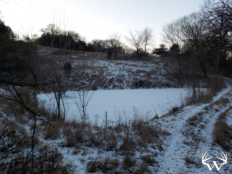
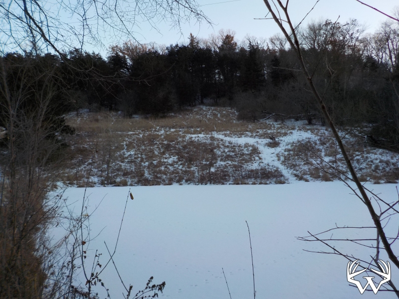
Acres:
29
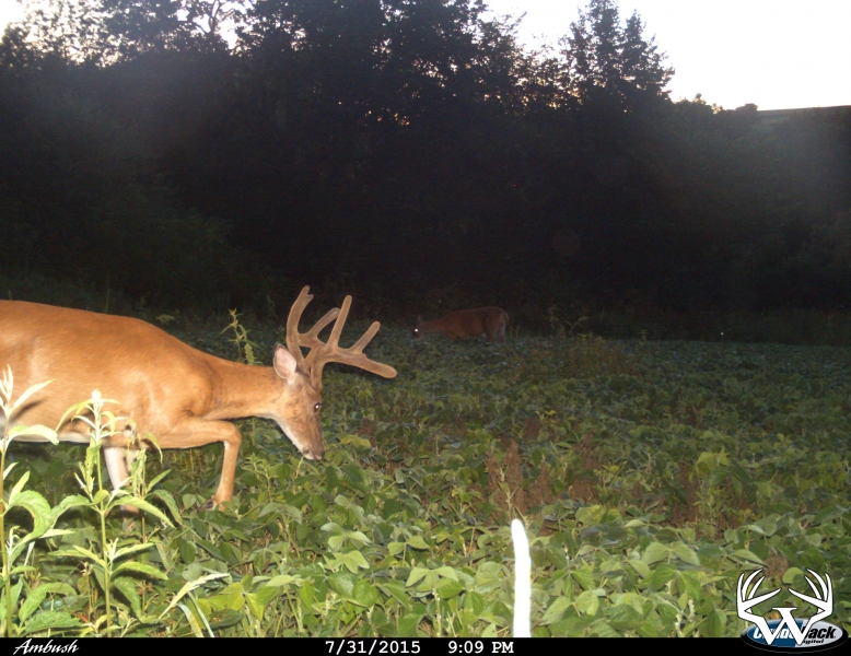
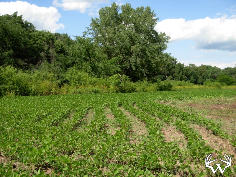
Tillable Acres:
4
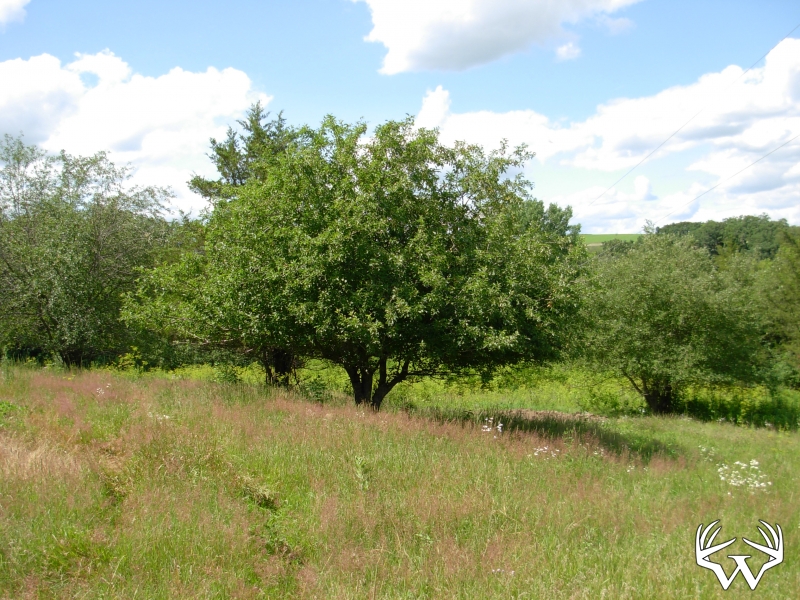
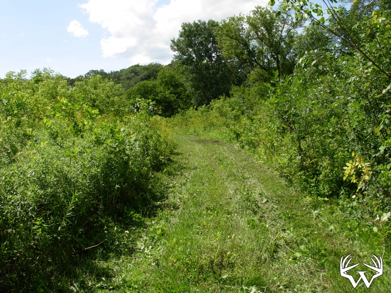
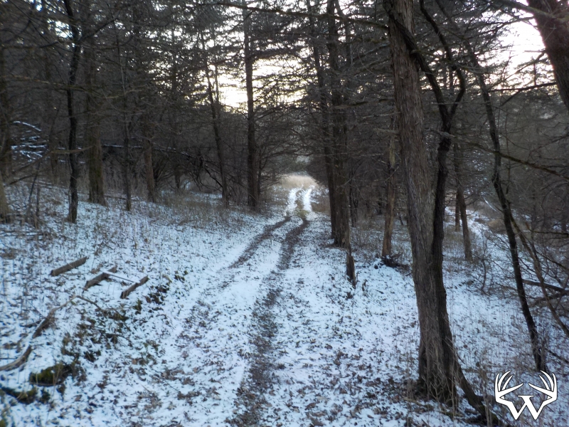
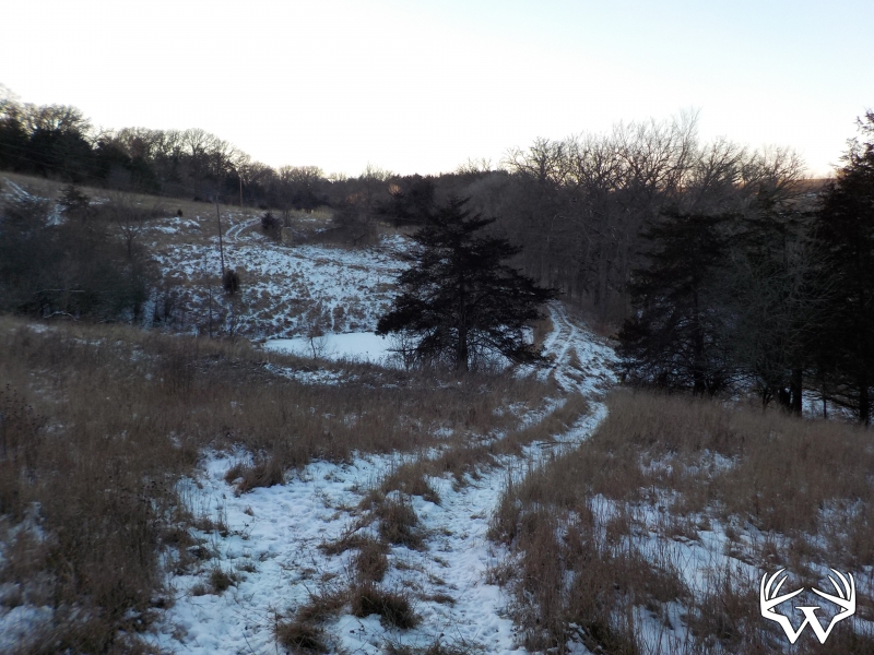
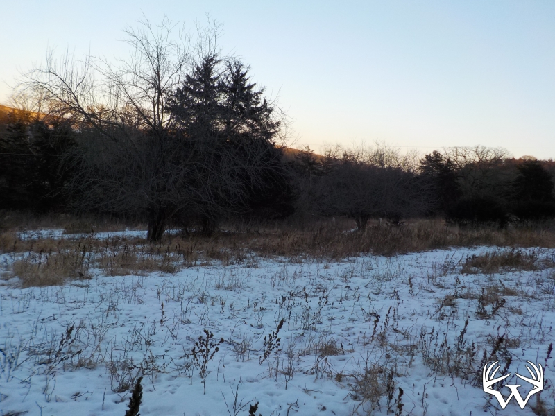
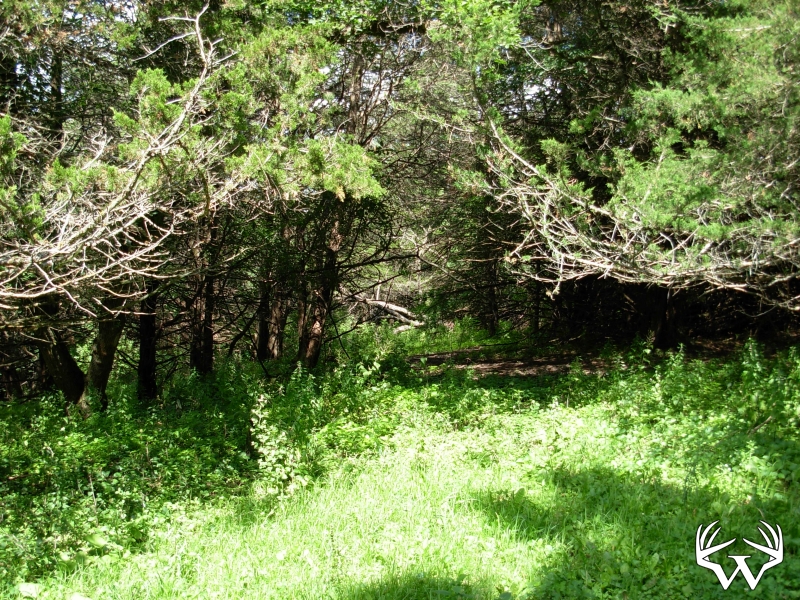
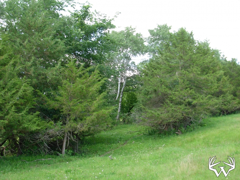
Wooded Acres:
25
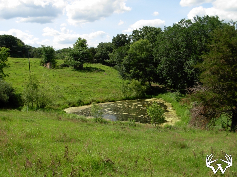
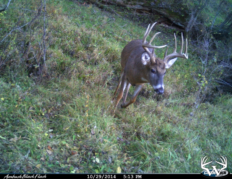
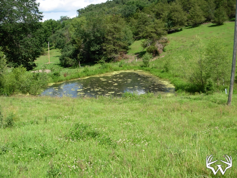
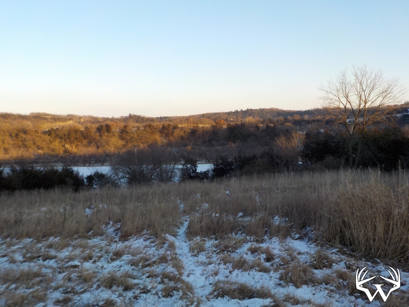
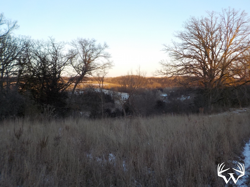
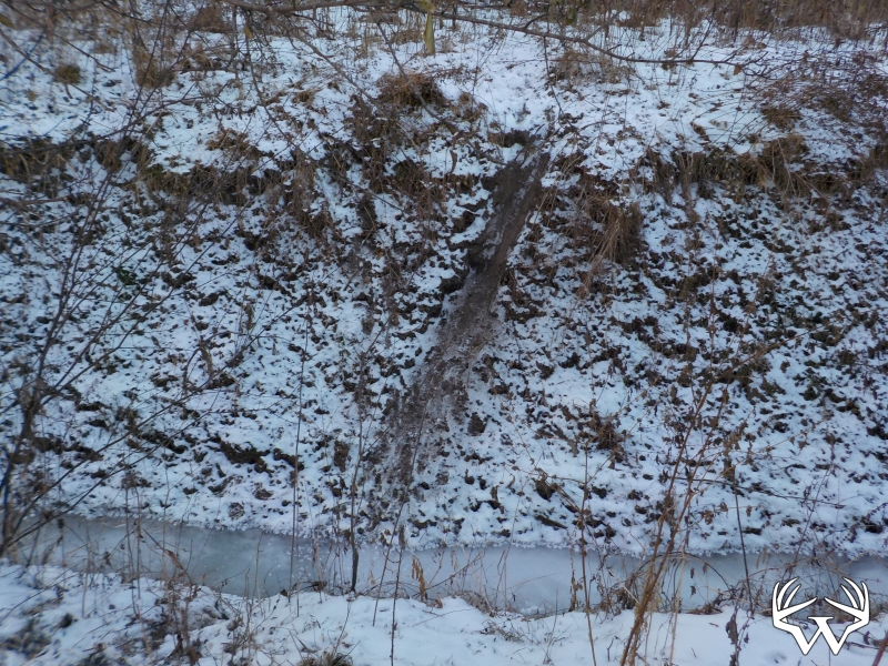
Waterfront:
Yes
Waterfront Type:
Pond
TBD 29 Acres Ibex Rd, Fountain, MN
Contact Your
Weiss Realty Agent...
Weiss Realty Agent...

Owner, MN & WI Broker
To receive additional information about this property, fill out the form below.